With this navigation app, you can plan and follow 3D off-road routes for hiking or 4x4 traveling using offline maps and sharing location data when connected. Includes support for public map sources, offline mapping, and map conversion capabilities.
AppRecs review analysis
AppRecs rating 4.1. Trustworthiness 0 out of 100. Review manipulation risk 0 out of 100. Based on a review sample analyzed.
★★★★☆
4.1
AppRecs Rating
Ratings breakdown
5 star
64%
4 star
16%
3 star
4%
2 star
4%
1 star
12%
What to know
✓
High user satisfaction
80% of sampled ratings are 4+ stars (4.1★ average)
✓
Authentic reviews
Natural distribution, no red flags
About Adama
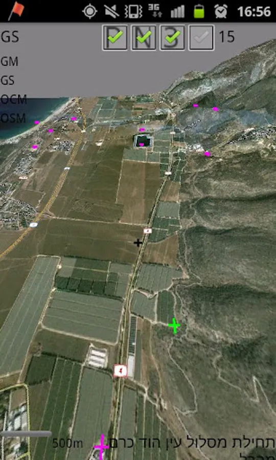
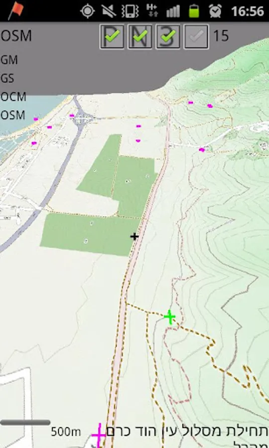
Adama is an online/offline 3D off-road navigation software. Its main usage would be for hiking or 4x4 traveling. Conceptually, it is based on tangogps - an open source, unix, gtk based solution.
It uses public available maps such as openstreet, opencycle.
You may use other off line maps, given that they are managed as tiles, for more info visit http://wiki.openstreetmap.org/wiki/Slippy_map_tilenames
Adama can also read Orux xml maps and convert them to the tiles system, enabling orux's maps visualization in 3D!
Adama can also be used to share location information with others, yet this feature require network connection.
Have a nice trip!
This is an alpha version.