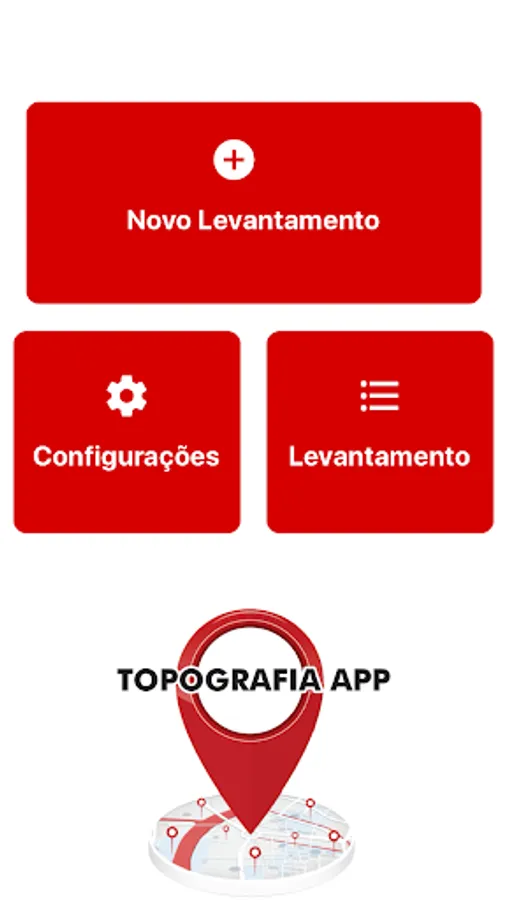
Topography APP
Aguiar Engenharia Inteligente
3.4 ★
2K ratings
100,000+
downloads
Free
With this land surveying app, you can georeference sites, design networks, and export data to various formats. Includes data export options, field data transmission, and survey marking features.
AppRecs review analysis
AppRecs rating 3.7. Trustworthiness 42 out of 100. Review manipulation risk 45 out of 100. Based on a review sample analyzed.
★★★☆☆
3.7
AppRecs Rating
Ratings breakdown
5 star
20%
4 star
40%
3 star
20%
2 star
0%
1 star
20%
What to know
✓
Authentic reviews
No red flags detected
⚠
Questionable review patterns
45% review manipulation risk - some review patterns appear unusual
⚠
Review quality concerns
74% of sampled 5-star reviews are very short
About Topography APP
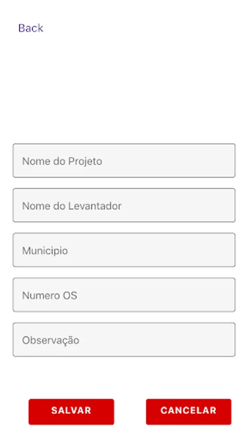
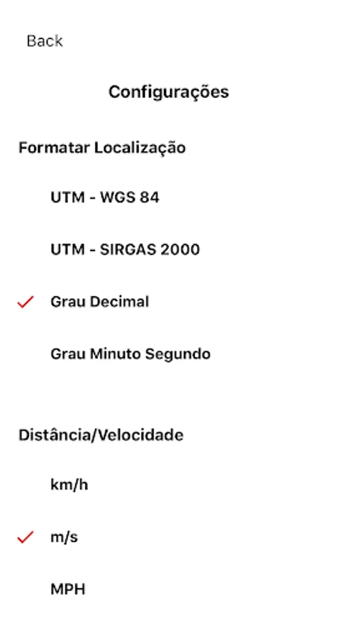
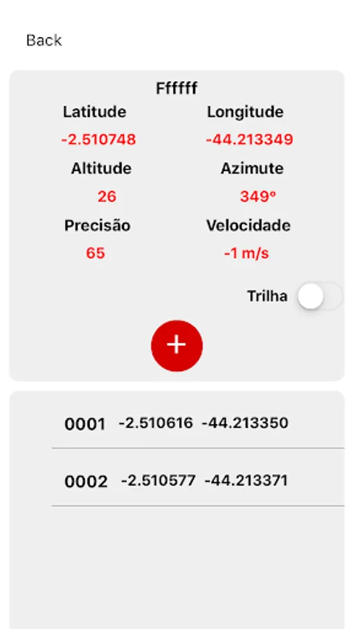
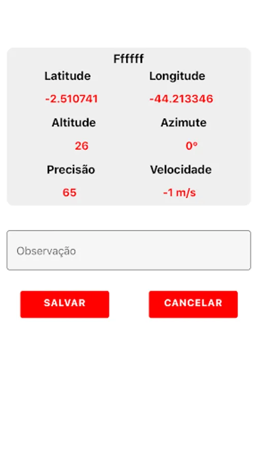
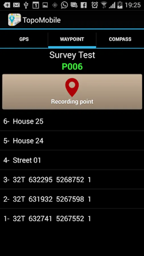
The Topography APP is an excellent application for georeferencing or land surveying, design of electrical networks, avenues, streets, subdivisions and studies in general.
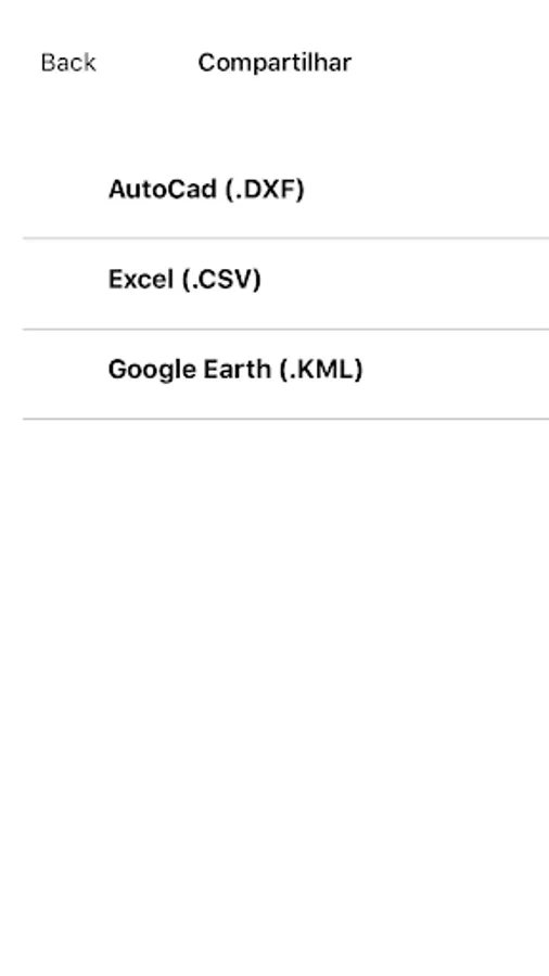
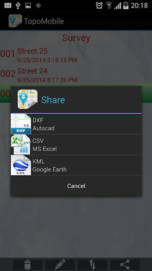
Export your surveys to DXF (Autocad), KML (Google Earth), CSV (MS Excel) without the slightest difficulty and the possibility of transmission by email of their withdrawals directly from the field to the office.
In the Professional version you can mark up to 5000 points for surveys.
Export your surveys to DXF (Autocad), KML (Google Earth), CSV (MS Excel) without the slightest difficulty and the possibility of transmission by email of their withdrawals directly from the field to the office.
In the Professional version you can mark up to 5000 points for surveys.