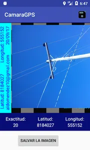
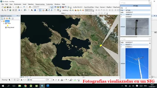
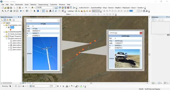
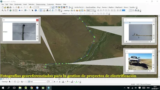
The application lets you take pictures tagged with the location of the mobile device, ie the coordinates of the location for later viewing on a Geographic Information System (GIS). The settling time of the location is based on the characteristics of the mobile device.
Requirements.
The application user should know topics:
1. Survey information
2. Geographic Information Systems
3. Global Positioning System
.
Requirements.
The application user should know topics:
1. Survey information
2. Geographic Information Systems
3. Global Positioning System
.
Show More