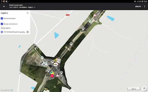
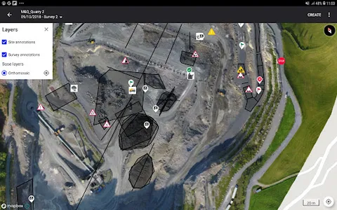
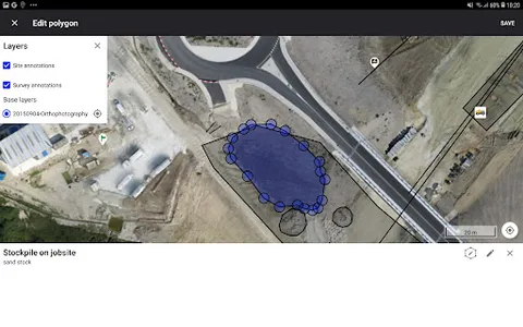
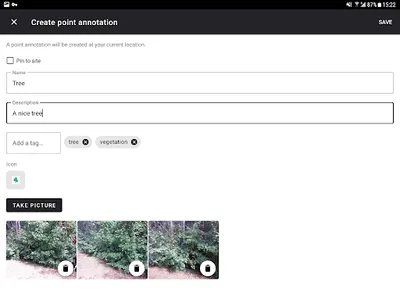
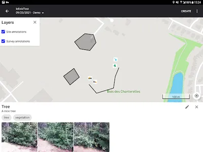
- Load custom satellite maps (like RGB and NDVI orthophoto) and your operation layers that best support your field monitoring.
- Track changes and evolutions for your sites collecting pictures and creating new geo-referenced notes.
- Store the updates directly in the cloud.
- Available for mobile phones and tablets.
- Track changes and evolutions for your sites collecting pictures and creating new geo-referenced notes.
- Store the updates directly in the cloud.
- Available for mobile phones and tablets.
Show More