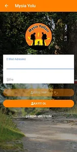
Via Eurasia application includes the following routes;
- St. Paul Trail (St. Paul Trail)
- Phrygian Way (Phrygian Way)
- Evliya Çelebi Way (Evliya Çelebi Way)
- Mysia Ways (Mysia Way)
- Way of Tolerance (Bithynia Way)
- Sultanlar Yolu (Sultan's Trail)
- Egnatia Road (Via Egnatia)
Features of Our Application;
* After downloading the map of the route you have selected, you can use the application without needing an internet connection in the field.
* With 15x zoomable map, do not miss the important terrain details around you.
* Don't lose your way. GPS trackers follow you and leave a trail along the path you walk.
* Optionally, you can track your location with a much higher sensitivity in environments such as forest and canyon in the use of high sensitivity GPS.
* Plan your walk in advance. You can prepare for your needs by examining the draft map, length, short description text and altitude profile of each route before the trip.
* With the map specially designed for hiking, details such as altitude, slope shadow and forest trails provide safe walking.
* You can filter the list of comprehensive points of interest according to your needs or you can easily find the nearest point to you. The visual and description of each point accompanies you throughout the journey.
* You can make a reservation in advance by accessing the contact information of the accommodation from the list of points of interest.
* Before traveling, the menu provides you with the most up-to-date information about the weather, guide books & maps, and recent route changes.
Show More


