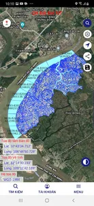
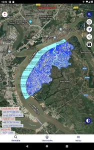
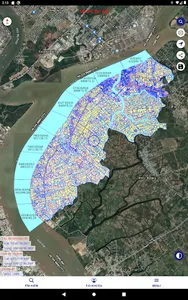
Application View online map information, offline maps, set up coordinate reference systems, Convert coordinates, measure, view red book information, provide digital maps, cadastral maps, and maps. land use planning map, land use plan, detailed construction plan ... on the basis of Geographic Information System (GIS) technology, allowing users to locate a parcel of land through another function: search by map sheet number ...
- Calculate area and distance
- Fully support VN2000 projection systems of localities and the country in Vietnam
- Properties can be imported from any other project or device
- Image surveys for any of the locations available, with multiple export options
- Import different file formats for data are CSV, KML and GeoJSON, shp
- Survey on Offline Maps (Autocad, Microstation, Shp, GeoJSON, KML, Kmz)
- Share screen results through social networking applications such as Facebook, Zalo, Gmail
- Import layers of points, lines and polygons in TXT, XLS, CSV, KML or GeoJSON files
- The ability to view multiple map layers including points, lines and polygons at the same time
- Create the area, calculate the area from the set of points
- Export in TXT, CSV, XLS formats
Show More