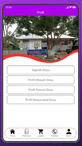
Equator Village is a village located in the South Tinombo sub-district, Parigi Moutong Regency, which was officially expanded by the Regency Government in 2007 under the name Equator. The granting of the Equator is based on geographically the village is located on the Earth's Ecuator line, as well as the existence of a monument which made as a sign of the Equator Spot.
Originally this village was in the northern part of Siney Village, which was a hamlet area which at that time was hamlet I (Bambanipa) and hamlet V (Longsung). From the area of the two hamlets a village was formed which was named KHATULISTIWA.
The forerunner of the Equator Village contained in the Dutch colonial era was Kasumba Village (colored). At that time, Kasumba already had a government structure formed by the Dutch Colonial, with the present area covering Siney and parts of Maninili and Tada. At that time the center of the Kasumba village was about ± 1 km from the current Equatorial government center and was still in the form of a Boya (hamlet) which was separated from other Boya-boya. The head of the village at that time was named Abu Bakar, who was usually called Baka. He is a nomad who came from Tawaeli, and led the village until the end of his life. After the death of Abu Bakar, the name Kasumba slowly disappeared in the midst of the times, along with the emergence of other Boya Boya leaders who were previously the Kasumba village area.
Show More


