About Satellite View: GPS Map Camera
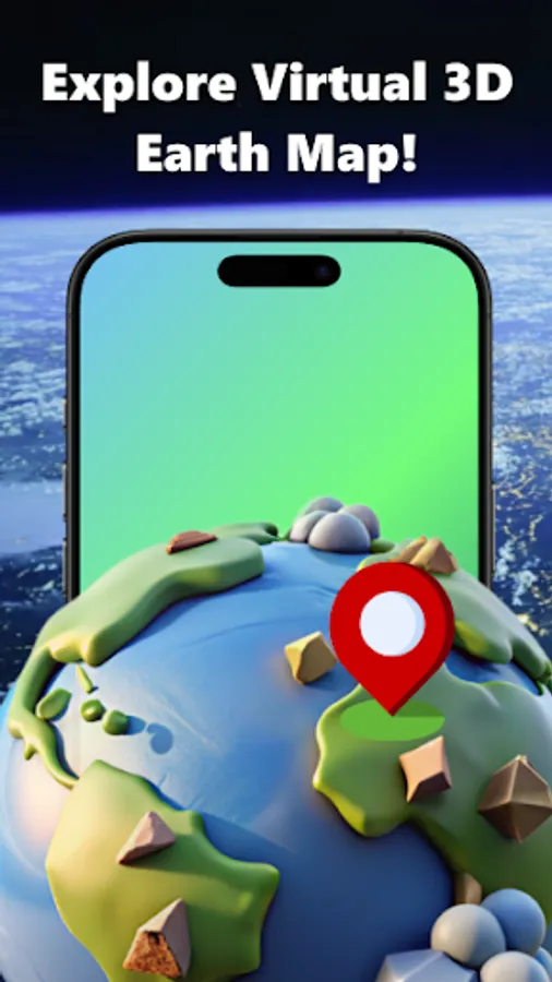
Do you love exploring the globe, finding new landmarks, or keeping track of your trips? With our live earth map, you can discover the planet in a completely new way. Experience a realistic 3D earth model that makes you feel like you are traveling across different countries from home.
Whether you want to zoom earth to see your neighborhood or use the worldview to see the big picture, this hd satellite map provides a smooth, clear sky view. Stay connected with zoom earth app features that bring a comprehensive world atlas to your fingertips.
🌍 KEY FEATURES:
HD Satellite View & 3D Earth: Explore cities, mountains, and oceans through a detailed 3D world map. Using nasa live satellite maps technology, you can enjoy a satellite map with stunning clarity. Switch to map satellite live to see our planet in real-time.
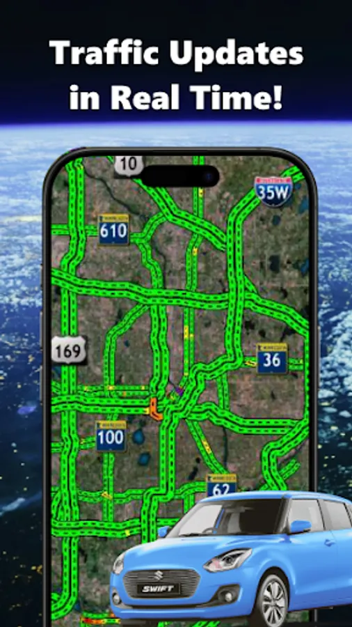
Street View & Navigation: Get a realistic map view street experience. Use the gps satellite map to find driving directions and stay informed with live traffic updates. Our immersive street view ensures you never miss a turn or a hidden gem.
Atlas Earth Zoom Earth Live Satellite: Navigate like a professional with a comprehensive view satellite map. Rotate, zoom, and interact with a 3D satellite map live to discover global landmarks or plan your next vacation route.
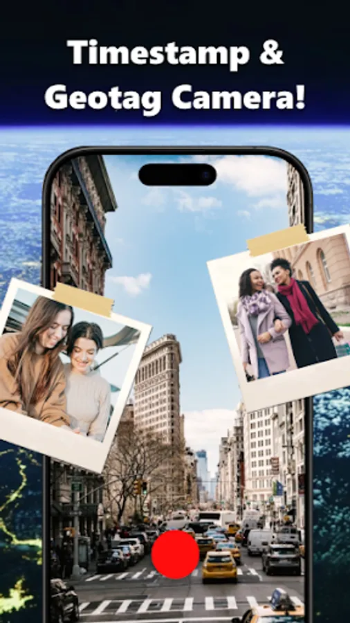
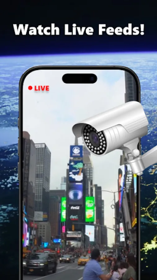
Share Location & Live Earth Camera: Easily share your exact position. The live earth cam updates your latitude, longitude, and address, making it the perfect satellite view tool for staying connected with friends and family.
Smart Travel Tools:
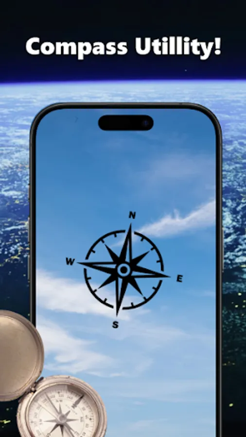
Compass: Find your direction using the 3D live map integrated digital compass.
Speedometer: Track your speed in real-time while navigating with map satellite technology.
My Tracks: Log your travel history, including speed, duration, and distance.
📍 EXPLORE THE WORLD:
Discover nearby restaurants, hotels, and shops on a 3D satellite map live.
Visit the seven wonders of the world with an earth HD interface.
Explore famous landmarks using the extensive world atlas database.
Try Satellite View: GPS Map Camera today. It is the ultimate 3D earth map and worldview tool designed to help you travel anywhere, anytime—all in the palm of your hand.
Whether you want to zoom earth to see your neighborhood or use the worldview to see the big picture, this hd satellite map provides a smooth, clear sky view. Stay connected with zoom earth app features that bring a comprehensive world atlas to your fingertips.
🌍 KEY FEATURES:
HD Satellite View & 3D Earth: Explore cities, mountains, and oceans through a detailed 3D world map. Using nasa live satellite maps technology, you can enjoy a satellite map with stunning clarity. Switch to map satellite live to see our planet in real-time.
Street View & Navigation: Get a realistic map view street experience. Use the gps satellite map to find driving directions and stay informed with live traffic updates. Our immersive street view ensures you never miss a turn or a hidden gem.
Atlas Earth Zoom Earth Live Satellite: Navigate like a professional with a comprehensive view satellite map. Rotate, zoom, and interact with a 3D satellite map live to discover global landmarks or plan your next vacation route.
Share Location & Live Earth Camera: Easily share your exact position. The live earth cam updates your latitude, longitude, and address, making it the perfect satellite view tool for staying connected with friends and family.
Smart Travel Tools:
Compass: Find your direction using the 3D live map integrated digital compass.
Speedometer: Track your speed in real-time while navigating with map satellite technology.
My Tracks: Log your travel history, including speed, duration, and distance.
📍 EXPLORE THE WORLD:
Discover nearby restaurants, hotels, and shops on a 3D satellite map live.
Visit the seven wonders of the world with an earth HD interface.
Explore famous landmarks using the extensive world atlas database.
Try Satellite View: GPS Map Camera today. It is the ultimate 3D earth map and worldview tool designed to help you travel anywhere, anytime—all in the palm of your hand.