The purpose of this application is to inform nature users (walking, jogging, cycling, picking, etc.) about hunting days and areas which may or may not be hunted.
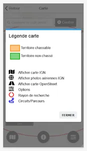
By indicating the date and the position that interest you (municipality or GPS position), you will obtain a map of huntable and non-hunted territories.
The displayed territory can include areas located within a radius of 5, 10 or 15km around the chosen position.
By indicating the date and the position that interest you (municipality or GPS position), you will obtain a map of huntable and non-hunted territories.
The displayed territory can include areas located within a radius of 5, 10 or 15km around the chosen position.
Show More


