About GPS Camera Location Maps
Turn your camera into a geo tool with GPS Camera Location Maps. Snap photo or video with GPS, map, and location. Each shot comes with a clear geotag so you can save and share your story anywhere.
🌈 With GPS Camera Location Maps, you can:
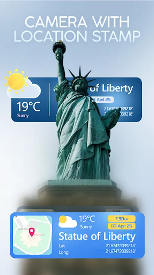
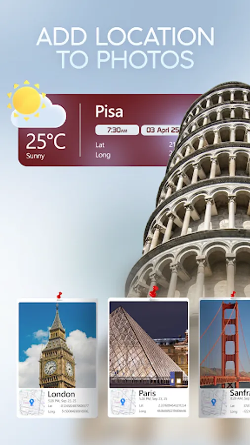
• Camera with gps – take photo with location in real time
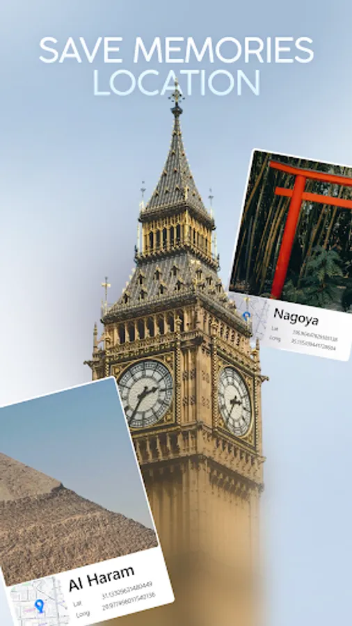
• Geotag photo – auto or manual tag your spot on maps
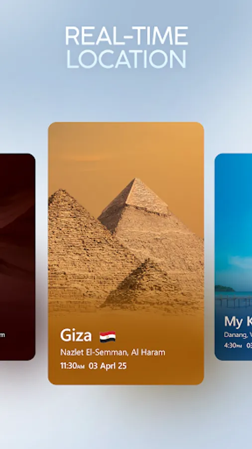
• Map preview – see your photo trail on live map
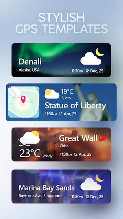
• Customize templates – choose frame, maps type, and text
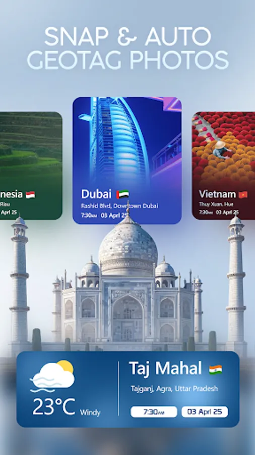
• Organize by geo – group photos with gps and location data
GPS Camera Location Maps works with both image and video, giving you photo with maps and detailed location.
✅ How to Start:
• Open GPS Camera Location Maps and allow gps access
• Use camera with maps to capture photo or video
• Pick a template to customize frame, map, and text
• Save your geotag photo or view it on map
Download GPS Camera Location Maps now to capture every moment with gps, map, and location. Make your gallery smarter with each geotag photo.
🌈 With GPS Camera Location Maps, you can:
• Camera with gps – take photo with location in real time
• Geotag photo – auto or manual tag your spot on maps
• Map preview – see your photo trail on live map
• Customize templates – choose frame, maps type, and text
• Organize by geo – group photos with gps and location data
GPS Camera Location Maps works with both image and video, giving you photo with maps and detailed location.
✅ How to Start:
• Open GPS Camera Location Maps and allow gps access
• Use camera with maps to capture photo or video
• Pick a template to customize frame, map, and text
• Save your geotag photo or view it on map
Download GPS Camera Location Maps now to capture every moment with gps, map, and location. Make your gallery smarter with each geotag photo.