With this mapping app, you can save and organize coordinates using folders, view real-time location data, and share locations with others. Includes real-time coordinate display, location sharing, and social mapping features.
AppRecs review analysis
AppRecs rating 4.5. Trustworthiness 0 out of 100. Review manipulation risk 0 out of 100. Based on a review sample analyzed.
★★★★☆
4.5
AppRecs Rating
Ratings breakdown
5 star
92%
4 star
8%
3 star
0%
2 star
0%
1 star
0%
What to know
✓
High user satisfaction
92% of sampled ratings are 5 stars
About myXY
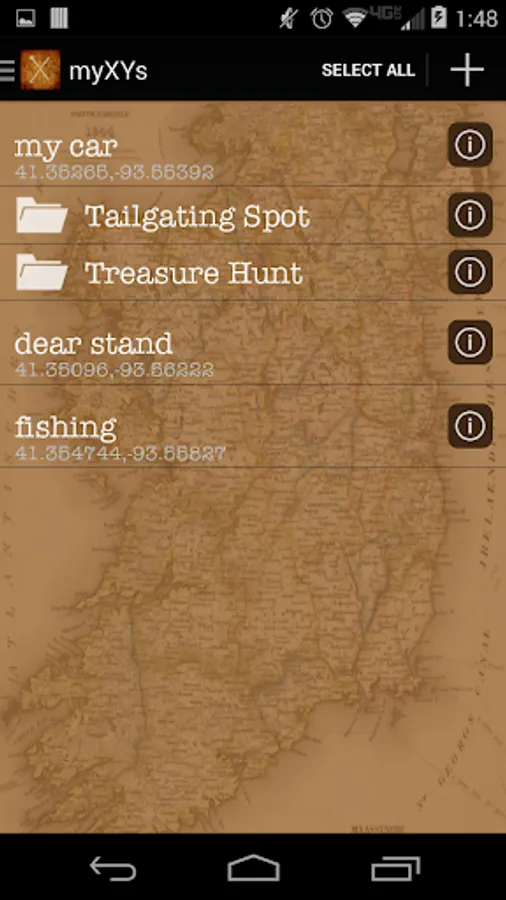
myXY is a fun and useful mapping app that allows you to keep a collection of coordinates (XY’s) and organize them into folders for later use. myXY can help you find your way back to your car, favorite picnic spot, fishing hole, or that cash you set aside for a rainy day.
You can do anything with myXY, the only limit is yourself. How will you use myXY?
Key features include:
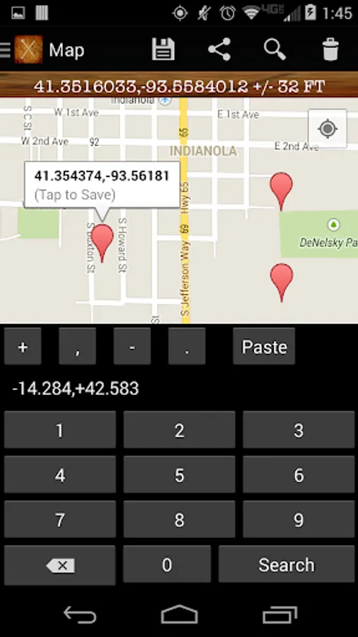
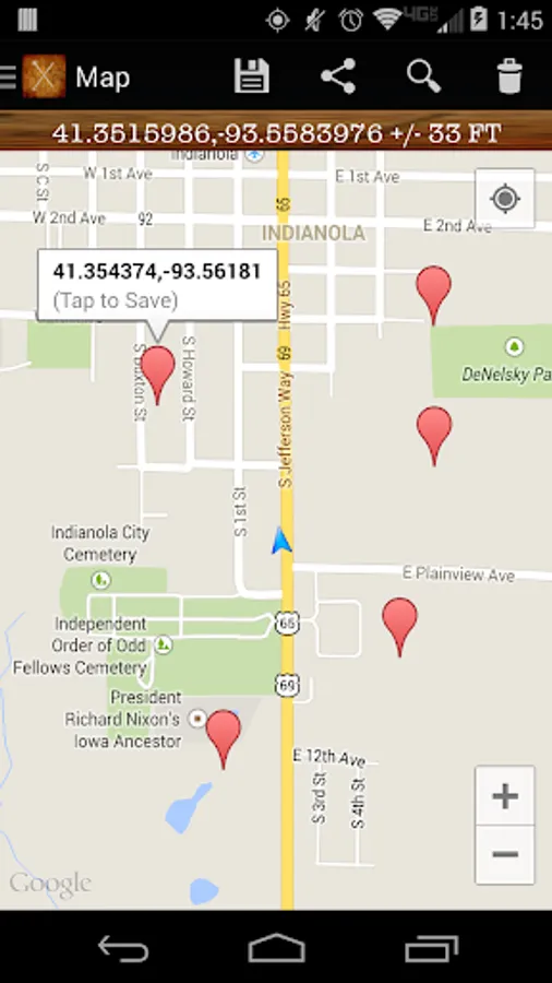
1. See your current XY, Altitude and accuracy of the reading real time.
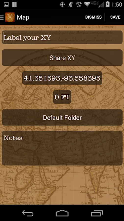
2. Save any XY, even if you haven't been there, by simply long-pressing on the map. Good for plotting tomorrow’s fishing stops or hiking destinations.
3. Be social. Map all your XY's at once and share your day’s adventures with your friends or the world via Facebook,Twitter, email, or save a screen shot to share as you please.
4. Explore by searching for XY's with latitude and longitude (premium upgrade required).
5. Share your XY with other myXY users to find an exact location. (premium upgrade required).
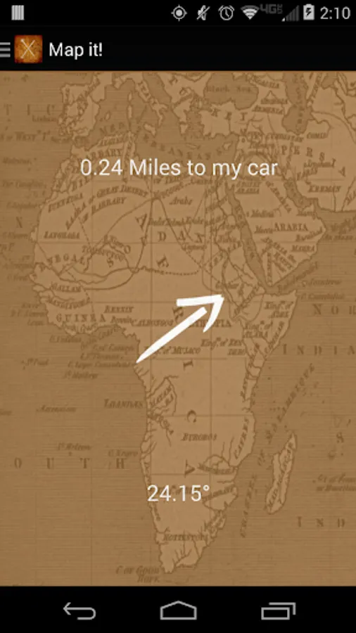
6. Navigate back to an XY with driving, pedestrian, or off-road navigation for compass-like directions always pointing to your saved XY (premium upgrade required).
You can do anything with myXY, the only limit is yourself. How will you use myXY?
Key features include:
1. See your current XY, Altitude and accuracy of the reading real time.
2. Save any XY, even if you haven't been there, by simply long-pressing on the map. Good for plotting tomorrow’s fishing stops or hiking destinations.
3. Be social. Map all your XY's at once and share your day’s adventures with your friends or the world via Facebook,Twitter, email, or save a screen shot to share as you please.
4. Explore by searching for XY's with latitude and longitude (premium upgrade required).
5. Share your XY with other myXY users to find an exact location. (premium upgrade required).
6. Navigate back to an XY with driving, pedestrian, or off-road navigation for compass-like directions always pointing to your saved XY (premium upgrade required).