MVV-Radroutenplaner
Münchner Verkehrs- und Tarifverbund GmbH (MVV)
10,000+
downloads
Free
AppRecs review analysis
AppRecs rating . Trustworthiness 58 out of 100. Review manipulation risk 34 out of 100. Based on a review sample analyzed.
★
AppRecs Rating
Ratings breakdown
5 star
0%
4 star
0%
3 star
40%
2 star
0%
1 star
60%
What to know
⚠
Mixed user feedback
Average 1.8★ rating suggests room for improvement
About MVV-Radroutenplaner
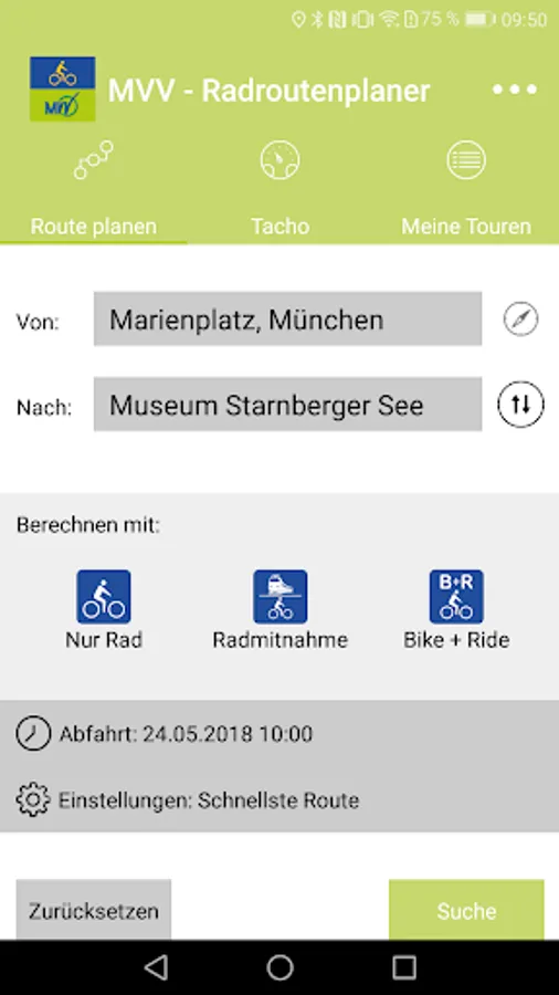
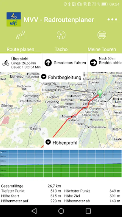
The Munich public transport (MVV) and the City of Munich provide you with the MVV Radroutenplaner coverage throughout the MVV composite space an individual wheel-route navigation in conjunction with public transport (bike and ride, bicycles or pure cycling).
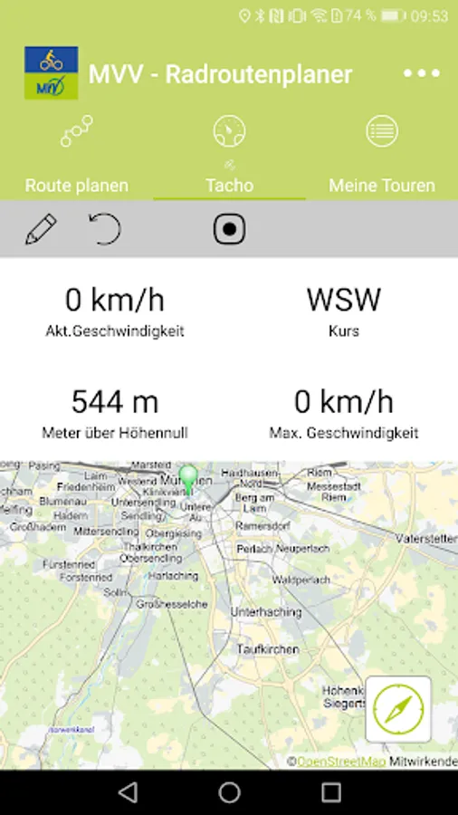
In MVV Radroutenplaner making various drive settings: You can adjust the average speed, prefer special trail character for your individual needs (mountain bike, road bike, ...) or avoid inclines. The integrated drive monitoring warns in combination with GPS on request, if you leave the calculated route.
You can also choose between three routing options:
* Fastest Route: The fastest, not necessarily the shortest route is calculated.
* Green Route: The route - if possible - along green spaces and parks.
* Family route: Explicitly designated bike lanes are preferred.
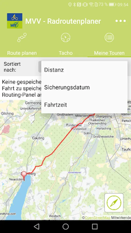
The selected route enable them to view the interactive map, saved or shared with third parties.
Please note that for various functions (identify the location, travel escort, tachometer and Track function, navigation, etc.) the app to your smartphone's GPS must be activated. This can shorten the battery life of your mobile device noticeably.
We hope you enjoy cycling in the beautiful MVV composite room!
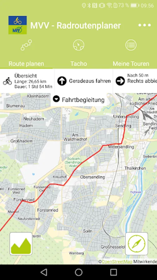
MVV-Radroutenplaner Screenshots
Tap to Rate:
Reviews for MVV-Radroutenplaner
s marz
7/22/2022
Used to work really well, but has now stopped functioning. After typing in the route query, it just circles, never gets a result. Re-installation didn't fix that. I only keep it because i like the map.
A Google user
9/23/2018
Gute Idee aber ausbaufähig. Oft sind Routen umständlich und unlogisch. Ich suche eine grüne Route und mir werden lauter Hauptstraßen vorgeschlagen. Die schnellste Route ist auch oft nicht die Schnellste. Die Karte dreht sich nicht mit beim navigieren. Eine Option Hauptstraßen auszuschalten wäre toll. Das darf dann auch ruhig länger dauern. Bis dahin bleib ich bei Google maps bzw. Falk...