Water Maps
Innoventiq Solutions
Free
5,000+
downloads
About Water Maps
The goals of this application are
• Help users find the nearest source of irrigation water and display its management information.
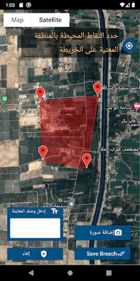
• Show waterway data where the user is standing.
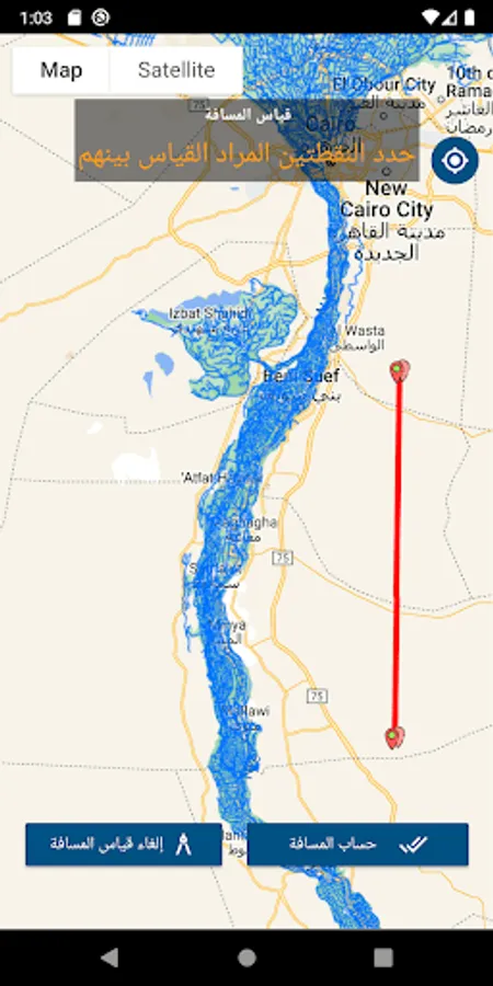
• Determine the kilometer location on the watercourse for any specific point
• Display of the geographic coordinates of where the user is standing.
• View on the background of satellite images or background Google Maps methods of its services.
• Sharing coordinates via WhatsApp
In general, this application helps users by showing their locations around the areas of water networks, canals and water sources in order to help them reach the nearest water and sewage source to them to save every drop of water and avoid road loss and accidents.
• Help users find the nearest source of irrigation water and display its management information.
• Show waterway data where the user is standing.
• Determine the kilometer location on the watercourse for any specific point
• Display of the geographic coordinates of where the user is standing.
• View on the background of satellite images or background Google Maps methods of its services.
• Sharing coordinates via WhatsApp
In general, this application helps users by showing their locations around the areas of water networks, canals and water sources in order to help them reach the nearest water and sewage source to them to save every drop of water and avoid road loss and accidents.