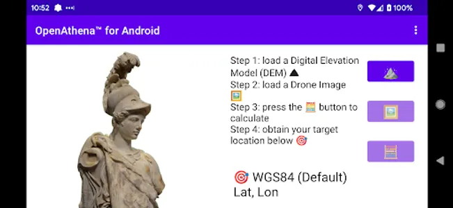
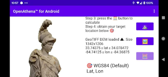
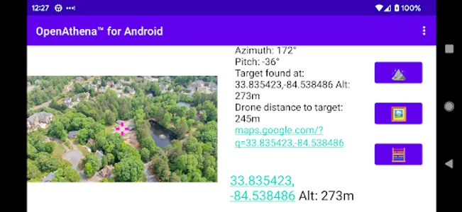
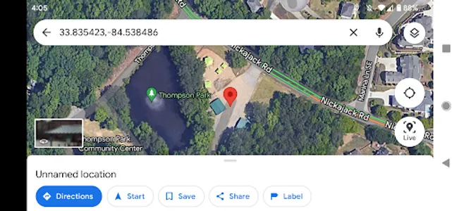
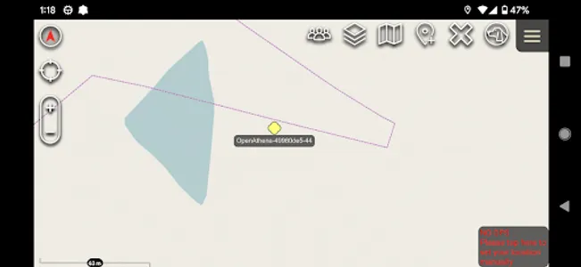
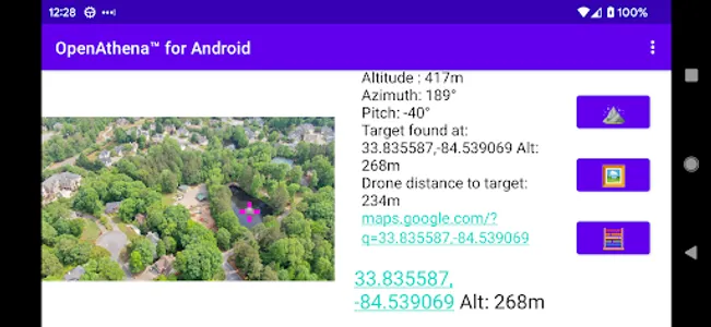
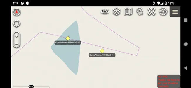
OpenAthena™ is a project which allows common drones to spot precise locations with their images. This is accomplished by combining the sensor metadata (embedded within images) with an offline-ready Digital Elevation Model to provide the instant location of any selected point.
🖼️👨💻 + 🧮⛰️ = 🎯📍
This software is an Alpha version, designed for early-adopters.
Please see https://OpenAthena.com for more information.
For instructions on how to obtain a Digital Elevation Model GeoTIFF file needed for OpenAthena, use this link:
https://github.com/mkrupczak3/OpenAthena/blob/main/EIO_fetch_geotiff_example.md
THERE IS NO WARRANTY FOR THE PROGRAM, TO THE EXTENT PERMITTED BY APPLICABLE LAW. THE PROGRAM IS PROVIDED “AS IS” WITHOUT WARRANTY OF ANY KIND, EITHER EXPRESSED OR IMPLIED
Show More