Powder Project
Adventure Projects
4.0 ★
56 ratings
10,000+
downloads
Free
With this navigation app, you can explore ski lines using GPS routes, elevation profiles, and offline maps. Includes detailed trail maps, photos, and GPS tracking features.
AppRecs review analysis
AppRecs rating 3.9. Trustworthiness 65 out of 100. Review manipulation risk 29 out of 100. Based on a review sample analyzed.
★★★☆☆
3.9
AppRecs Rating
Ratings breakdown
5 star
55%
4 star
22%
3 star
10%
2 star
8%
1 star
6%
What to know
✓
Low review manipulation risk
29% review manipulation risk
✓
High user satisfaction
76% of sampled ratings are 4+ stars (4.0★ average)
✓
Authentic reviews
Natural distribution, no red flags
About Powder Project
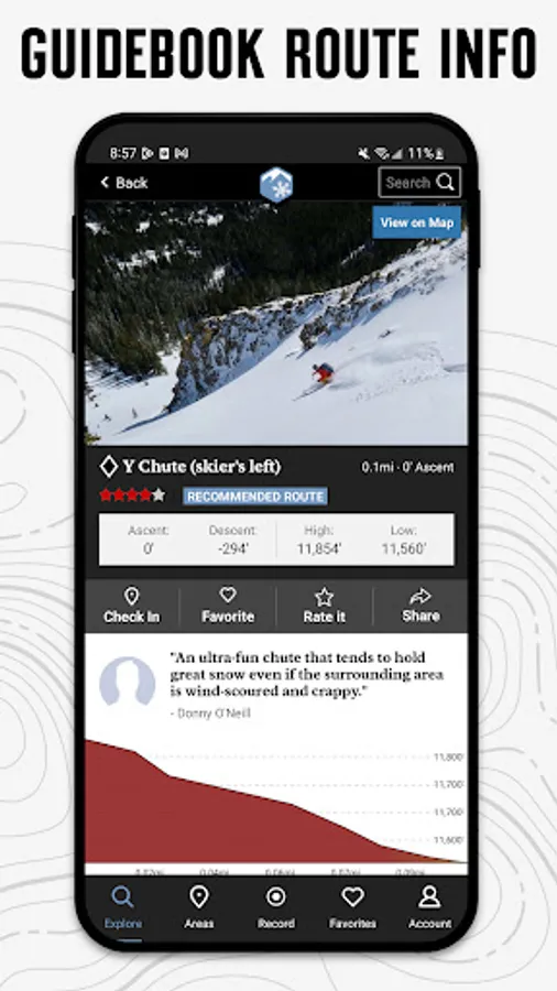
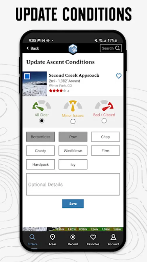
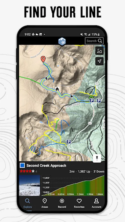
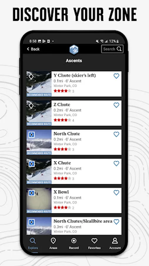
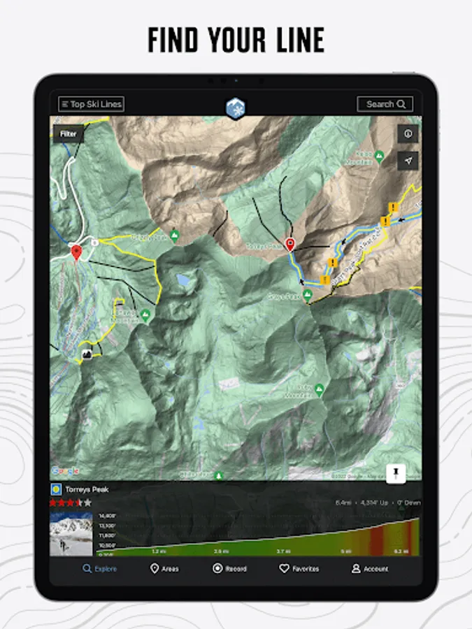
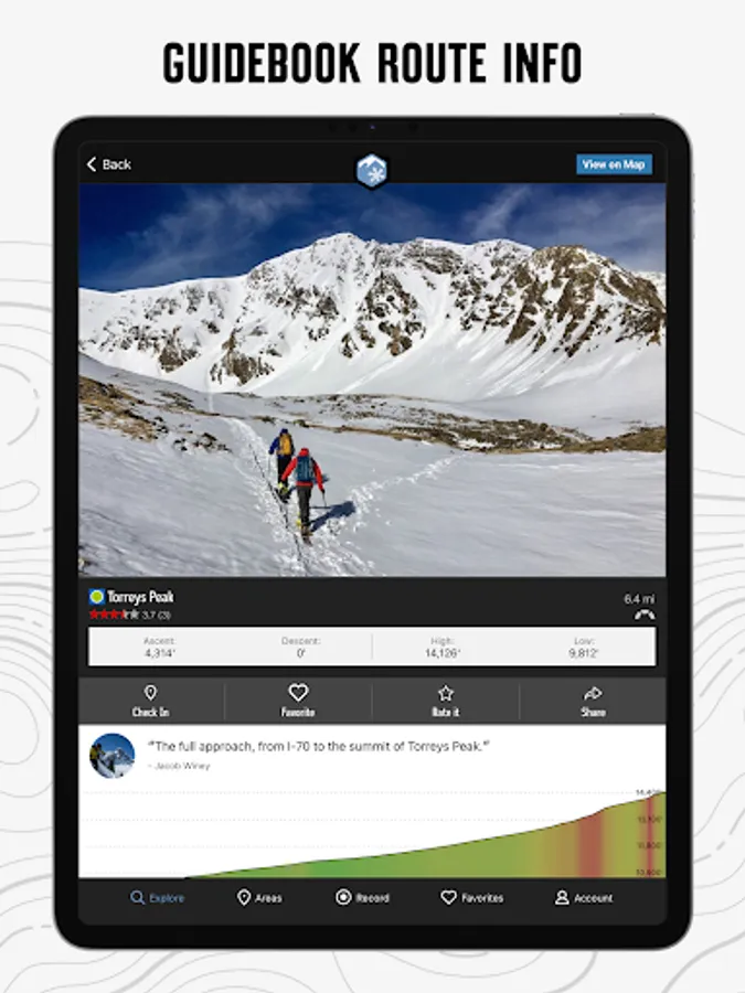
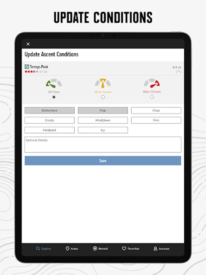
With the thoroughness of a printed map, we offer full GPS route info, elevation profiles, interactive features, photos, and more. Like a guidebook, we suggest the best featured ski lines to explore—either near your current location or in an area you search for. Local experts show you the highlights, challenging features, and insights you need to plan a great day in the snow.
• Find over 800 miles of backcountry, sidecountry, and secret stashes.
• New lines are constantly added to our incredibly detailed ski ascent and descent trail database.
• Your exact location is shown on the trail.
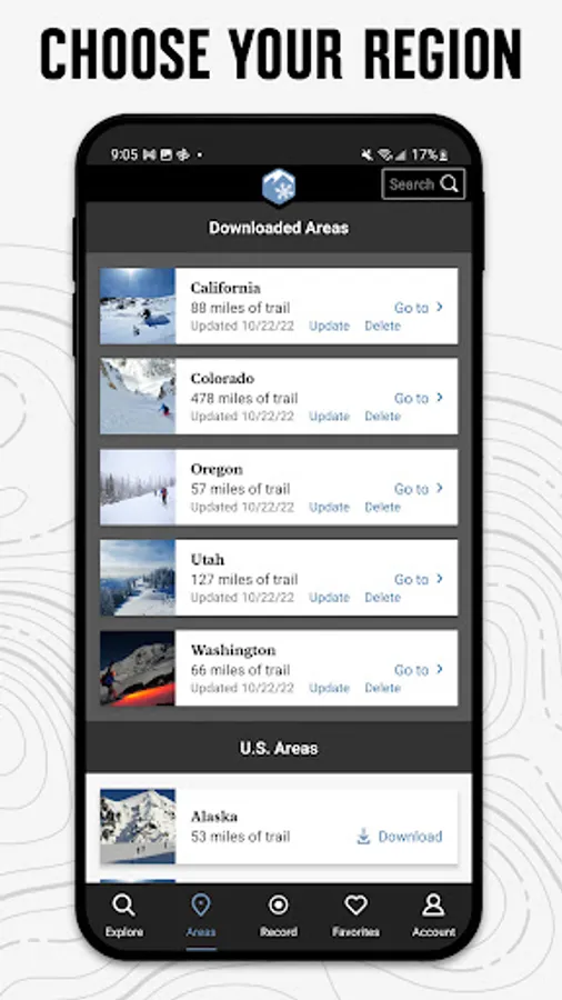
• Downloaded trails work offline for when you’re off the grid. (No cell reception required!)
• Enjoy high-resolution photos and detailed topographical trail maps.
• We’ll sync with your to-do list and check-ins on PowderProject.com.
Continued use of GPS running in the background can dramatically decrease battery life.
Links:
• Privacy Policy: https://www.adventureprojects.net/ap-privacy
• Terms of Service: https://www.adventureprojects.net/ap-terms
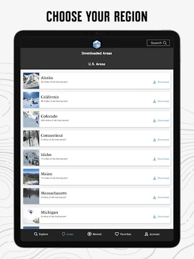
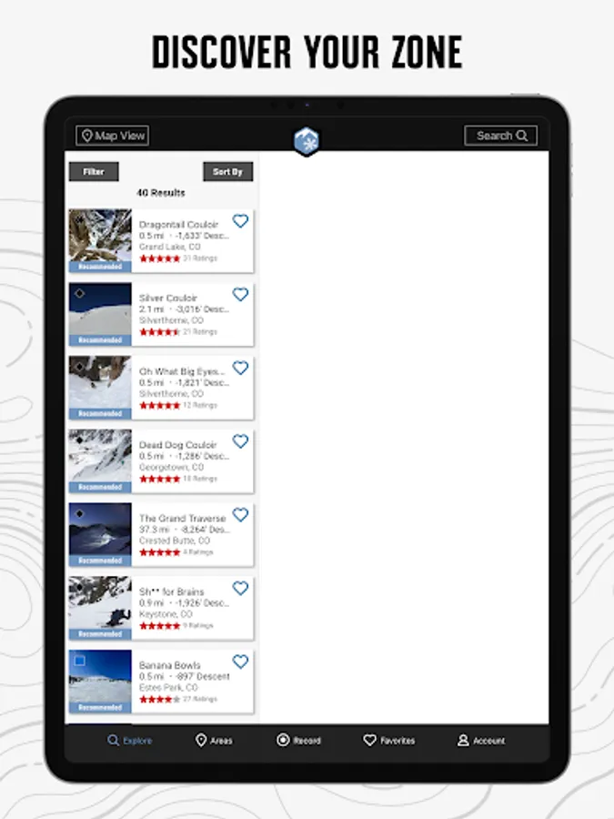
Powder Project Screenshots


Tap to Rate:
Reviews for Powder Project
Josh Noe
2/9/2025
Not sure why anyone would use this over Gaia or Caltopo. This app is completely paywalled and has far fewer features than other routefinding apps. Routes were added by community, not the company, and those are now inaccessible without paying.
Julian Mehnle
1/13/2025
Great app to find backcountry ski lines. Unfortunately the selection of routes is still a bit limited. Hopefully more people will contribute their favorite lines.