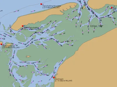
Dynamic flow atlas of the Wadden Sea with selection start and target ports, suitable for mobile and tablet. Published under license from the British Navy (Dutch navy also uses these cards). No download of an application with a very high MB content, but each time quickly and easily bringing in maps, calculated from high respectively. low water. All ports on the mudflats have Internet facilities.
Further define applications and websites for pleasure. A pre-filled with self-selection
Further define applications and websites for pleasure. A pre-filled with self-selection
Show More