PTM
Trung tâm mạng lưới Mobifone Miền Nam
Free
10+
downloads
About PTM
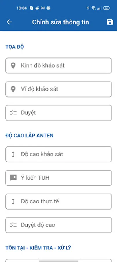
PTM is an application that helps station surveyors and station reviewers to:
- Go to the field survey and take pictures.
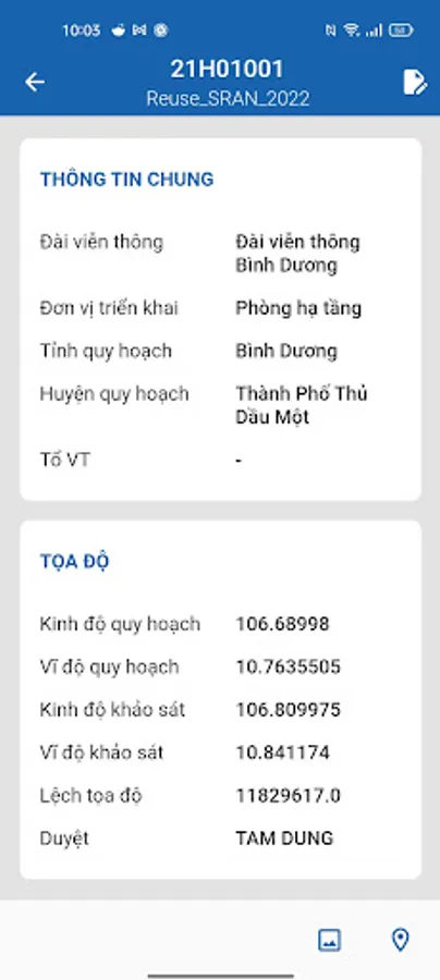
- When taking a photo, the application can automatically get the coordinates and shooting time.
- Users can overwrite the image and view the image before saving.
- Users will update the data in the infrastructure module to the decentralized network development system.
- Send email and review on mobile application when users update survey information.
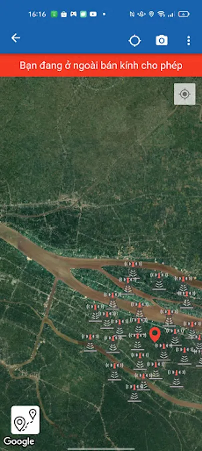
- Display topographic map when clicking on longitude and coordinates.
- Save test photo.
- Save feedback photo.
- Delete test photo.
- Delete feedback photo.
- Upload photos to the network development system
- Automatically get coordinates at shooting and user name
- Go to the field survey and take pictures.
- When taking a photo, the application can automatically get the coordinates and shooting time.
- Users can overwrite the image and view the image before saving.
- Users will update the data in the infrastructure module to the decentralized network development system.
- Send email and review on mobile application when users update survey information.
- Display topographic map when clicking on longitude and coordinates.
- Save test photo.
- Save feedback photo.
- Delete test photo.
- Delete feedback photo.
- Upload photos to the network development system
- Automatically get coordinates at shooting and user name