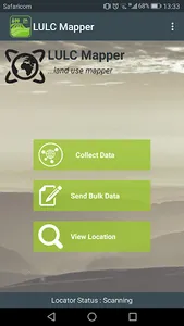
Land Use and Land Cover (LULC) Mapper was built by SERVIR Eastern and Southern Africa, a joint initiative between NASA and USAID, for the collection of spatial information on land use and land cover data for analysis and deeper understanding of their relationships and location. This data will increase efficiency in land cover classification algorithms.
Contact Phoebe (poduor@rcmrd.org), the thematic lead - LULC and GHG Inventories, to be registered.
Contact Phoebe (poduor@rcmrd.org), the thematic lead - LULC and GHG Inventories, to be registered.
Show More