Altimeter tool - altitude app
militangellen
50+
downloads
Free
+ in-app
About Altimeter tool - altitude app
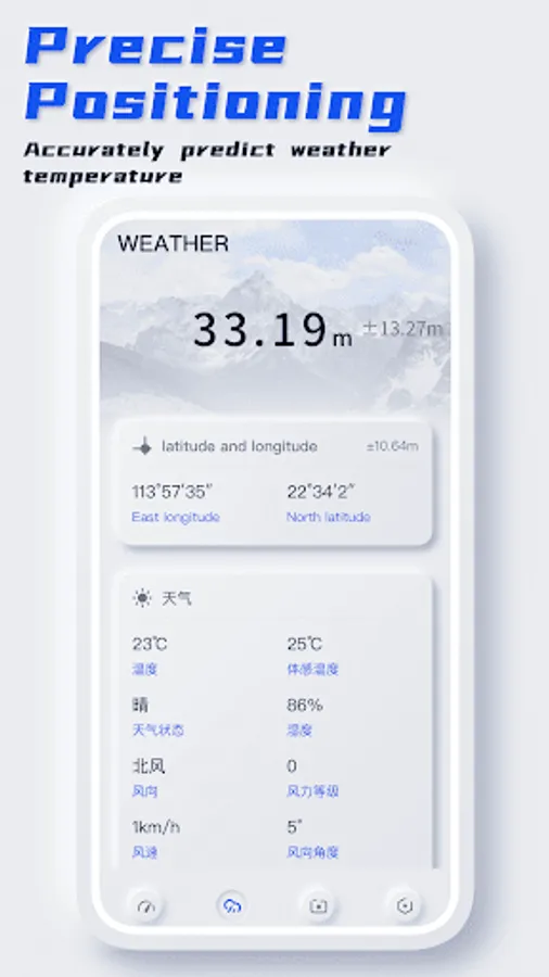
The Altimeter tool - altitude app is a smart tool that can display the current position, altitude and orientation in real time. Hiking or hiking at high altitude can view the current longitude and latitude position, coordinates, current real-time orientation, weather and temperature in real time. It is an indispensable tool for outdoor activities.
Main functions of The Altimeter tool - altitude app:
1. Dashboard: measure the altitude of the location in real time, record the mileage, average speed and other data to help you adjust the climbing speed
2. Weather: support to view the weather and temperature of the current longitude and latitude positioning, predict the wind direction, and better arrange travel
3. Latitude and longitude camera: take photos and add longitude and latitude, altitude, temperature, location, time and other information of the current position to record every trip
The Altimeter tool - altitude app is a good helper for you to survive in hiking, mountaineering and outdoor activities. You can find more practical small functions later!