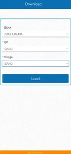
This mobile application to collect GIS and MIS data from the ground and do analysis on GIS and MIS data of beneficiaries. The same will help organization/institution to monitor and Geographical/data analysis on their work status, implementation and results for decision making purpose and team performance monitoring on assigned tasks. Mobile and Web applications of this product will help to collect and analyse the data.
By using this mobile application user can collect following information
Polygons
Ponds/Lakes
House Hold (Parcels/Plots & Building foot print)
Public Toilets, Schools, PHC, Anganwadis, colleges, sub centre, community health centre, post office etc. (Social Infrastructure)
Farm Land
Line
Roads
Highways (NH/SH/DH)
Rivers
Irrigation canals
Village Streets
Drains
Contours
Distribution/Collector network of public network
Points
Tube wells, wells
Public facilities like hand pumps, public taps etc.
Electricity Poles
Telephone Poles & Telecom Towers
Solar towers
Cellular towers
Show More


