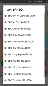
- Support in searching land use planning, land use plan (final period) to 2020; Districts supporting searching: An Phu, Chau Doc, Chau Phu, Chau Thanh, Cho Moi, TP. Long Xuyen, Phu Tan, Tan Chau, Tinh Bien, Thoai Son, Tri Ton.
- Use Mapbox.com basemap technology on published land use plans
- Determine user's current location on land use planning map
- Using 02 coordinate systems of Longitude, Latitude and coordinate system VN2000
- Support map zoom function, rotate Map along North-South axis
- Find and mark current location by name
- Electronic compass (supports only devices with magnetic sensors)
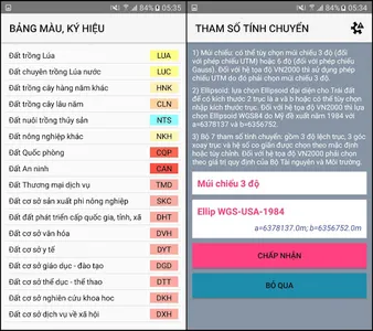
- Support to customize the transfer calculation parameters
- Save and Display points, areas, areas by Objects, Project
- Change colors, hide objects, points in the Project
- Save the free drawn area
- View, Edit, Delete, Find Landmarks
- Function of navigation to objects, save points
- Support to re-draw the survey route from time to time
- Support function of displaying map styles from mapbox.com
- Draw Points, Polygonal Domains; Measure Distance, Calculate Area
- Export point data to .kml .gpx files
- Support importing point data from .gpx file
- Send and exchange data of saved points
- Supports converting tools between coordinate systems
- Use Mapbox.com basemap technology on published land use plans
- Determine user's current location on land use planning map
- Using 02 coordinate systems of Longitude, Latitude and coordinate system VN2000
- Support map zoom function, rotate Map along North-South axis
- Find and mark current location by name
- Electronic compass (supports only devices with magnetic sensors)
- Support to customize the transfer calculation parameters
- Save and Display points, areas, areas by Objects, Project
- Change colors, hide objects, points in the Project
- Save the free drawn area
- View, Edit, Delete, Find Landmarks
- Function of navigation to objects, save points
- Support to re-draw the survey route from time to time
- Support function of displaying map styles from mapbox.com
- Draw Points, Polygonal Domains; Measure Distance, Calculate Area
- Export point data to .kml .gpx files
- Support importing point data from .gpx file
- Send and exchange data of saved points
- Supports converting tools between coordinate systems
Show More