With this asset management and remote monitoring software, you can map, update, and monitor water infrastructure data and asset performance. Includes GIS integration, offline access, photo capture, GPS positioning, and IoT sensor management.
AppRecs review analysis
AppRecs rating 4.5. Trustworthiness 55 out of 100. Review manipulation risk 42 out of 100. Based on a review sample analyzed.
★★★★☆
4.5
AppRecs Rating
Ratings breakdown
5 star
100%
4 star
0%
3 star
0%
2 star
0%
1 star
0%
What to know
⚠
Questionable review patterns
42% review manipulation risk - some review patterns appear unusual
⚠
Unusually uniform ratings
100% of sampled ratings are 5 stars with very little variation
About Trimble Unity
Trimble® Unity Work Management and Remote Monitoring softwares offer a unified cloud-based, GIS-centric and mobile collaboration suite of applications for water, wastewater and stormwater asset and network management. Includes advanced workflows to map, manage, measure and improve asset performance, reduce operations costs, and improve public health and safety
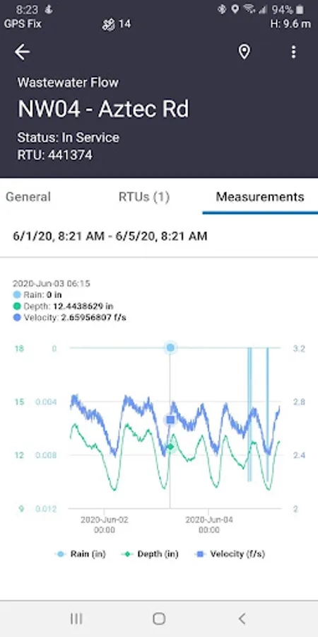
Combined with Trimble’s GNSS, Telog IoT recorders and sensors, and Esri’s GIS technologies, the software offers advanced features to map, locate and assess the performance of critical infrastructure assets, enabling utilities to keep their field infrastructure data up-to-date and accurate, monitor asset operating conditions, manage leak repairs, reduce non-revenue water, deploy and inspect smart meters, lower potential threats to safety and health due to contamination and adhere to regulators’ reporting guidelines and requirements.
• GIS-centric solution, enabling water utility personnel to bring GIS and asset information out to the field
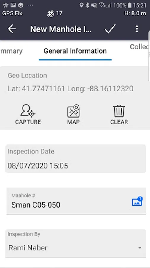
• Eliminates error prone paper and manual data entry
• Operates online and offline with full access to asset data
• Provides seamless flow of data between the field and office
• Provides intelligent data collection forms and workflows using business rules, default values and conditional attributes
• Captures photos and Accurate GPS positions
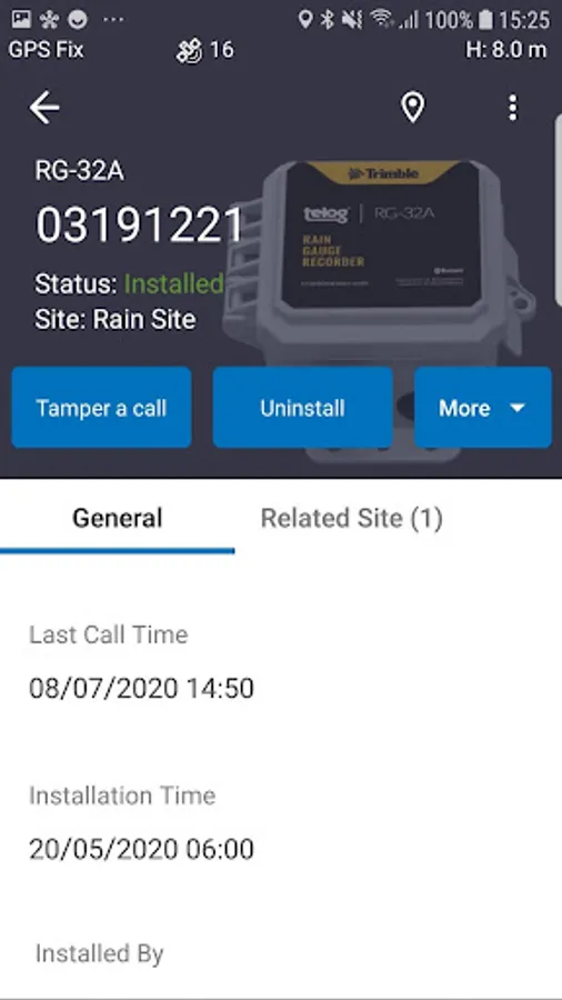
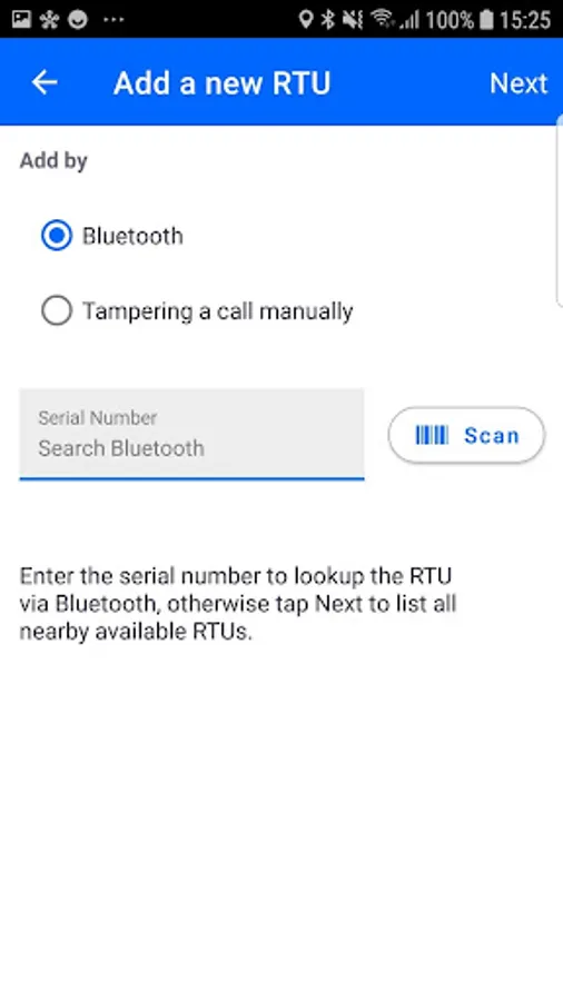
• Deploy and manage Telog IoT recorders and sensors
• View IoT asset performance data in the field during event response.
Combined with Trimble’s GNSS, Telog IoT recorders and sensors, and Esri’s GIS technologies, the software offers advanced features to map, locate and assess the performance of critical infrastructure assets, enabling utilities to keep their field infrastructure data up-to-date and accurate, monitor asset operating conditions, manage leak repairs, reduce non-revenue water, deploy and inspect smart meters, lower potential threats to safety and health due to contamination and adhere to regulators’ reporting guidelines and requirements.
• GIS-centric solution, enabling water utility personnel to bring GIS and asset information out to the field
• Eliminates error prone paper and manual data entry
• Operates online and offline with full access to asset data
• Provides seamless flow of data between the field and office
• Provides intelligent data collection forms and workflows using business rules, default values and conditional attributes
• Captures photos and Accurate GPS positions
• Deploy and manage Telog IoT recorders and sensors
• View IoT asset performance data in the field during event response.
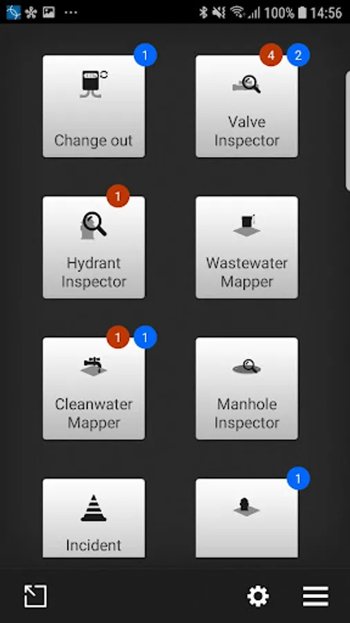
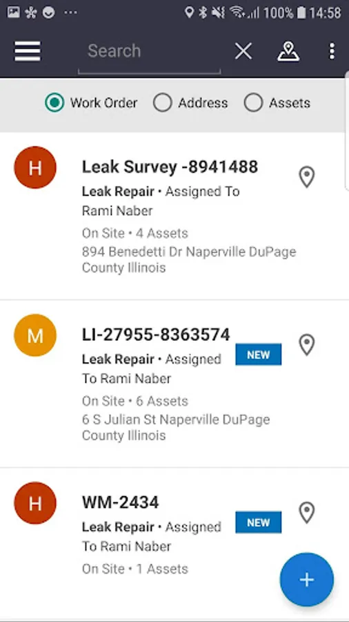
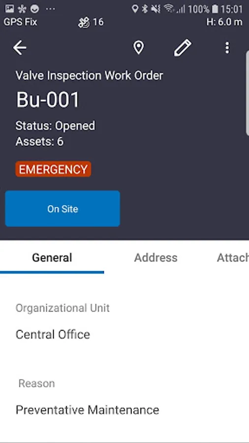
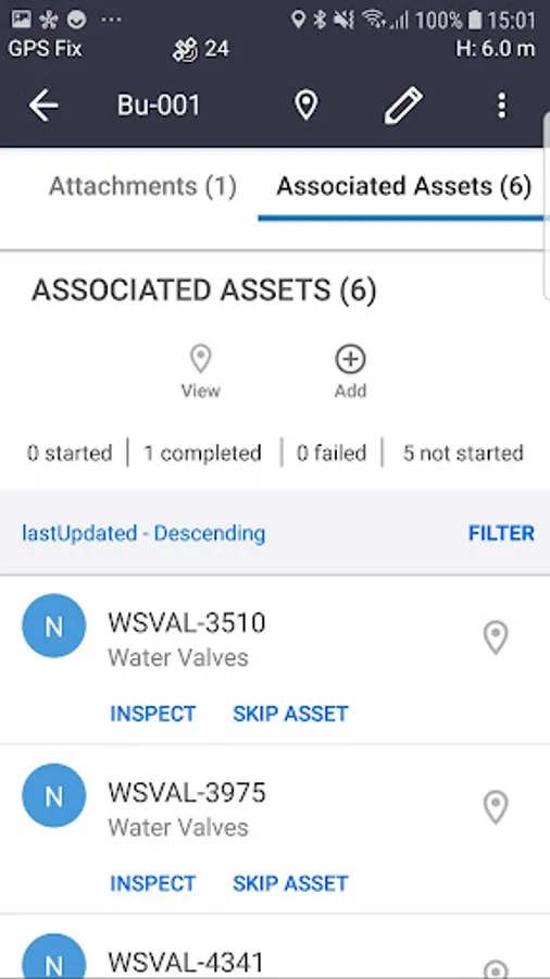
Trimble Unity Screenshots
Tap to Rate:
Reviews for Trimble Unity
Joshua Rooted
9/2/2024
GLO on my face
A Google user
4/4/2017
Good