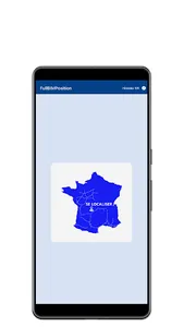
The IrisPosition application is a business application from VINCI Autoroutes - ESCOTA network dedicated to professional uses and not for the use of the public / client, subject to authorization, which deals with the need for geolocation according to the usual Autoroute / PR / Sens mode.
The geolocation according to the usual Highway / PR / Direction mode comes from the reference which is defined according to the knowledge of the PR of the S.I.G. IRIS (Geographic Information System) from ESCOTA.
Offline network
IrisPosition is a fully disconnected GPS application that works in offline mode, no internet connection or mobile network is required. The IrisPosition application natively has knowledge of the PRs of the S.I.G. IRIS according to the 471 km of the A8 - A50 - A51 - A52 - A57 - A500 - A501 and A520 motorways of the ESCOTA network.
Business tool
Strictly limited to professional use and subject to an activation code.
Currently, in the absence of a mobility application, the determination of geolocation in Landmarks (PR) is carried out approximately, sometimes even with positioning errors of several meters.
Note: the PR is materialized on the network by a terminal positioned along the motorway network on the side.
The benefits obtained to determine the position using IrisPosition are of 3 orders:
1) Security
2) Saving time
3) Precision
IrisPosition is a business component that contributes to digital transformation.
Award received at the 2017 VINCI Innovation Prize according to the special prize of the Jury of the Southeast region.
Good Geolocation!
The IrisPosition application requires the activation of your geolocation on a smartphone. For your safety, this app should never be used while driving.
Proposed by Jean-Francois BOIZET
VINCI Autoroutes - ESCOTA network
Show More


