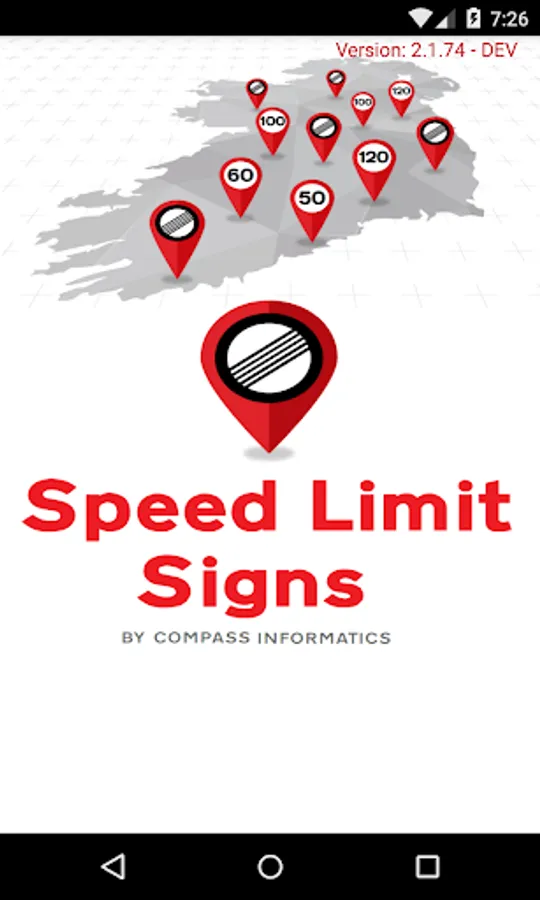
About Speed Limit Signs
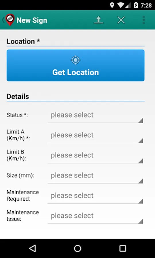
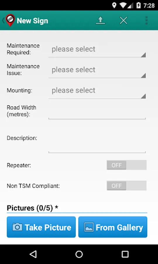
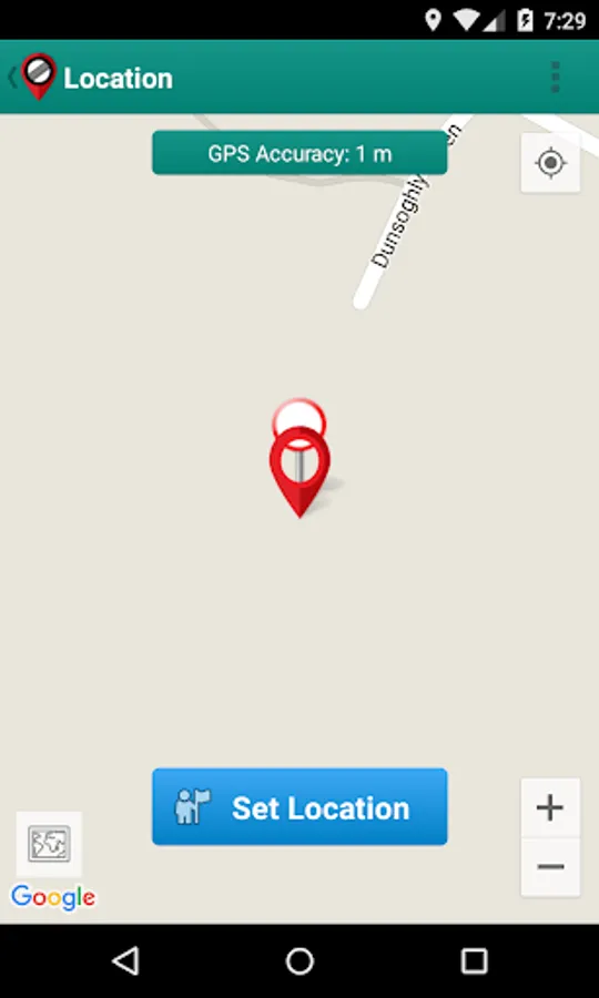
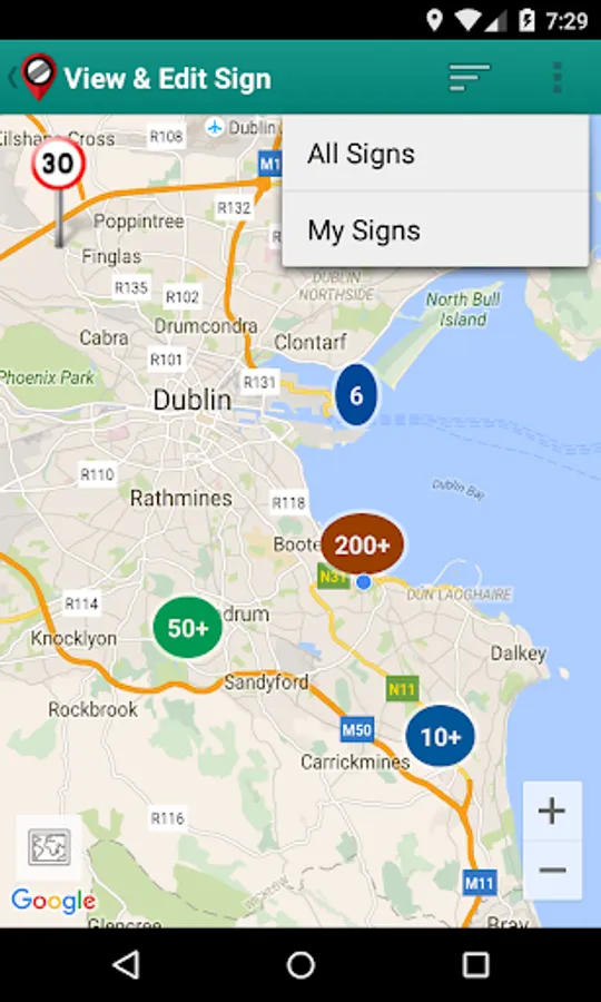
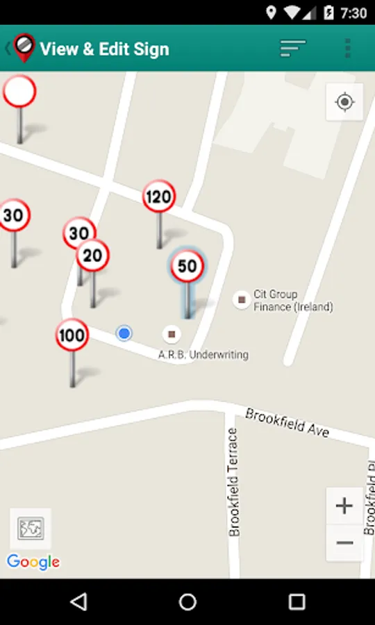
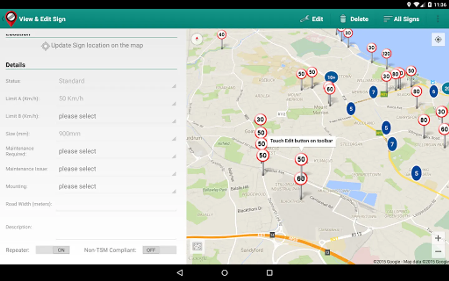
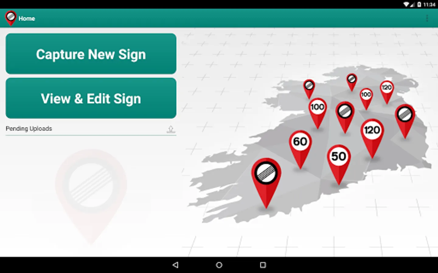
The MapRoad Speed Limits App is used in conjunction with the MapRoad Road Management System for the purpose of recording the location of speed limit signs on the public road network. It uses GPS technology to identify the location of the sign and data entry forms record the attribute and asset inventory data for the sign. This information is uploaded to a centrally hosted road management system. It is made available here for use by local authority staff in the Republic of Ireland.