Bayern in historischen Karten
Bayerische Staatsbibliothek
4.5 ★
237 ratings
10,000+
downloads
Free
In this interactive map app, users can explore historical maps of Bavaria and view points of interest related to cities, castles, and monuments. Includes high-resolution maps, location tracking, and multimedia content about historic sites.
AppRecs review analysis
AppRecs rating 4.5. Trustworthiness 75 out of 100. Review manipulation risk 20 out of 100. Based on a review sample analyzed.
★★★★☆
4.5
AppRecs Rating
Ratings breakdown
5 star
50%
4 star
50%
3 star
0%
2 star
0%
1 star
0%
What to know
✓
Low review manipulation risk
20% review manipulation risk
✓
Credible reviews
75% trustworthiness score from analyzed reviews
✓
High user satisfaction
100% of sampled ratings are 4+ stars (4.5★ average)
About Bayern in historischen Karten
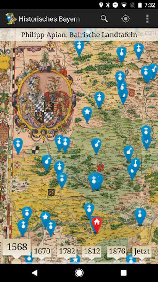
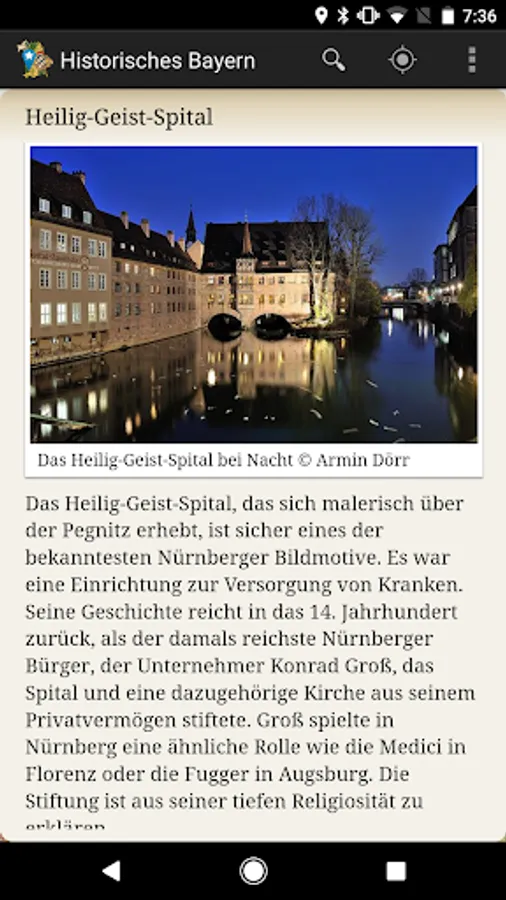
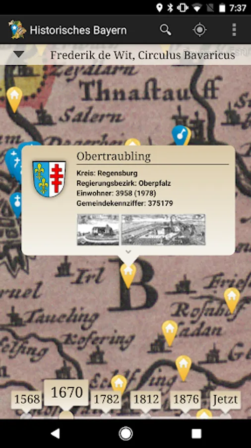
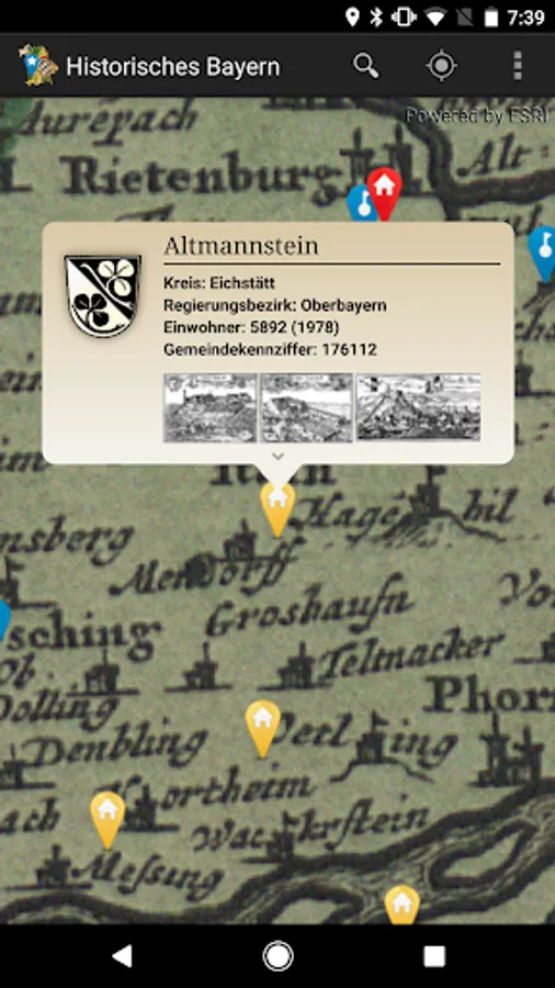
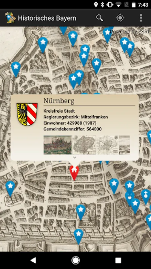
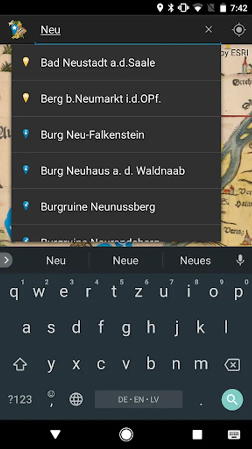
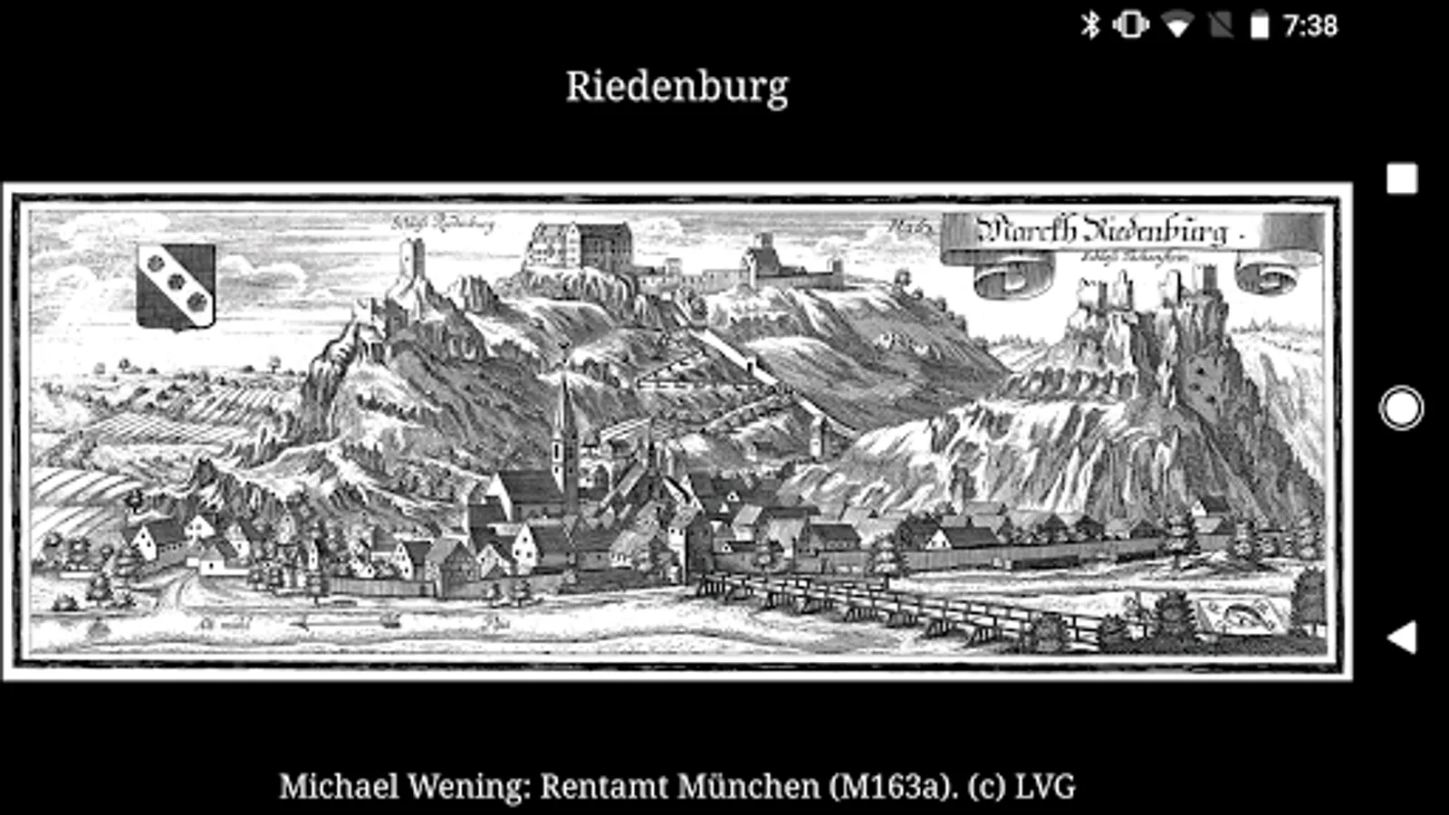
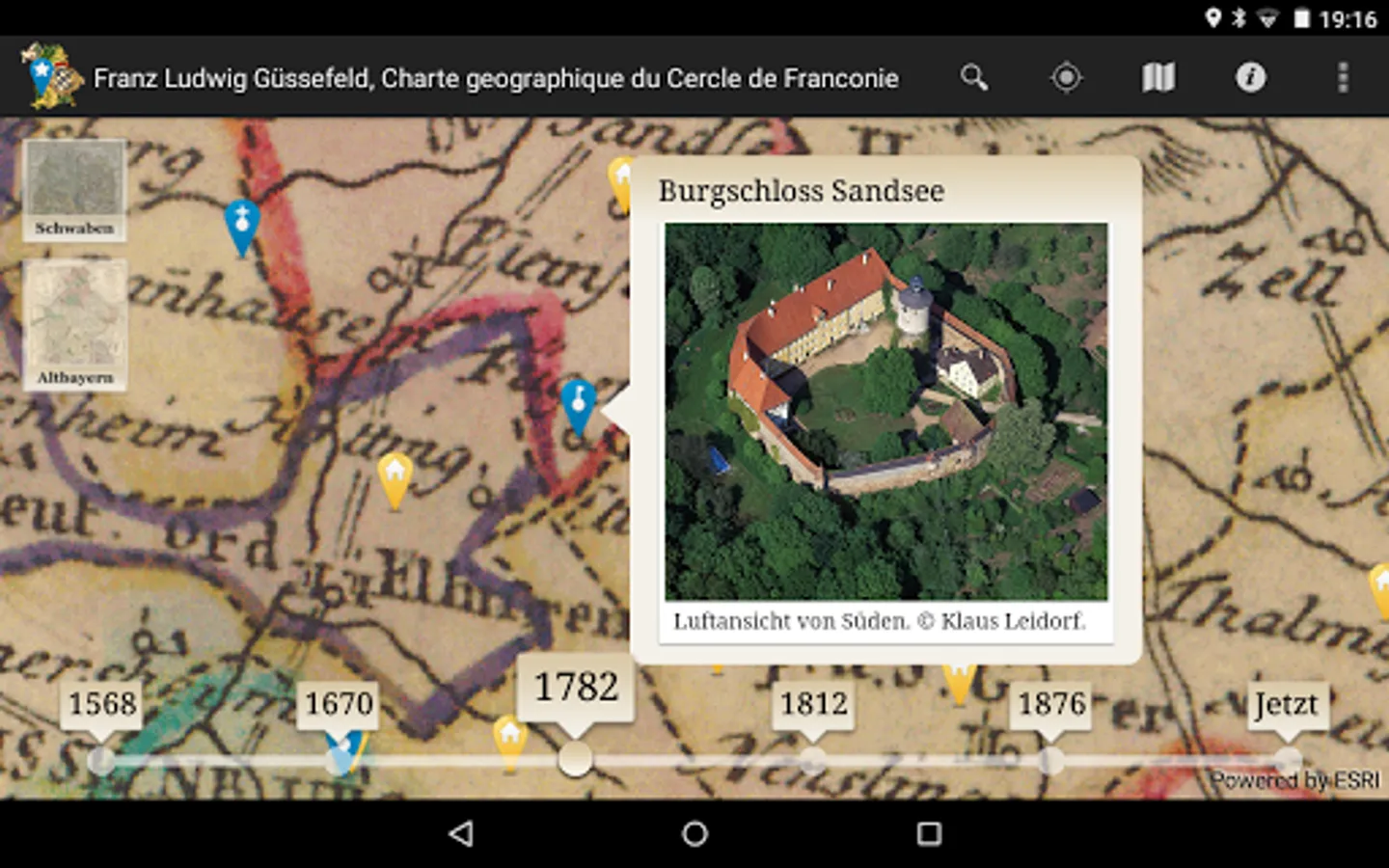
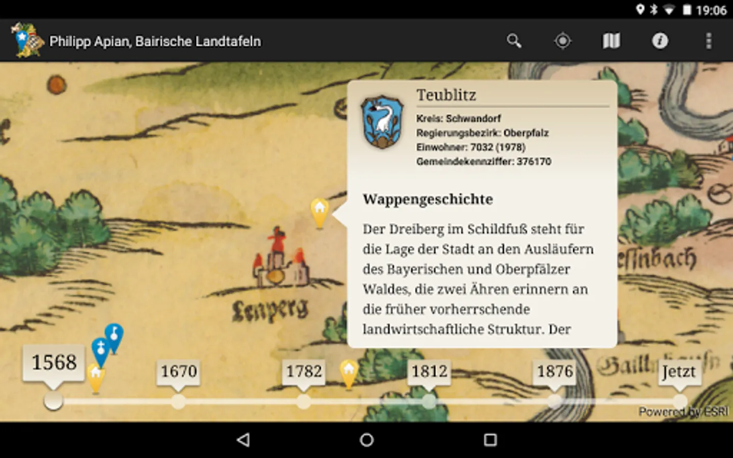
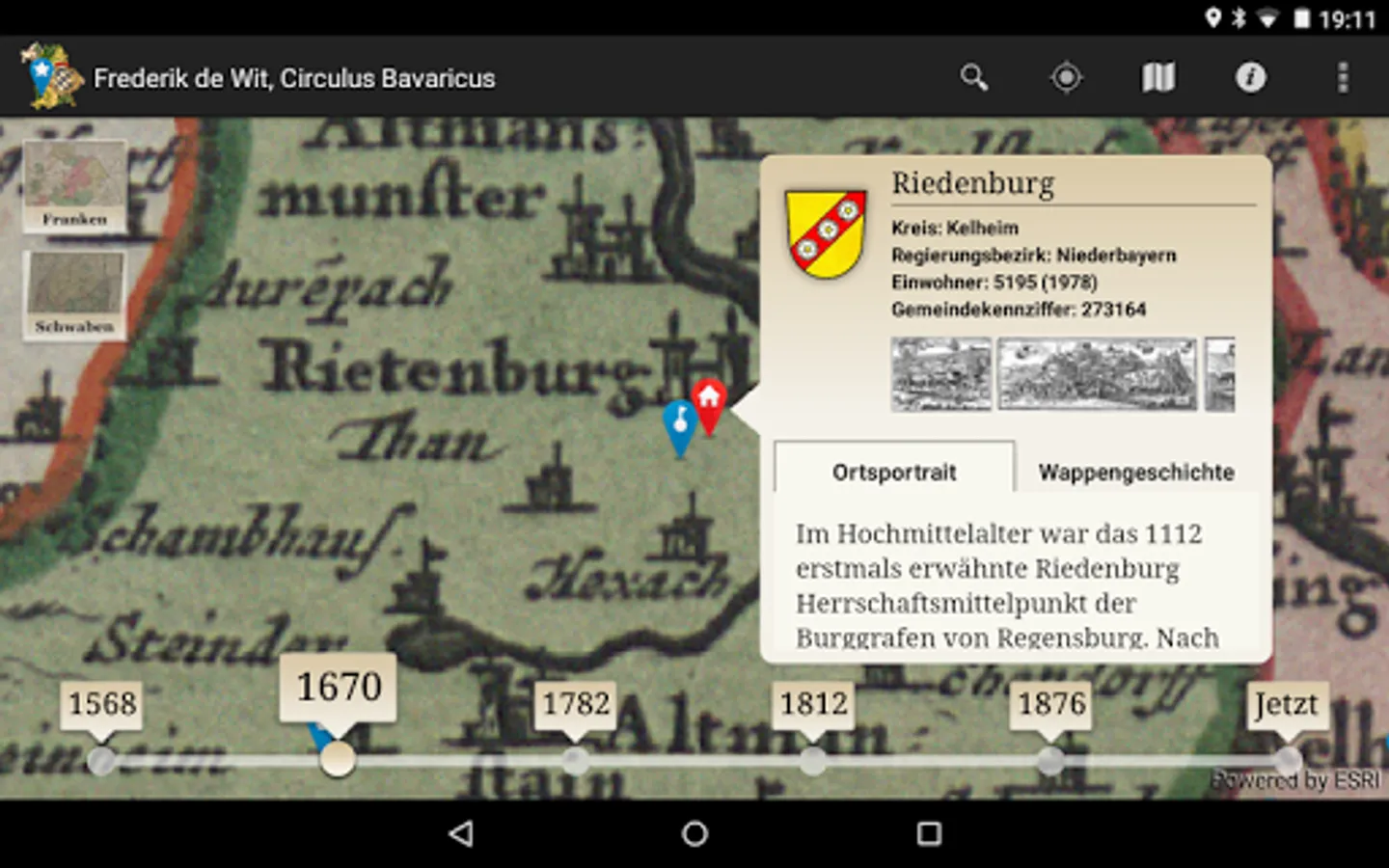
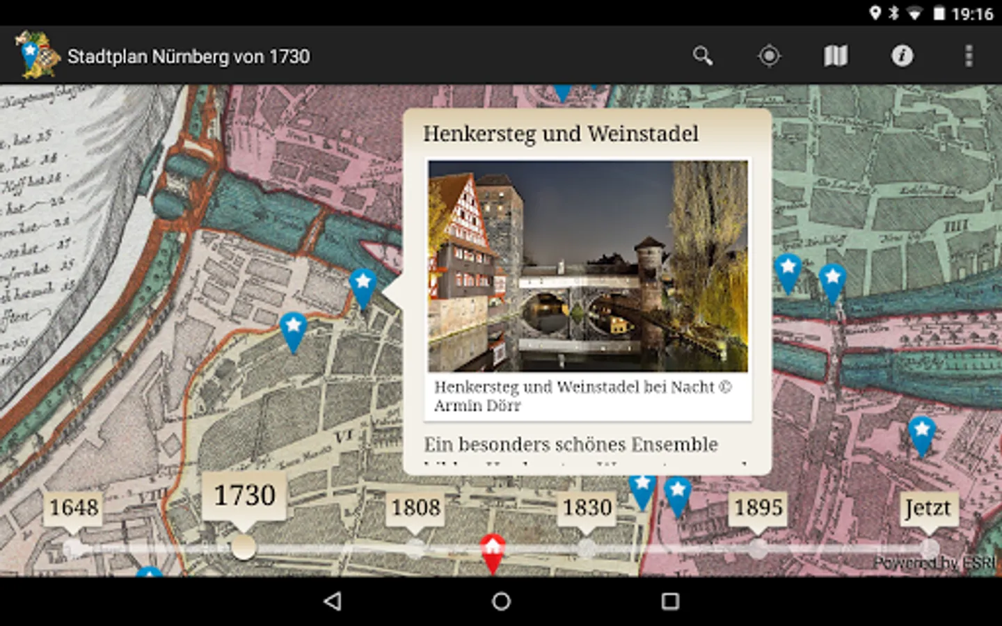
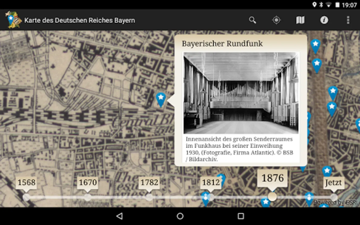
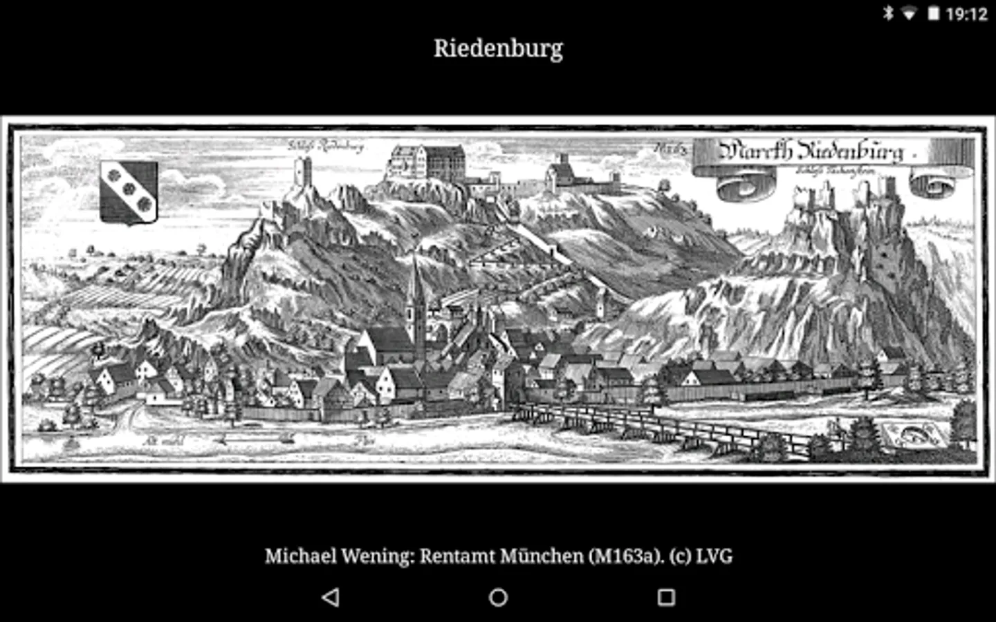
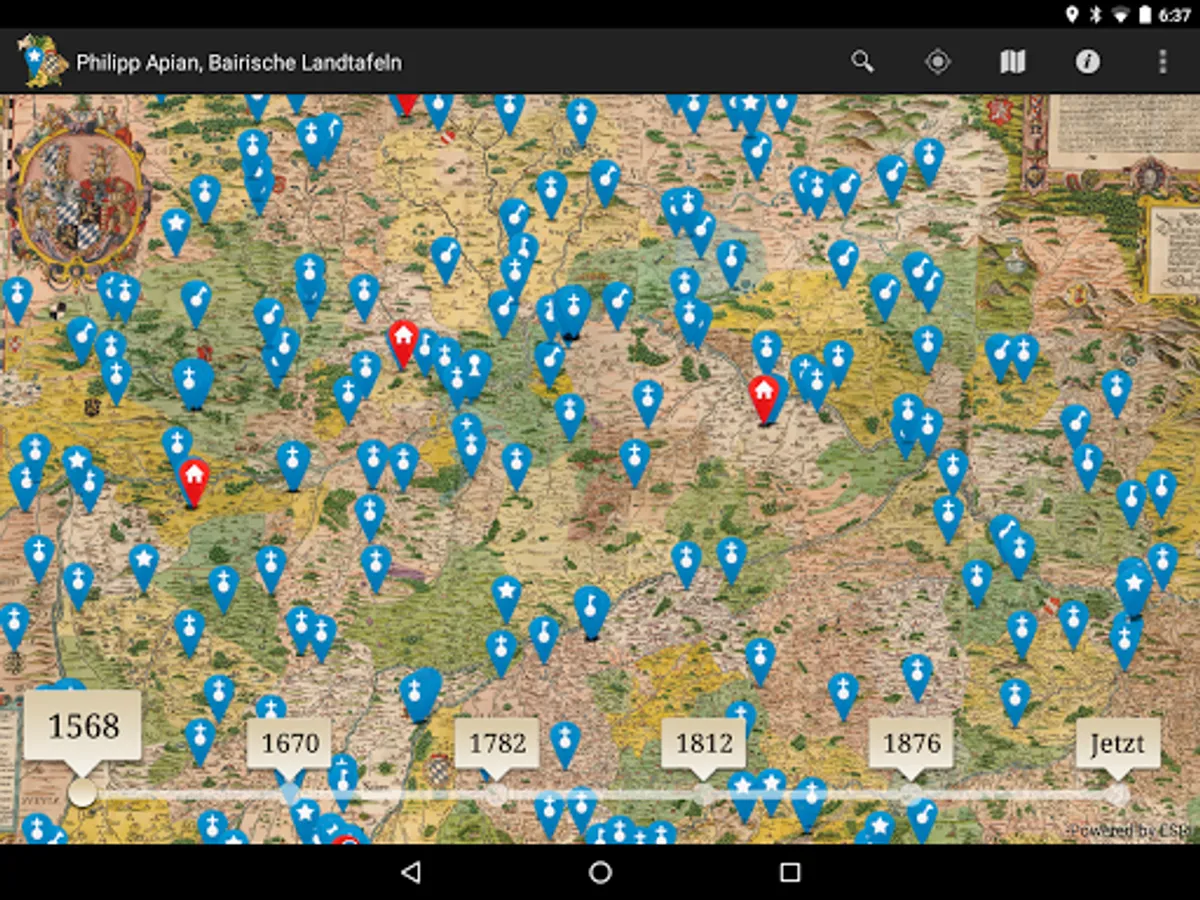
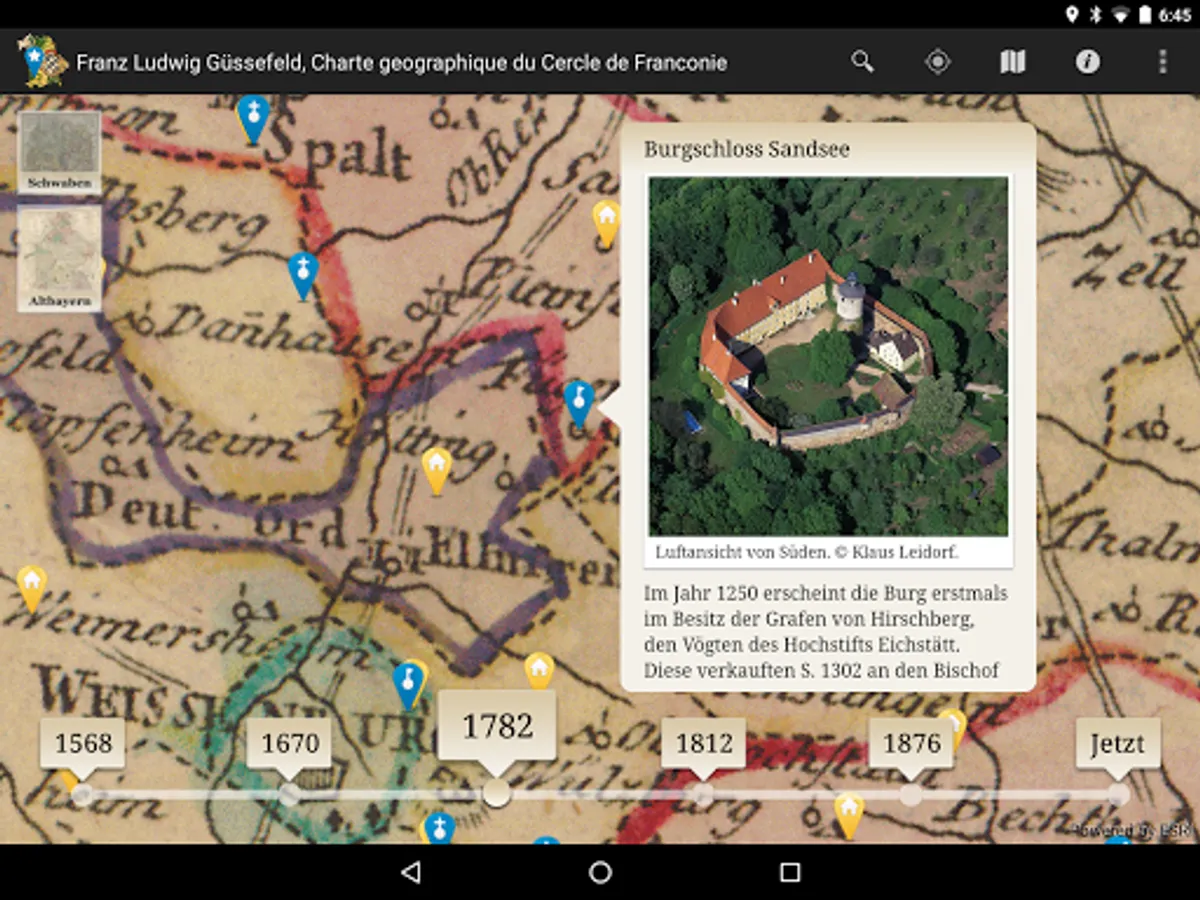
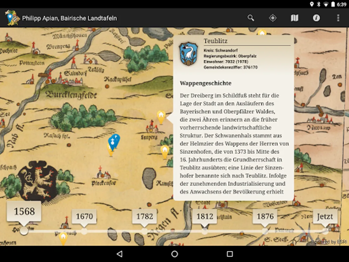
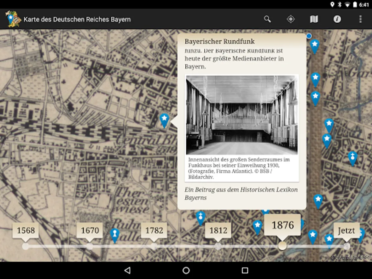
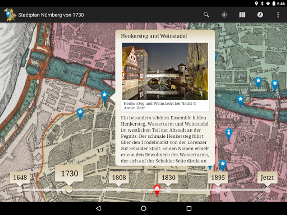
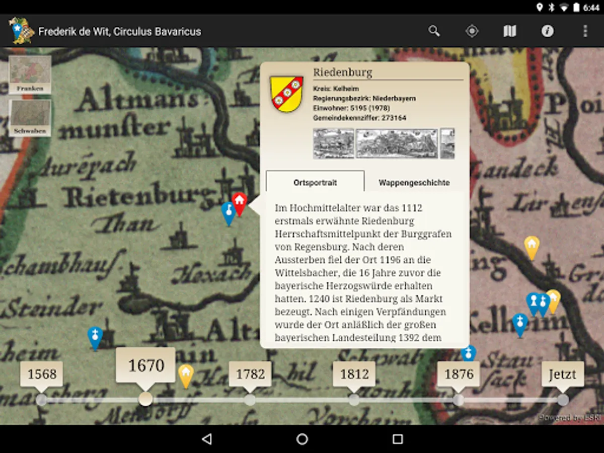
The location-based services app, "Bayern in historical maps" takes you on a fascinating journey to discover Bavaria cities, towns and monuments. Unique and rare historical maps of Bavaria owned by the Bavarian State Library, of the land boards Apian (1568) to "Topographical Atlas of the kingdoms of Bavaria" (1812-1867) may be considered in all details and explored interactively. Your current position as the viewer is displayed directly in the historical map, a timeline, you can navigate seamlessly between different map series. Diverse points-of-interest offer detailed representations to places, castles, monasteries and castles in the area of your site, including 1,000 local historical views of Wening, Merian and Schedel. As a special highlight of Nuremberg offers a variety of multimedia-focused information about the Imperial Castle Town.
The Bavarian State Library is one of the world's largest and most significant research libraries. Their stocks are world famous and valuable works of the written cultural heritage of humanity, including a comprehensive collection of historical maps. The app "Bavaria in historical maps" is a site of the Bavarian State Library on the go and at home. On site you will find your current position in the selected historical map display, as well as interesting places and sites in their vicinity. You can go home in the high-resolution digitized historical maps to a virtual discovery tour through Bavaria. The offer is constantly expanding with new content.
The Bavarian State Library is one of the world's largest and most significant research libraries. Their stocks are world famous and valuable works of the written cultural heritage of humanity, including a comprehensive collection of historical maps. The app "Bavaria in historical maps" is a site of the Bavarian State Library on the go and at home. On site you will find your current position in the selected historical map display, as well as interesting places and sites in their vicinity. You can go home in the high-resolution digitized historical maps to a virtual discovery tour through Bavaria. The offer is constantly expanding with new content.
Bayern in historischen Karten Screenshots


Tap to Rate:
Reviews for Bayern in historischen Karten
A Google user
11/21/2014
Great application! Would you consider an English version to make it available to a greater audience? It'd be perfect for history lovers like myself.