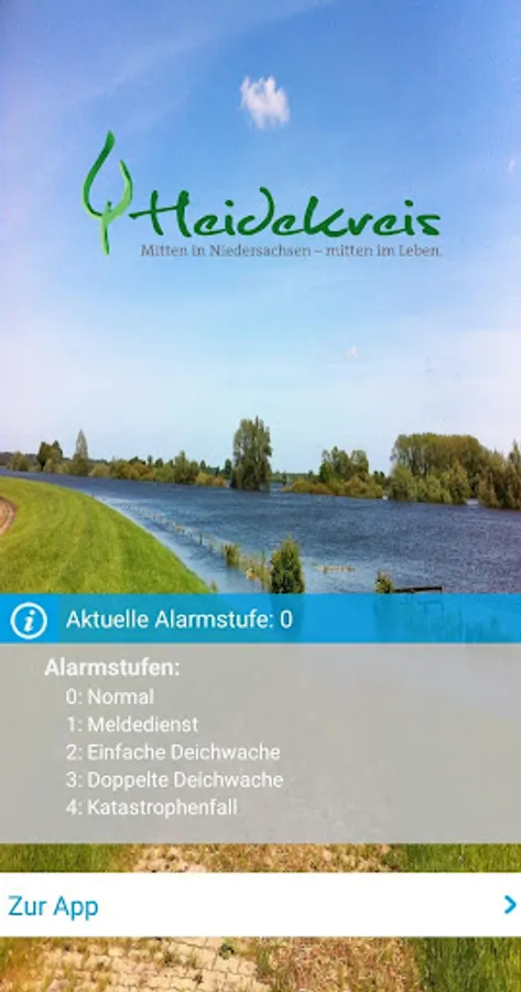
DeichApp Heidekreis
Marktplatz GmbH - Agentur für Web & App
100+
downloads
Free
About DeichApp Heidekreis
The dike app of the Heath Circle is used in the area of the dike associations of the Heath Circle, to coordinate helper flows and to lead specifically to dyke care places where helpers are still needed.
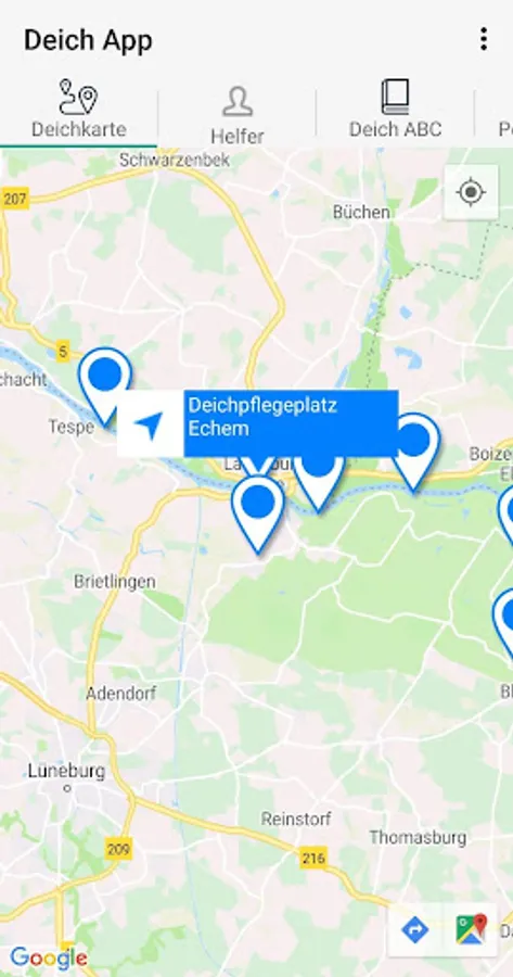
The app provides a map base (dike map) for routing and positioning for officials and assistants.
The functions of the dike app at a glance:
- A dyke map with all relevant information about the dike area
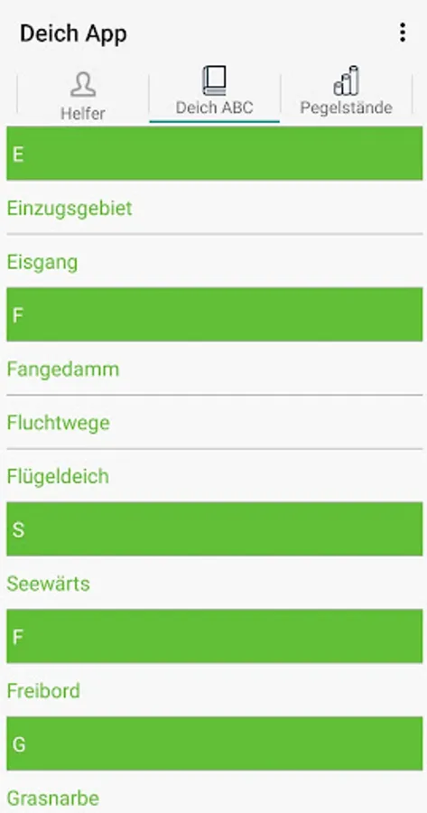
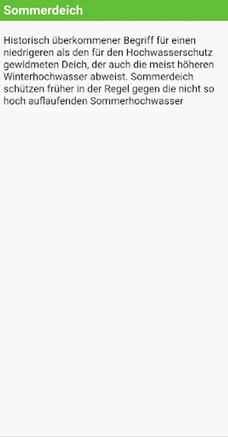
- A dictionary with the most important terms for dike and flood protection (dike ABC)
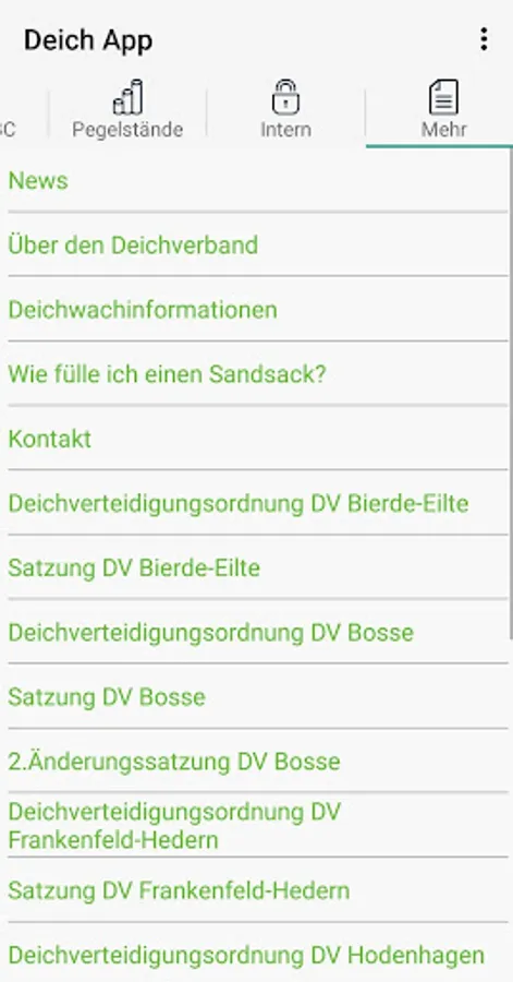
- A news section with current news in the event of a flood
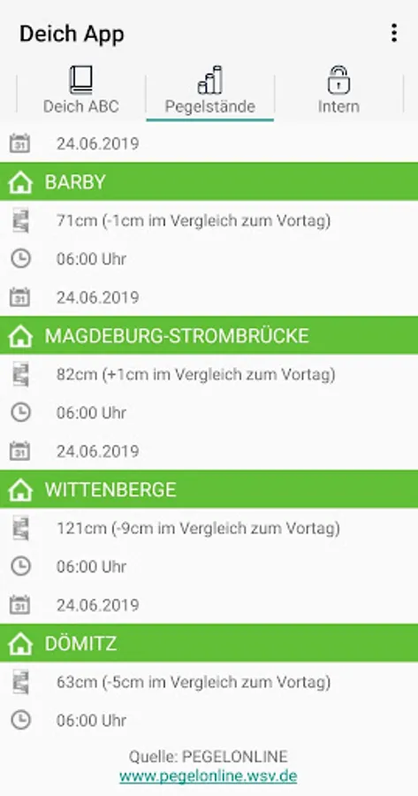
- Current water levels over the Aller and the leash
- Overview of dyke care places
- Coordination options for volunteers
The dike app also includes an internal area where dike participants can record and send any damage reports. In addition, the app has also been designed for the dike guard service at flood times.
The app provides a map base (dike map) for routing and positioning for officials and assistants.
The functions of the dike app at a glance:
- A dyke map with all relevant information about the dike area
- A dictionary with the most important terms for dike and flood protection (dike ABC)
- A news section with current news in the event of a flood
- Current water levels over the Aller and the leash
- Overview of dyke care places
- Coordination options for volunteers
The dike app also includes an internal area where dike participants can record and send any damage reports. In addition, the app has also been designed for the dike guard service at flood times.