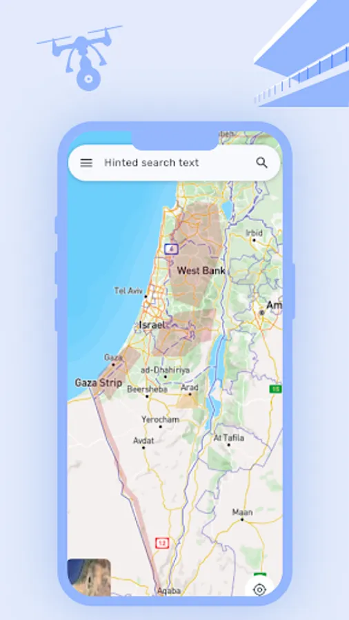
About DronesIL
The official maps application of the Civil Aviation Authority of Israel.
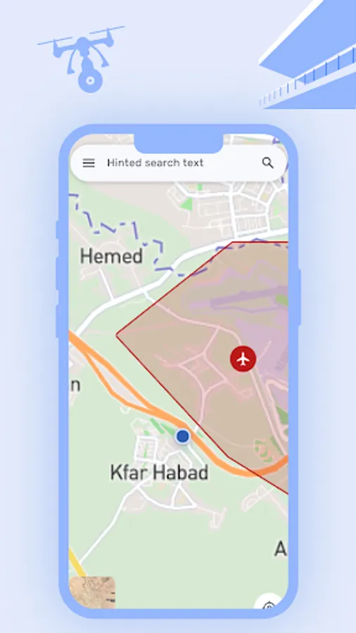
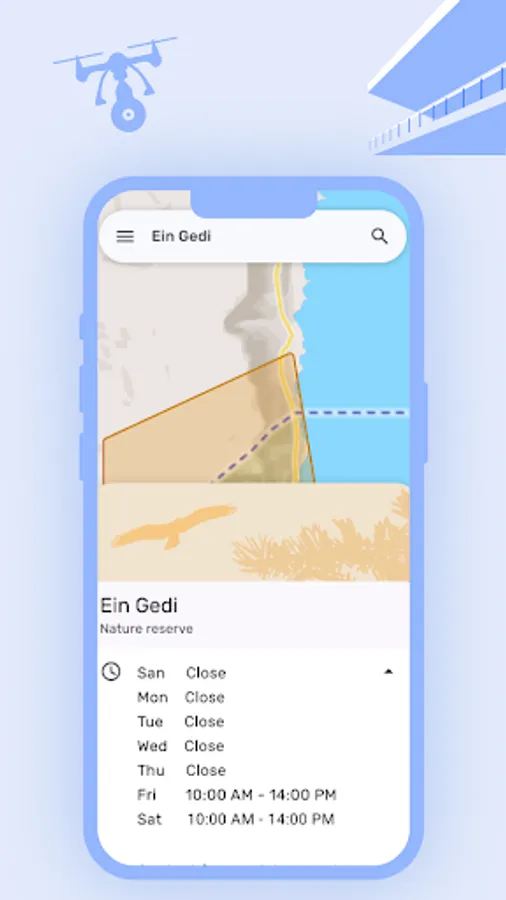
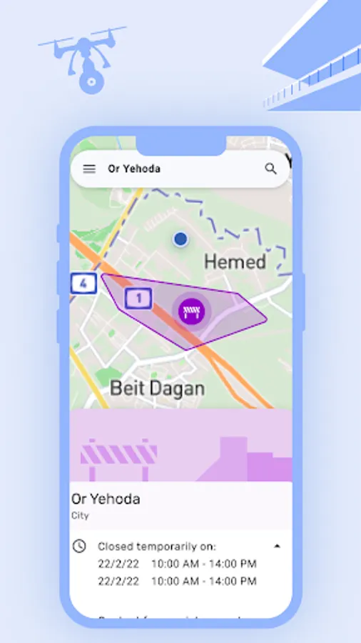
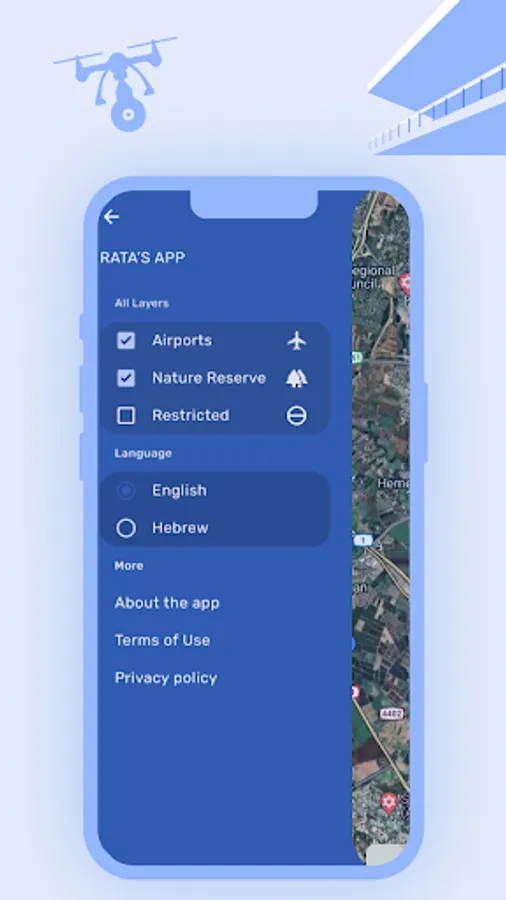
This app provides updated information on flight zones, airspace restrictions, and maps designed specifically for drone operators in Israel.
Enhance your drone operations with accurate, real-time data to ensure safety and compliance with Civil Aviation Authority regulations.
This app provides updated information on flight zones, airspace restrictions, and maps designed specifically for drone operators in Israel.
Enhance your drone operations with accurate, real-time data to ensure safety and compliance with Civil Aviation Authority regulations.