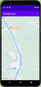
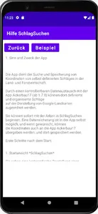
The app is used to search for and save coordinates of self-defined fields in agriculture and forestry.
Through a controllable data exchange with the Ackerbau17 app (from 1.7.8), defined and organized fields can be defined there
be assigned to the display of Google maps.
A brief overview is available on the "Crop rotation and arable farming" channel.
You can start working in FieldSearch immediately. A data backup is possible in the app itself, and if desired, can
the coordinates are also transferred to the Ackerbau17 app and stored there.
Show More