AppRecs review analysis
AppRecs rating . Trustworthiness 75 out of 100. Review manipulation risk 21 out of 100. Based on a review sample analyzed.
★
AppRecs Rating
Ratings breakdown
5 star
0%
4 star
0%
3 star
0%
2 star
0%
1 star
100%
What to know
✓
Low review manipulation risk
21% review manipulation risk
✓
Credible reviews
75% trustworthiness score from analyzed reviews
⚠
Mixed user feedback
Average 1.0★ rating suggests room for improvement
About Mappe catasto e ziopino
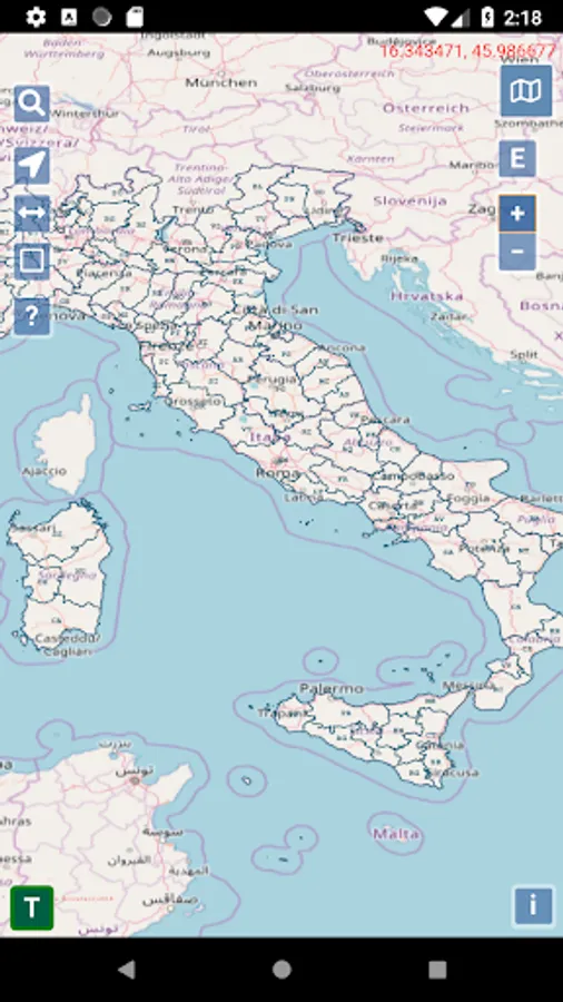
Thanks to a service offered by the Italian cadastre, we have created this map navigator that allows you to view all the updated Italian cadastral maps and have a consultant at hand who, thanks to artificial intelligence, resolves your doubts on the land cadastre, buildings cadastre , reconfinements, drone topography.
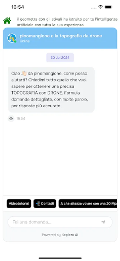
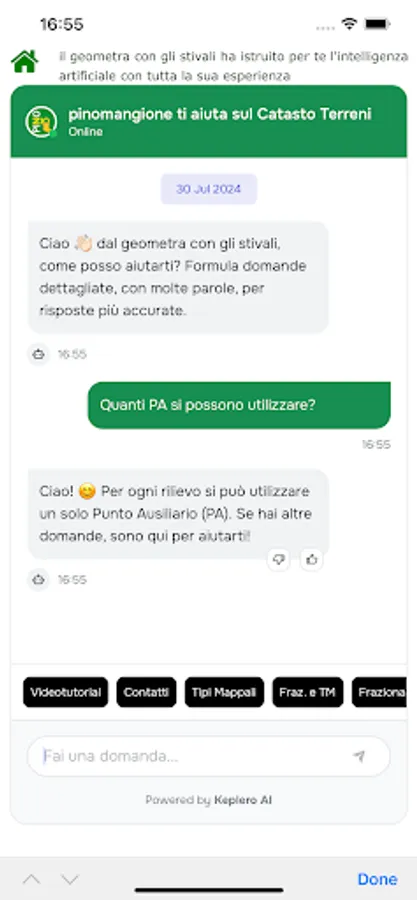
With Ziopino you will be able to ask Pino the glutton:
will respond to you on regulations and work methods thanks to artificial intelligence.
You will have 4 chats: land register, buildings register, reconfinements, drone topography.
any doubts, difficulties or to resolve problems and suspensions: the chats instructed by him will respond immediately with the best solution suitable for you. A faithful companion always available to your professionalism.
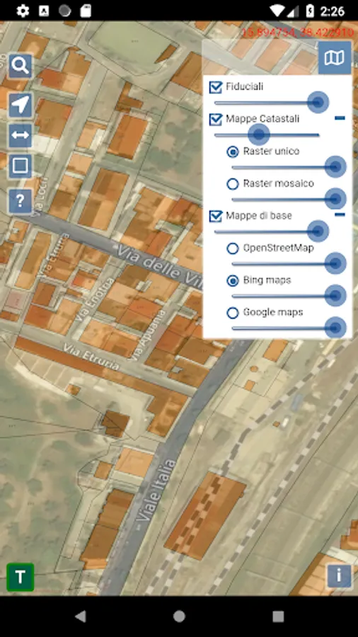
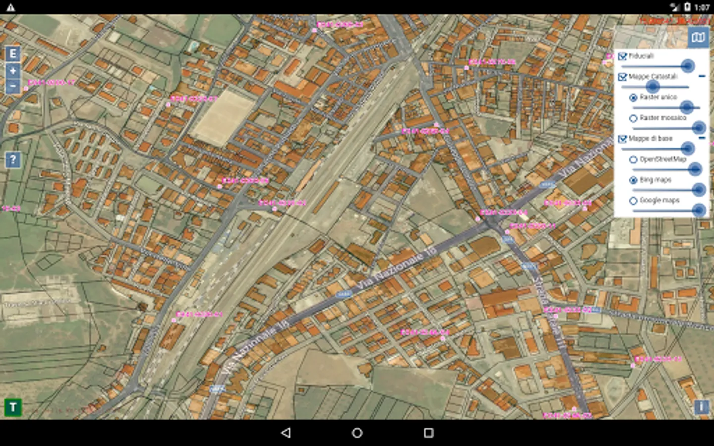
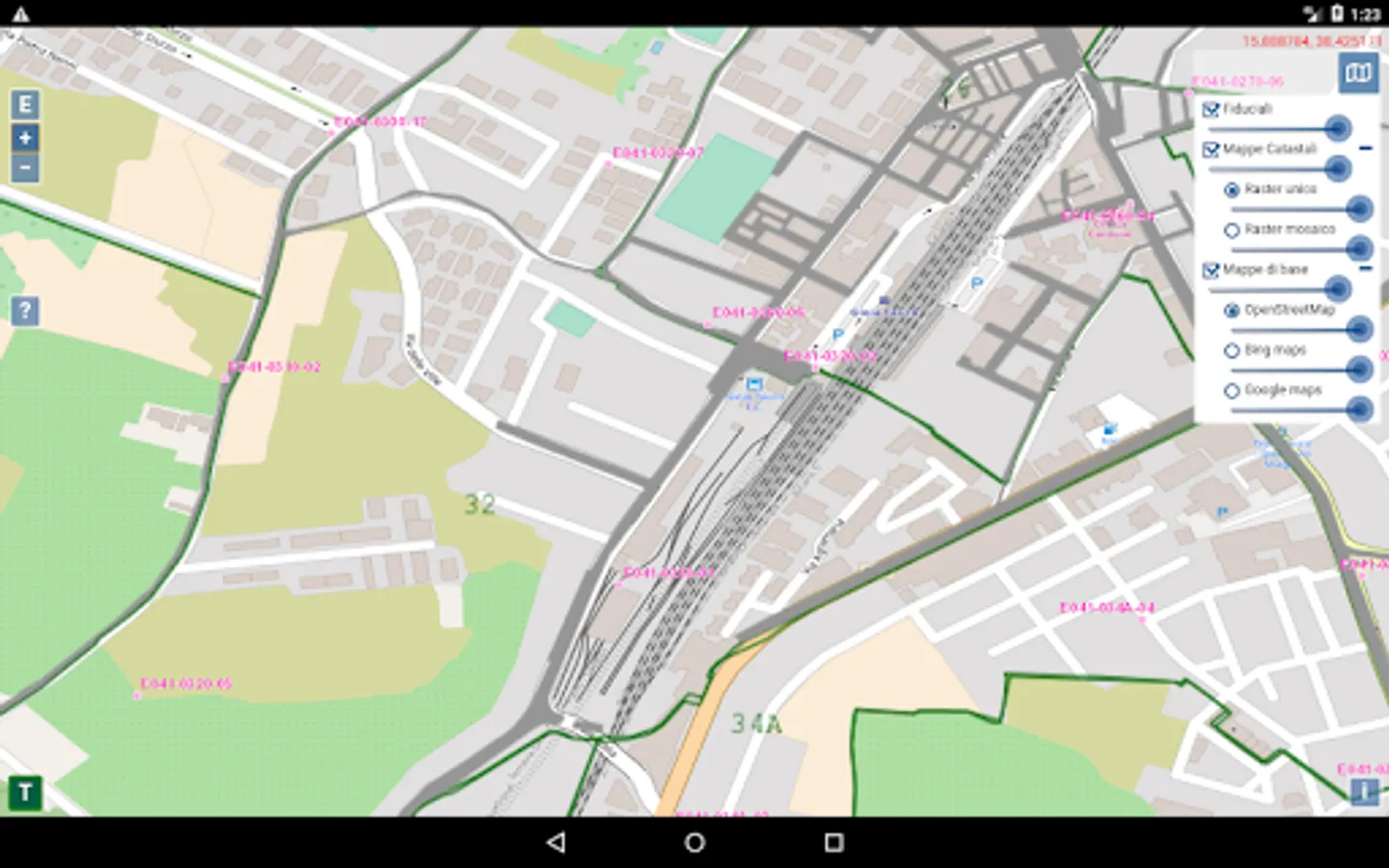
With web maps you will be able to:
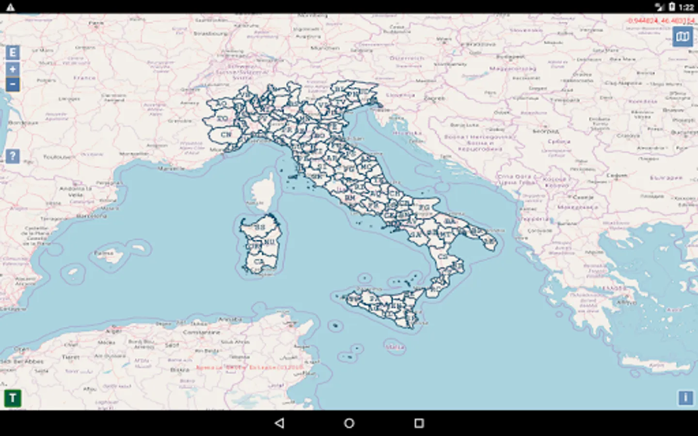
have all the cadastral maps updated at the moment at hand.
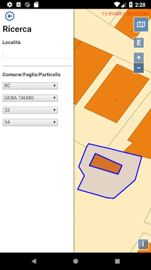
Search for your parcel by address or by municipality and sheet.
Calculate areas and graphic distances.
Geolocate the particles: practically as you walk you will know which particle you are on.
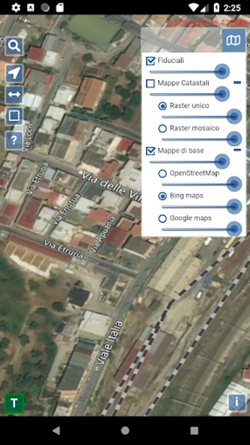
View the location of fiducial points (PF): access the fiducial point monographs and activate the navigator to reach them precisely.
View and verify the measurements between all the PFs of your interest
Overlay cadastral maps with Google Maps, Bing Maps and Open Street Map.
With Ziopino you will be able to ask Pino the glutton:
will respond to you on regulations and work methods thanks to artificial intelligence.
You will have 4 chats: land register, buildings register, reconfinements, drone topography.
any doubts, difficulties or to resolve problems and suspensions: the chats instructed by him will respond immediately with the best solution suitable for you. A faithful companion always available to your professionalism.
With web maps you will be able to:
have all the cadastral maps updated at the moment at hand.
Search for your parcel by address or by municipality and sheet.
Calculate areas and graphic distances.
Geolocate the particles: practically as you walk you will know which particle you are on.
View the location of fiducial points (PF): access the fiducial point monographs and activate the navigator to reach them precisely.
View and verify the measurements between all the PFs of your interest
Overlay cadastral maps with Google Maps, Bing Maps and Open Street Map.