AppRecs review analysis
AppRecs rating . Trustworthiness 83 out of 100. Review manipulation risk 20 out of 100. Based on a review sample analyzed.
★
AppRecs Rating
Ratings breakdown
5 star
17%
4 star
17%
3 star
0%
2 star
0%
1 star
67%
What to know
✓
Low review manipulation risk
20% review manipulation risk
✓
Credible reviews
83% trustworthiness score from analyzed reviews
⚠
Mixed user feedback
Average 2.2★ rating suggests room for improvement
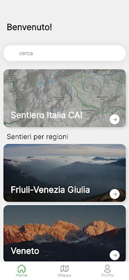
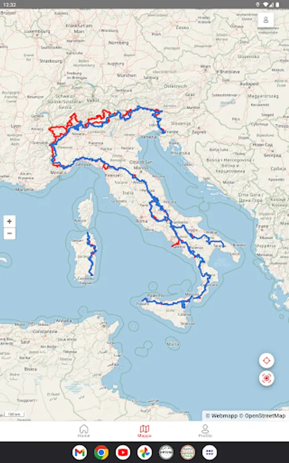
About Sentiero Italia
* Nature and landforms in high resolution
* Contains the routes of the Italian Hiking Network
* Georeferenced maps in image format, compatible with navigation apps
General features
* Homepage: search by stage name, starting point and arrival point
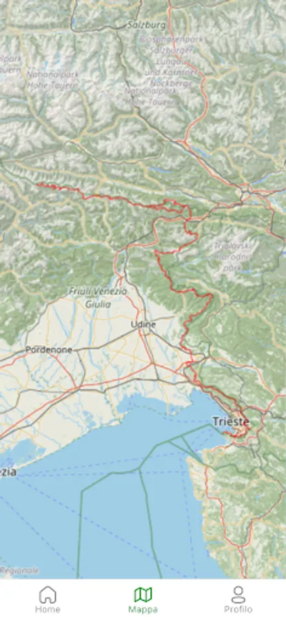
* General map: display of all the stages of the national territory
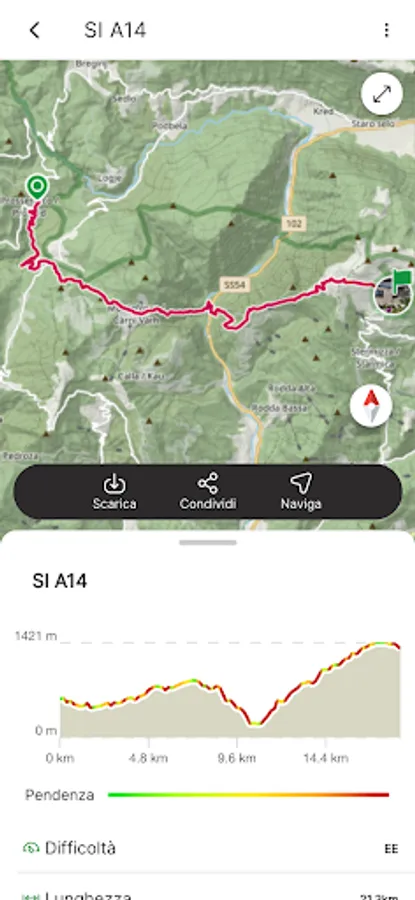
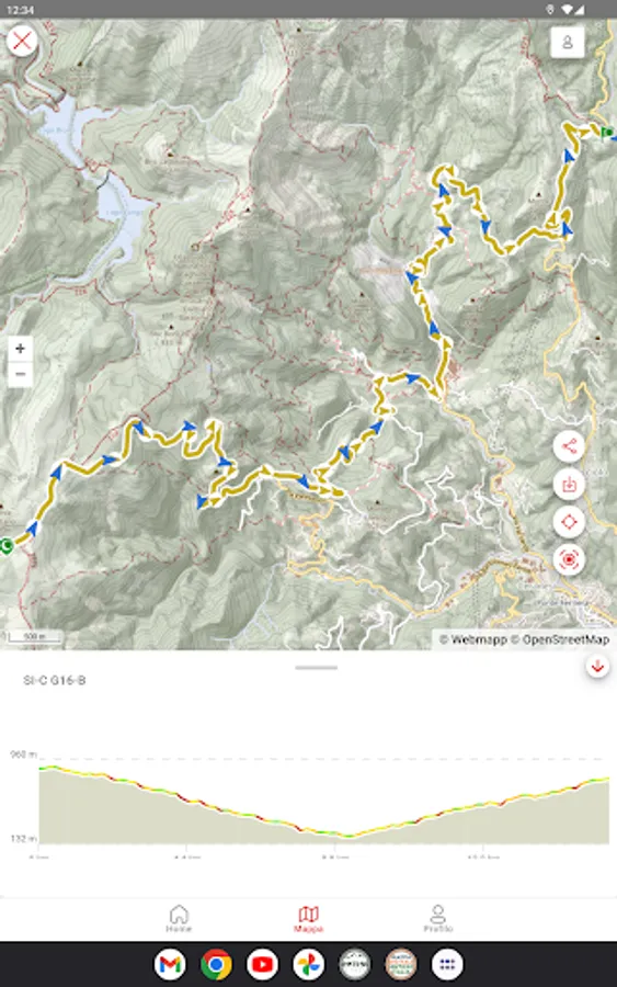
Single stage functionality:
* View detailed map of the stage
* View technical details of the stage with description and photos
* Offline download of interactive and map data
* Navigation functionality along the stage track
* Sharing the stage on social media
Geolocation
The APP is particularly useful in the field with geolocation activated which in the map interface shows a blue dot representing the current position of the device used.
Sentiero Italia Screenshots
Tap to Rate:
Reviews for Sentiero Italia
Simone Albanese
5/30/2024
Inutile
Davide Pellegatta
7/4/2023
Ciao, premesso che sono un socio CAI, sezione Aprica (SO), vorrei avvisare che le varie tappe da voi costruite, presentano errori nei dati: un esempio la tappa in Liguria da "Colle del Melogno" a "Giogo di Giustenice" la ho percorsa svariate volte e sono circa 250m dsl+, non gli 800m dsl+ che seganalte voi. Sono cifre molto diverse e possono creare confusione agli appassionati, dateci un controllo. Ciao e grazie, buon HIKING a tutti!!!!!