About 監督さん3D/3Dプロ
Controller application for connecting to total stations and GNSS receivers for surveying work
Director 3D is an application software that can immediately respond to complicated surveying calculation work at the time of construction by inputting route data.
All data can be centrally managed with a minimum of input work.
・ Supports TS / GNSS finished form observation and one-man observation
[Installed functions]
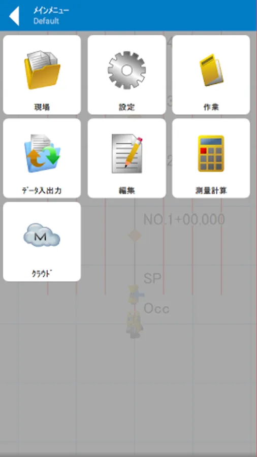
• Site management / settings / coordinate editing / cloud
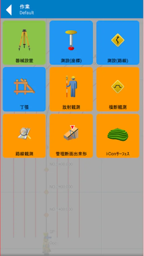
• Instrument installation (rear meeting / rear viewpoint (known point) / rear viewpoint (azimuth))
• Measurement (coordinates) / measurement (route) / chopsticks
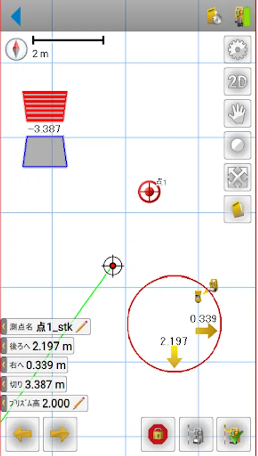
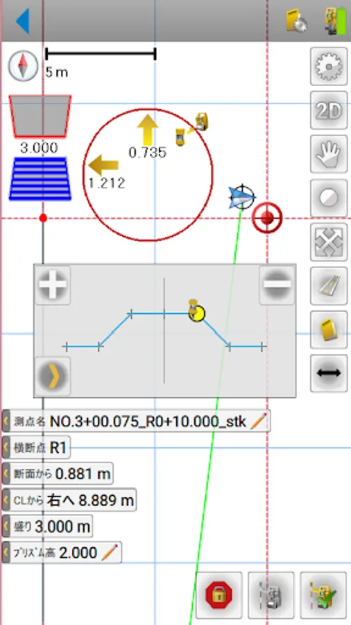
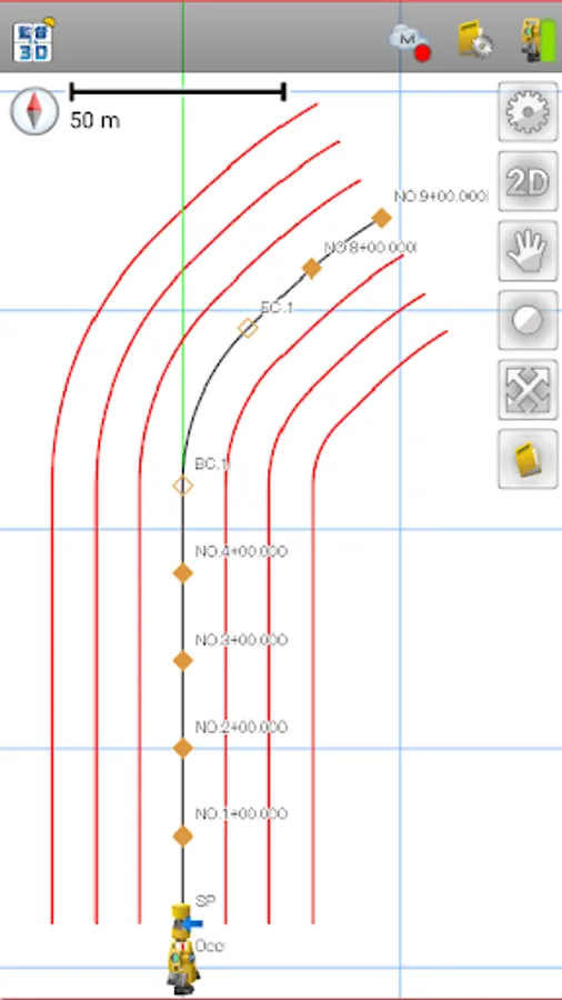
• Radiation observation / cross-section observation / route observation / management cross-section
• Survey calculation (2 straight line intersection / line offset / ST calculation / 3 point internal angle / translation / area calculation / area division / surface volume calculation) / route calculation
• Data input / output (DWG / DXF / Land XML / SIMA)
[3D Pro]
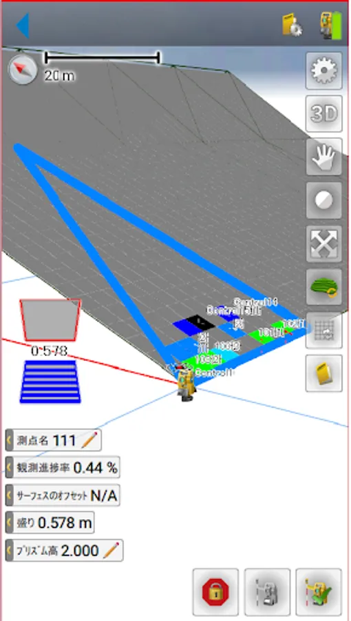
• iCon surface / iCon surface XML read / GNSS connection / localization / 3DMC input / output
[Target device]
・ FC-600
・ FC-6000A
* Please note that we do not guarantee operation on devices other than the target device.
Director 3D is an application software that can immediately respond to complicated surveying calculation work at the time of construction by inputting route data.
All data can be centrally managed with a minimum of input work.
・ Supports TS / GNSS finished form observation and one-man observation
[Installed functions]
• Site management / settings / coordinate editing / cloud
• Instrument installation (rear meeting / rear viewpoint (known point) / rear viewpoint (azimuth))
• Measurement (coordinates) / measurement (route) / chopsticks
• Radiation observation / cross-section observation / route observation / management cross-section
• Survey calculation (2 straight line intersection / line offset / ST calculation / 3 point internal angle / translation / area calculation / area division / surface volume calculation) / route calculation
• Data input / output (DWG / DXF / Land XML / SIMA)
[3D Pro]
• iCon surface / iCon surface XML read / GNSS connection / localization / 3DMC input / output
[Target device]
・ FC-600
・ FC-6000A
* Please note that we do not guarantee operation on devices other than the target device.
監督さん3D/3Dプロ Screenshots


Tap to Rate: