نقشهی ترافیک اصفهان
city map
3.4 ★
store rating
10,000+
downloads
Free
AppRecs review analysis
AppRecs rating 3.4. Trustworthiness 0 out of 100. Review manipulation risk 0 out of 100. Based on a review sample analyzed.
★★★☆☆
3.4
AppRecs Rating
Ratings breakdown
5 star
51%
4 star
0%
3 star
12%
2 star
12%
1 star
25%
What to know
✓
Authentic reviews
Natural distribution, no red flags
⚠
High negative review ratio
37% of sampled ratings are 1–2 stars
About نقشهی ترافیک اصفهان
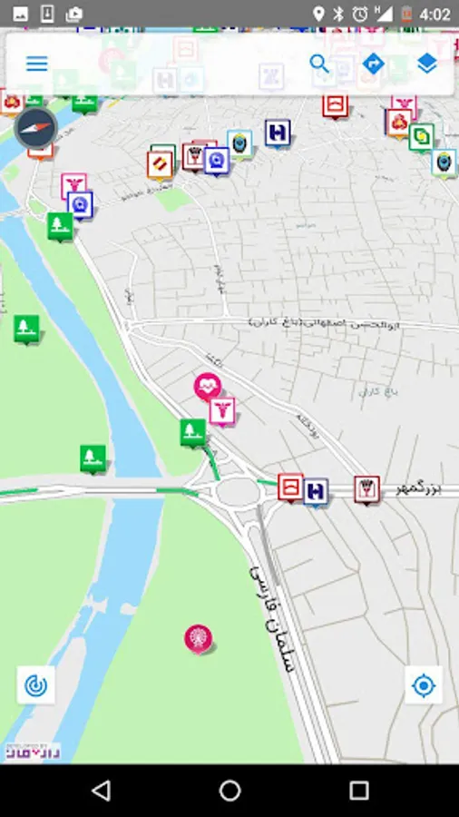
- Offline map of Isfahan and some layers of functional location
- Status online traffic intersections City
- Images of traffic cameras
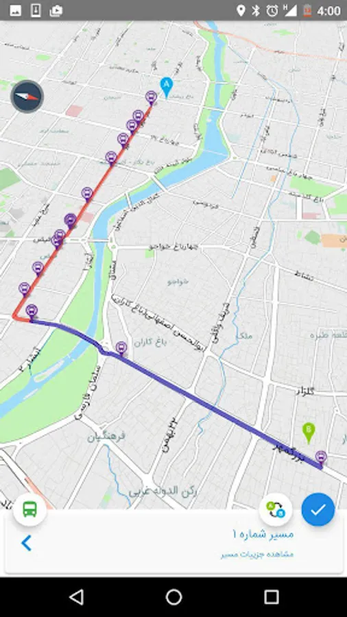
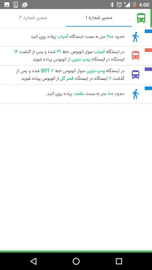
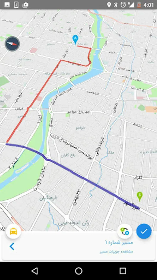
- Intelligent routing bus service
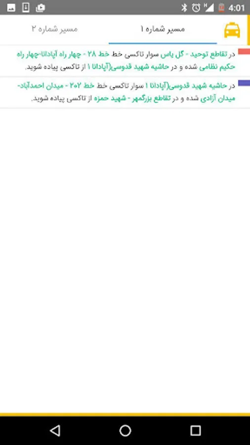
- Intelligent routing services sedans
- Ability to view the map in the bird's-eye view next two and a half
- Ability to consider making the range of projects and road traffic in car navigation
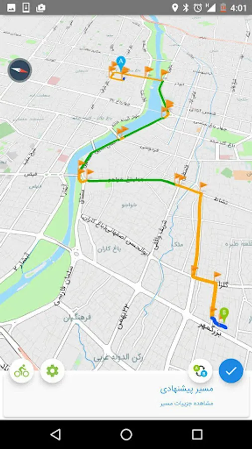
- Bicycle Routing Service
Traffic and Intelligent Transportation comprehensive map of the route guidance citizens and tourists trips within the city and information about the current traffic situation developed. The project is web-based version is also available http://isfahantraffic.ir address. This project in the department of transport and traffic Isfahan Municipality, in collaboration with the engineering firm of benevolent and traffic control center uses a data structure implemented by the company.
The main features of this software include:
- Mobile Maps offline and layers of functional location
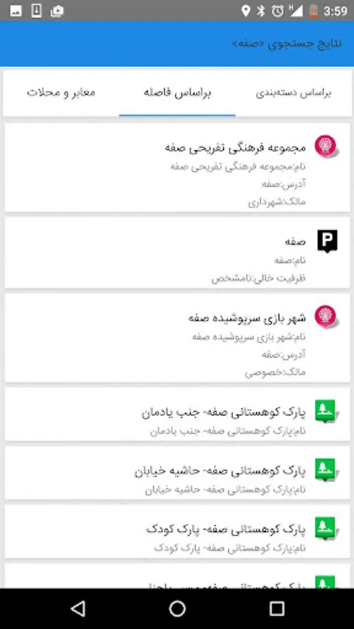
Map of locations with different details with relevant information layers related to the transport and traffic is available offline. In the event of a change in location or new layers are added to the appropriate message to the user and if approved will be updated user layers.
- Status online traffic intersections City
SCATS intersection of sensors controls traffic information automatically collected and published after preprocessing in the traffic control center on the map. This information is downloaded from the Internet on mobile phones are displayed on the map. Updated information is user-configurable period of time.
- Images, traffic cameras
With this feature, video cameras, video surveillance collected from the user's metropolitan Isfahan. Click on each camera, the last image recorded is displayed to the user downloaded from the Internet.
- Intelligent routing bus
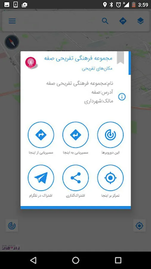
User by entering this section and click on the map to determine the origin and your destination and route system or via the Internet from a central server receives the proposed routes. Route to a map drawn and described step by step path is available to the user.
- Intelligent routing for trucks
The service is based on the travel route by car to the metropolitan road network of the user. User your desired destination on the map and good directions to reach the destination via the Internet of central server and drawn on a map. Description stepwise path in describing the path is available to the user. The user may ride on your personal car or taxi use exclusively for traffic. In the latter case the deliberate abuse of this service in addition to the user guide will be unfamiliar to tourists and travelers.
- Status online traffic intersections City
- Images of traffic cameras
- Intelligent routing bus service
- Intelligent routing services sedans
- Ability to view the map in the bird's-eye view next two and a half
- Ability to consider making the range of projects and road traffic in car navigation
- Bicycle Routing Service
Traffic and Intelligent Transportation comprehensive map of the route guidance citizens and tourists trips within the city and information about the current traffic situation developed. The project is web-based version is also available http://isfahantraffic.ir address. This project in the department of transport and traffic Isfahan Municipality, in collaboration with the engineering firm of benevolent and traffic control center uses a data structure implemented by the company.
The main features of this software include:
- Mobile Maps offline and layers of functional location
Map of locations with different details with relevant information layers related to the transport and traffic is available offline. In the event of a change in location or new layers are added to the appropriate message to the user and if approved will be updated user layers.
- Status online traffic intersections City
SCATS intersection of sensors controls traffic information automatically collected and published after preprocessing in the traffic control center on the map. This information is downloaded from the Internet on mobile phones are displayed on the map. Updated information is user-configurable period of time.
- Images, traffic cameras
With this feature, video cameras, video surveillance collected from the user's metropolitan Isfahan. Click on each camera, the last image recorded is displayed to the user downloaded from the Internet.
- Intelligent routing bus
User by entering this section and click on the map to determine the origin and your destination and route system or via the Internet from a central server receives the proposed routes. Route to a map drawn and described step by step path is available to the user.
- Intelligent routing for trucks
The service is based on the travel route by car to the metropolitan road network of the user. User your desired destination on the map and good directions to reach the destination via the Internet of central server and drawn on a map. Description stepwise path in describing the path is available to the user. The user may ride on your personal car or taxi use exclusively for traffic. In the latter case the deliberate abuse of this service in addition to the user guide will be unfamiliar to tourists and travelers.
