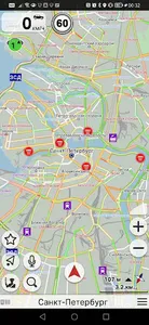
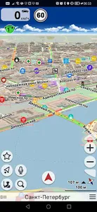
CityGuide M combines the advantages of an offline navigator with the convenience of using online applications. The program uses compressed vector maps, so CityGuide M works in poor connection conditions, and all used maps are automatically saved on the device. If there is no access to the Internet, CityGuide M automatically switches to offline mode and works as an offline navigator.
This is a navigation program designed for motorists, pedestrians, hikers, professional drivers and all those who need accurate maps and a reliable tool to use them. CityGuide M is an offline navigator that is as easy to use as an online map.
This is a social navigation network. Programs through the server automatically exchange information about current traffic conditions, which allows you to find the most optimal routes in conditions of constrained urban traffic, traffic jams, traffic jams and temporary overlaps.
This is an OEM tool for creating your own applications and integrating them into ready-made systems. The program is used for social communication, monitoring friends, managing mobile staff, calling a taxi and a tow truck, as well as solving many other tasks.
This is the ability to integrate with the City Guide / bGEO WEB API platform, which works with ON / OFF line maps and corrections, exchanges data via the Telematic API, controls trips and saves their history, plans a trip route, exchanges waybills with a driver online, sets statuses, takes into account its own restrictions when calculating routes.
Show More