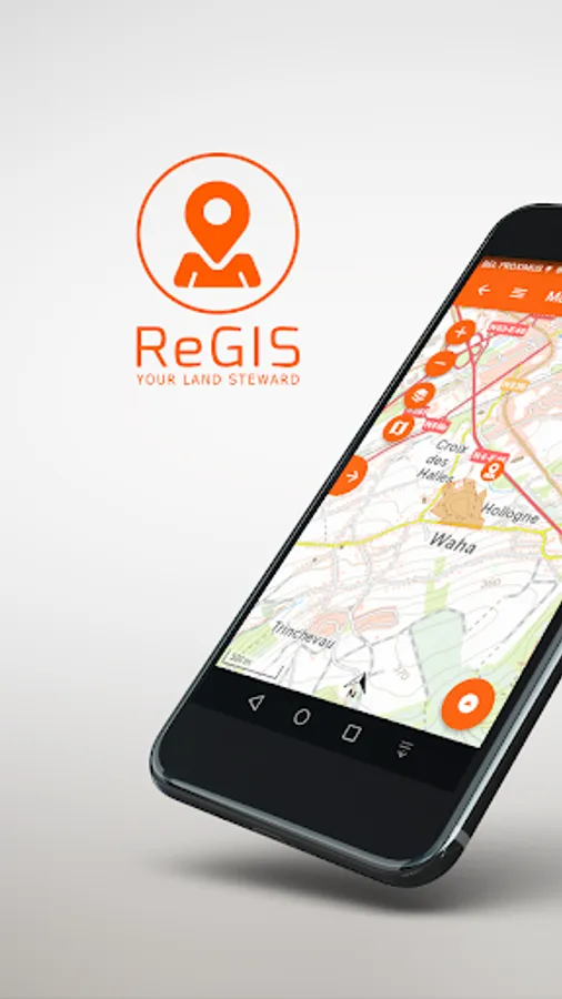
ReGIS
TerrEye
500+
downloads
Free
About ReGIS
Through ReGIS, TerrEye offer a cloud-based platform to manage, process, view, analyse and collaborate around data for land management.
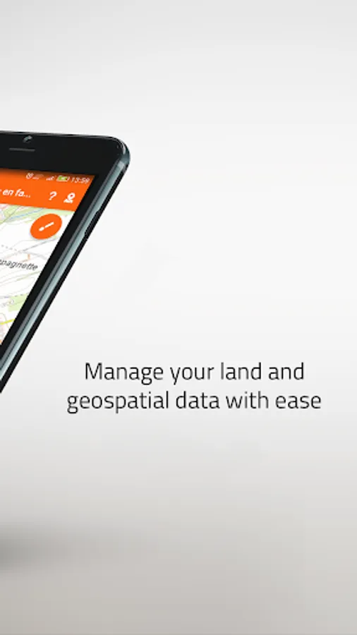
The platform is the solution that provides simplicity, security, and scalability that land managers require to turn geospatial data into business insights.
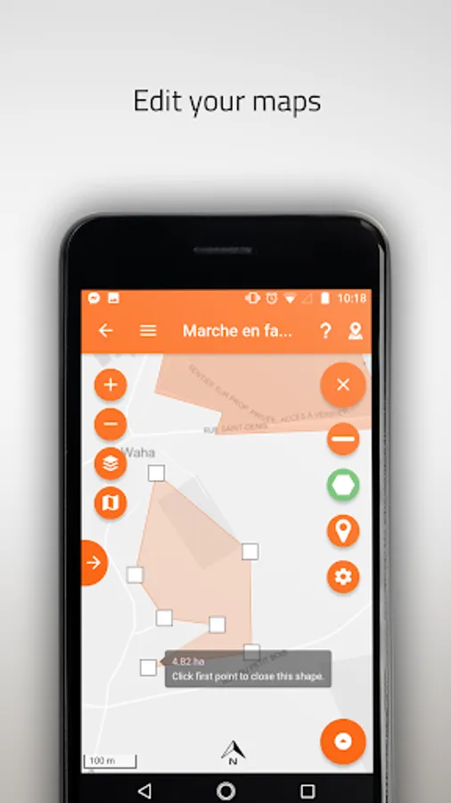
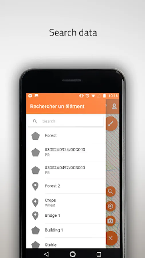
Features :
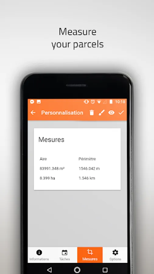
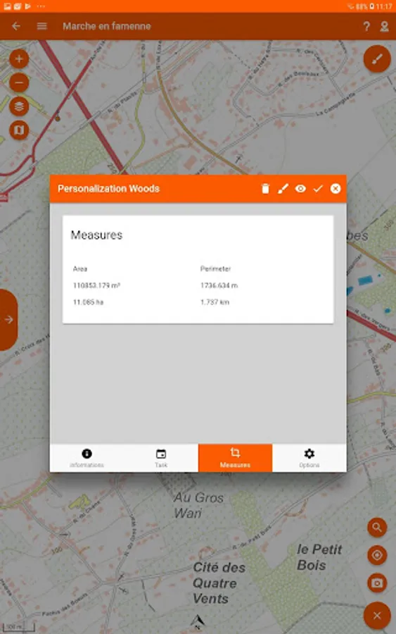
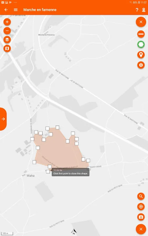
- Vector drawing
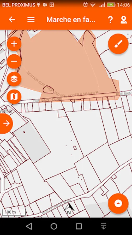
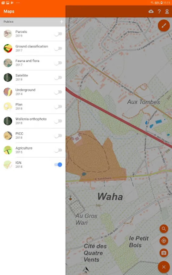
- Maps management
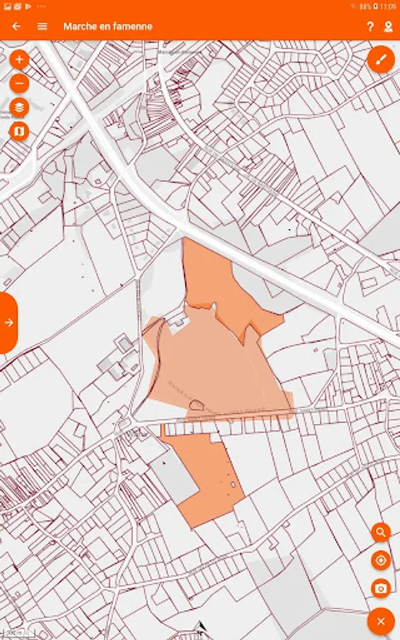
- SPW - IGN
- SPW - PICC
- SPW - Agricultural parcels
- SPW - Natura 2000
- ...
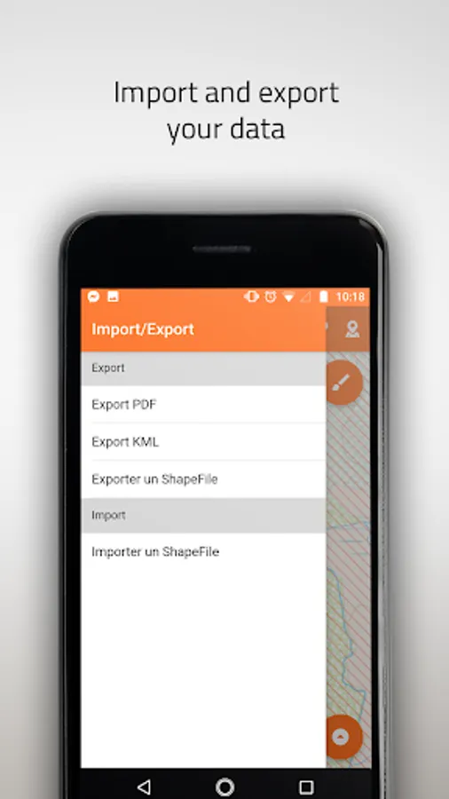
- Shapefiles import
- PDF/KML/Shapefile export
- Wallonia administrative parcels
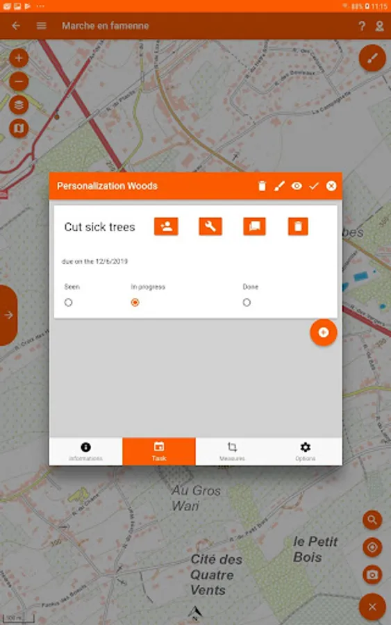
- Team and task management
- Files an pictures management
- Geopositioning
- Offline/Online
The platform is the solution that provides simplicity, security, and scalability that land managers require to turn geospatial data into business insights.
Features :
- Vector drawing
- Maps management
- SPW - IGN
- SPW - PICC
- SPW - Agricultural parcels
- SPW - Natura 2000
- ...
- Shapefiles import
- PDF/KML/Shapefile export
- Wallonia administrative parcels
- Team and task management
- Files an pictures management
- Geopositioning
- Offline/Online