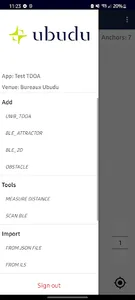
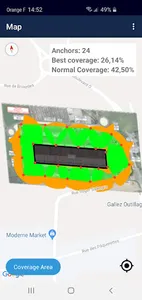
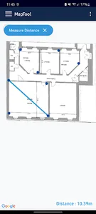
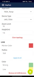
Maptool is a mobile application used to simulate the signal coverage and evaluate physical
location of BLE beacons before actually installing them. With Maptool, it is possible to load the
same Map with geo-metadata which will be used with ILS (See Ubudu Map Manager Process
documentation). Adding beacons and obstacles on the Map enables the simulation of location
accuracy.This part is important during the installation process since most of the Maps are
heterogeneous.
Show More


