AppRecs review analysis
AppRecs rating 3.8. Trustworthiness 45 out of 100. Review manipulation risk 28 out of 100. Based on a review sample analyzed.
★★★☆☆
3.8
AppRecs Rating
Ratings breakdown
5 star
50%
4 star
0%
3 star
25%
2 star
25%
1 star
0%
About EnRoutePro
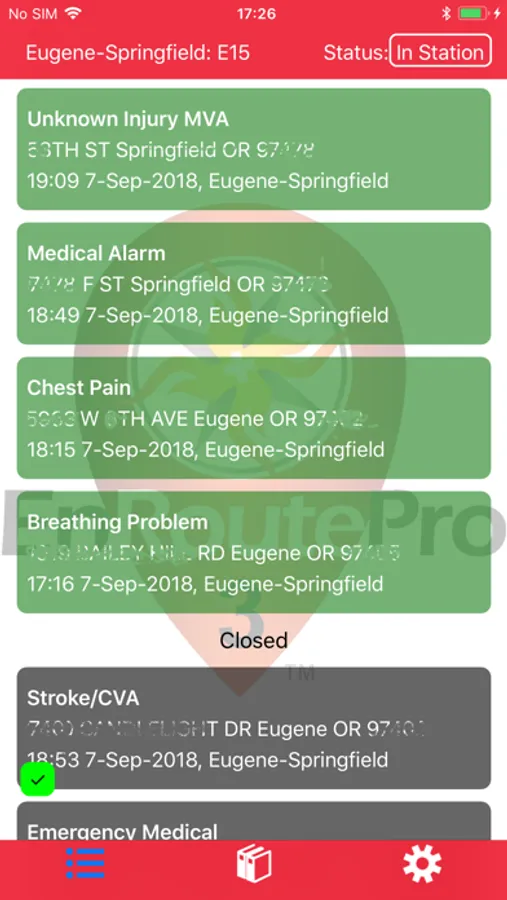
EnRoutePro is a comprehensive service for emergency response agencies that provides 3 key capabilities:
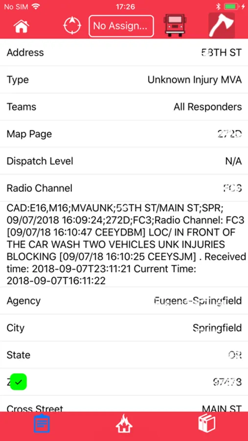
1. EnRoutePro notifies responders of new incidents and provides a mechanism for responders to indicate their response status and receive turn-by-turn directions to the scene
2. EnRoutePro acts as an electronic binder so that responders can easily access information they need on their way to incidents. It automatically chooses the most appropriate document (pre-plan, street map, map page or other document) for the incident location.
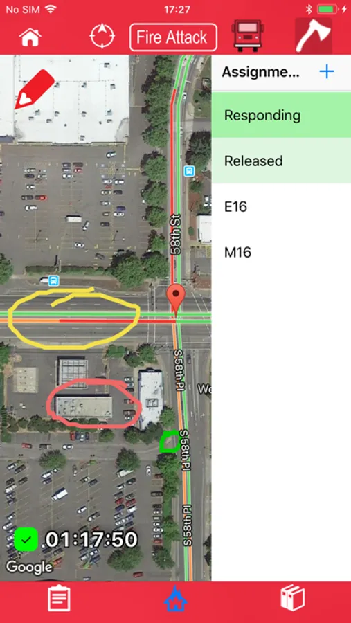
3. EnRoutePro provides an overview of the incident so that Incident Command can easily identify what resources are on scene and track assignments for apparatus and personnel. New for EnRoutePro 3.4: incident command can draw over the map so that everyone sees the plan visually on their phone or tablet. Map markers show where critical resources (hydrants, water sources, hazards) are directly on the map as well.
EnRoutePro apps communicate with the EnRoutePro server when an internet connection is available to communicate location and status information. Each user of the app can see the entire incident, and everyone sees the same view. When off-line, activity is tracked and then communicated to the server at the next opportunity where internet connectivity is available.
EnRoutePro runs on phones and tablets. It’s designed for use by responders as well as in response vehicles.
Fire agencies commonly respond with neighboring agencies for incidents. EnRoutePro 3.0 allows agencies to post library content that’s accessible for review by neighboring agencies, and track apparatus and personnel from neighboring partners.


