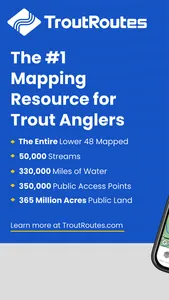
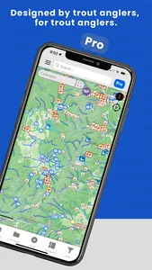
TroutRoutes is your ultimate guide to trout streams. Designed by avid anglers to include everything you need to discover and explore great trout fishing destinations across the United States.
TroutRoutes helps fly fishing anglers enjoy new trout streams, with key features like…
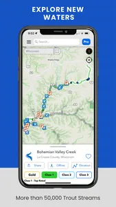
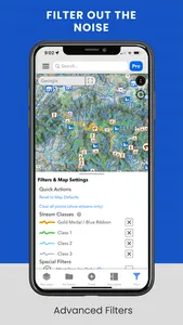
• DISCOVER: Color-coded stream ratings allow you to find quality fly fishing spots at a glance
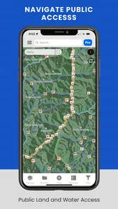
• ACCESS: Public and non-public land and access points, trails, easements, wildlife management areas, and parking spots
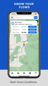
• EXPLORE: Detailed elevation profiles, water levels, and flow rates help you know when and where to start casting
• TRACK: Log your favorite spots, streams. Your content stays private!
Features:
- Over 50,000 trout streams, each with custom access maps
- Industry's first Regulations PRO maps, showing every stream regulation in the country
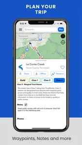
- Detailed access maps include everything from fishing easements to state parks and other access points
- Detailed fishing access including hiking, bridges, places to park, and other designated fishing access
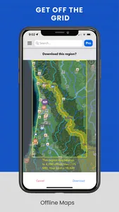
- Offline maps: Save your maps for offline use!
- Interactive elevation maps for all trout streams
- Create and manage YOUR content privately. Create custom markers, create notes, mark favorite streams, even create custom shapes and add picture.
With our new 4.7 launch, our platform now includes all lower 48 states with 17 custom map layers providing over 650,000 custom access points.
Check back for updates – we are actively adding new features and refining our coverage of the United States!
Show More
