About JMap Survey
JMap Survey connects to JMap Server (license needed). It allows you to go in the field and capture geospatial data for activities such as asset inventories or inspections.
JMap Survey features:
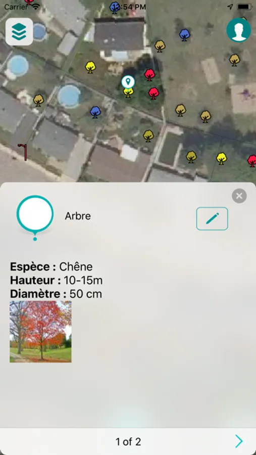
- Access all your JMap projects
- Available base maps
- Works in online or offline modes
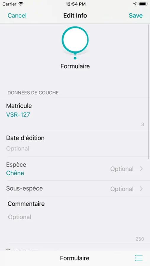
- Uses smart forms defined in JMap Admin
- Take photos during data capture
- Uses built-in or paired GPS
- Access your documents from the map (requires JMap Documents license)
JMap Survey features:
- Access all your JMap projects
- Available base maps
- Works in online or offline modes
- Uses smart forms defined in JMap Admin
- Take photos during data capture
- Uses built-in or paired GPS
- Access your documents from the map (requires JMap Documents license)


