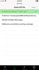
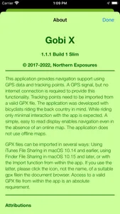
This application provides navigation support using GPS data and previously recorded tracking points. A GPS signal, but no internet connection is required to provide this functionality. Tracking points need to be imported from a valid GPX file. Since the GPX coordinates are not necessarily tied to the road system, it is possible to navigate anywhere on Earth with GPS satellite coverage.
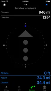
The application was developed with bicyclists riding the back country in mind. While riding only minimal interaction with the app is expected. A simple, easy to read display enables navigation even in the absence of an online map. The application does not use offline maps.
FEATURES
Upload GPX file to documents directory on device.
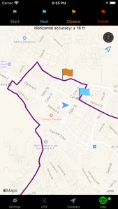
Display user location, route, start, finish, and next point.
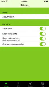
Display optionally online map, mile markers and waypoints.
Indicate direction, distance, and altitude gain/loss to next point on track.
Handle multi-segment tracks.
Indicate GPS accuracy.
Enable reverse direction.
Load/Save user settings.
Show More
