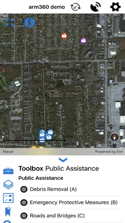
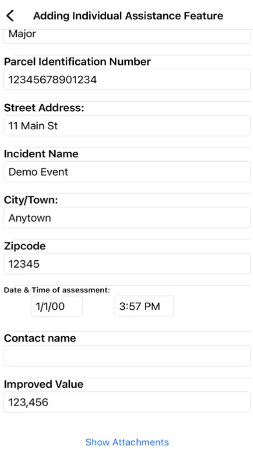
About ARM360
Arm360 is a GIS based data collection system.
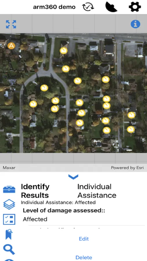
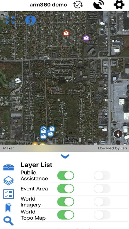
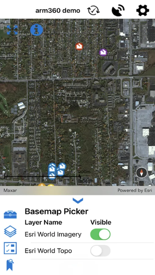
Use maps anywhere to Assess (collect) data, Report observations and respond to events and upload your information to a shared Map (arm360).
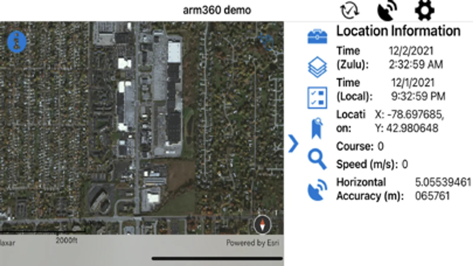
Arm360 offers offline automation of data collection, allowing the user to field verify information, such as address or asset IDs.
This app is based on the Esri GIS system and requires the Arm360 administrator running at your agency for full capabilities.
Use maps anywhere to Assess (collect) data, Report observations and respond to events and upload your information to a shared Map (arm360).
Arm360 offers offline automation of data collection, allowing the user to field verify information, such as address or asset IDs.
This app is based on the Esri GIS system and requires the Arm360 administrator running at your agency for full capabilities.
ARM360 Screenshots

Tap to Rate: