About FieldX Borders
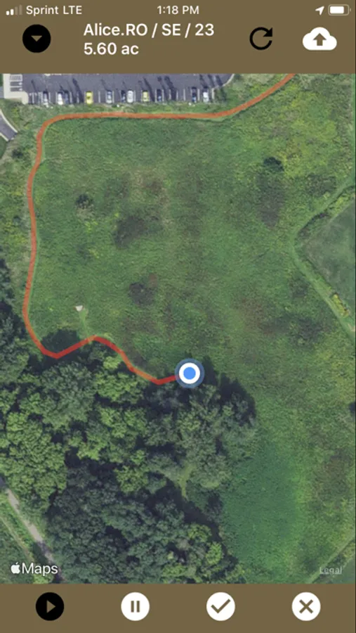
FieldX Borders™ is an agricultural app used to create georeferenced Field Borders with the GPS on your device. Your location is recorded as you move around the field to create accurate field borders.
Field borders from the app can then be uploaded to our secure server for use across the FieldX platform.
Features include:
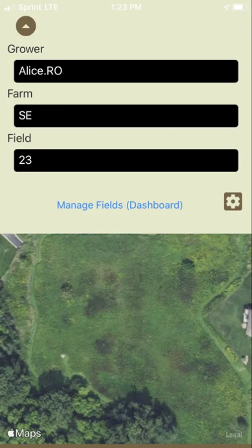
- Create and sync georeferenced field borders.
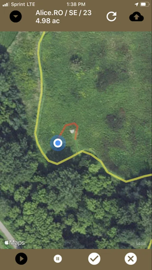
- Add multiple polygons to a field.
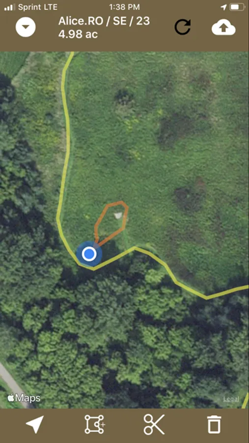
- Add cuts to polygons.
- Delete Field Borders.
- View acreage of synced field border.
The FieldX platform is used for Crop Scouting, Crop Recordkeeping, and Soil Sampling across the United States and Canada.
**Please note that this app is for existing FieldX customers. If you are not a customer, start a free trial today.


