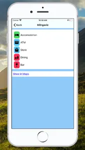
An app to help you plan and walk the West Highland Way. It lies every stop with available facilities, shows a route profile, and calculates when you will arrive. Each stop is shown with distance, ascent, and descent.
Once you are on the route the distances will updated automatically.
If you want to know where you will get lunch today, or where you will camp tomorrow this app can help!
It includes both Northbound and Southbound routes.
Once you are on the route the distances will updated automatically.
If you want to know where you will get lunch today, or where you will camp tomorrow this app can help!
It includes both Northbound and Southbound routes.
Show More


