About PointMate
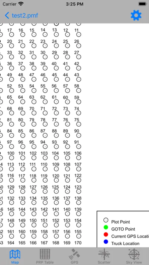
PointMate software is designed to allow the user to locate and establish points. By importing a shapefile you can view and choose the point you wish to travel to then establish the plot for your records. Add points while in the field. Supports Eos Arrow GPS Units.
