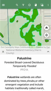
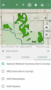
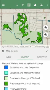
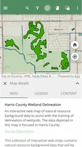
This interactive web maps contains natural resource background data that will be used to assist with the delineation of wetlands in accordance with the 1987 United States Army Corps of Engineers Wetland Delineation Manual. The data includes natural resource data such as the National Wetland Inventory, National Hydrography, USACE district boundaries, Regional Supplement boundaries, Natural Resources Conservation Service (NRCS) soil survey data, and Texas threatened and endangered species data. These maps are used as supplements for the Whitenton Group training course.
Show More


