About GPXLAB
What is GPXLAB?
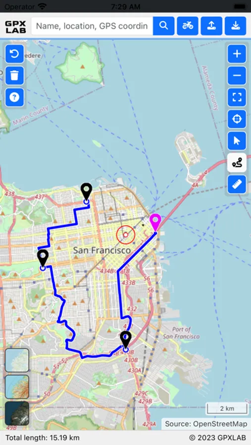
GPXLAB is a program designed specifically for drawing and editing GPS tracks tailored to off-road use and navigation in even the most remote and challenging terrains.
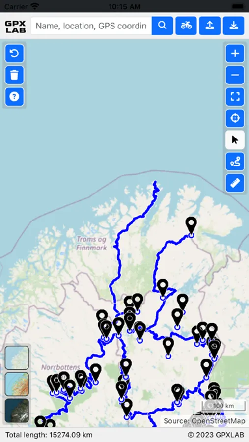
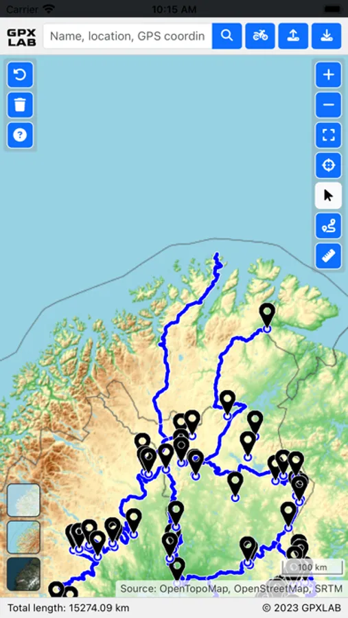
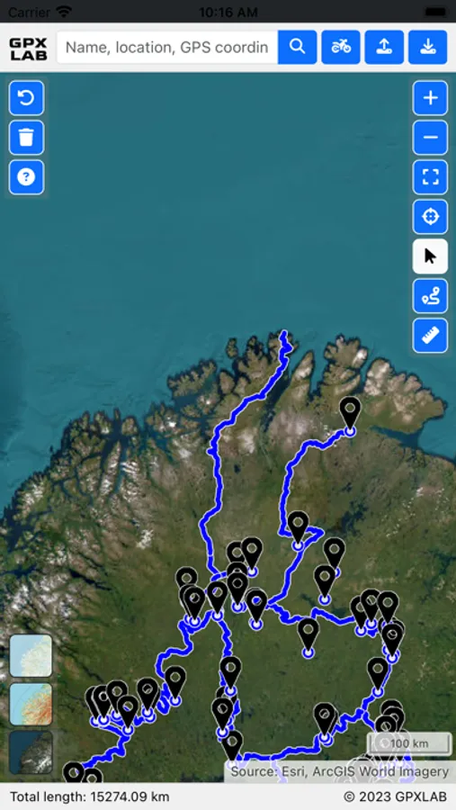
GPXLAB harnesses the power of diverse data sources, with a particular focus on utilizing OpenStreetMap, OpenTopoMap, and ArcGIS World Imagery. Application routing capabilities are elevated through Brouter and routing profiles, finely tuned with SRTM data, enabling you to navigate with precision through a range of terrains and environments.
Whether you're a seasoned adventurer or a casual explorer, GPXLAB empowers you to create, edit, and optimize GPS tracks with utmost ease. Navigating off the beaten path has never been more straightforward, thanks to the user-friendly capabilities of GPXLAB.
Try GPXLAB and plan your next outdoor adventure.
Features
- GPS track editor
- Automated routing with various profiles
- Feature editor
- Map view (default, topographic, satellite)
- GPX support
- KML & KMZ support
- Export map to image
- Search and geocoding
GPXLAB is a program designed specifically for drawing and editing GPS tracks tailored to off-road use and navigation in even the most remote and challenging terrains.
GPXLAB harnesses the power of diverse data sources, with a particular focus on utilizing OpenStreetMap, OpenTopoMap, and ArcGIS World Imagery. Application routing capabilities are elevated through Brouter and routing profiles, finely tuned with SRTM data, enabling you to navigate with precision through a range of terrains and environments.
Whether you're a seasoned adventurer or a casual explorer, GPXLAB empowers you to create, edit, and optimize GPS tracks with utmost ease. Navigating off the beaten path has never been more straightforward, thanks to the user-friendly capabilities of GPXLAB.
Try GPXLAB and plan your next outdoor adventure.
Features
- GPS track editor
- Automated routing with various profiles
- Feature editor
- Map view (default, topographic, satellite)
- GPX support
- KML & KMZ support
- Export map to image
- Search and geocoding
GPXLAB Screenshots
Tap to Rate: