About TOURinSTONES
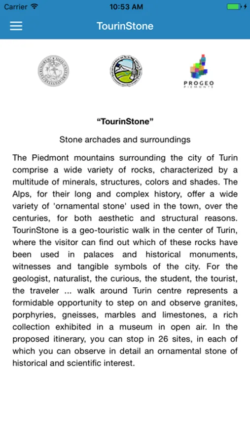
TOURinSTONES is a HTML5-based mobile application for promoting, increasing and enhancing urban geological heritage in the Torino (NW – Italy) city center. It is a project developed by the Earth Sciences Department of Torino University.
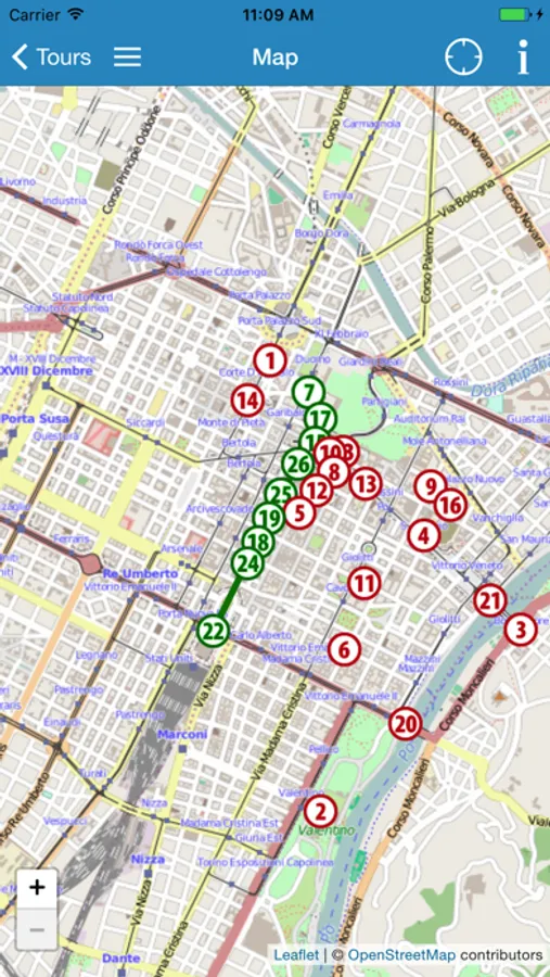
TOURinSTONES integrates an interactive map of the city. All the map tiles are integrated into the application, in order to avoid the need to download the map on the go which in some cases might result in expensive roaming cost if the user is abroad. The interactive map shows 25 places where historic and petrographic information are available in order to present an overview about the main historic ornamental stones used in the buildings, churches and streets of the city center: an open-air petrographic collection, where an attentive visitor can enjoy a feeling of both scientific and cultural character. The current user's position is also shown on the map to ease way finding.
TOURinSTONES integrates an interactive map of the city. All the map tiles are integrated into the application, in order to avoid the need to download the map on the go which in some cases might result in expensive roaming cost if the user is abroad. The interactive map shows 25 places where historic and petrographic information are available in order to present an overview about the main historic ornamental stones used in the buildings, churches and streets of the city center: an open-air petrographic collection, where an attentive visitor can enjoy a feeling of both scientific and cultural character. The current user's position is also shown on the map to ease way finding.


