Elevation and Sea Depth
Binary Solutions
5.0 ★
138 ratings
50,000+
downloads
Free
+ in-app
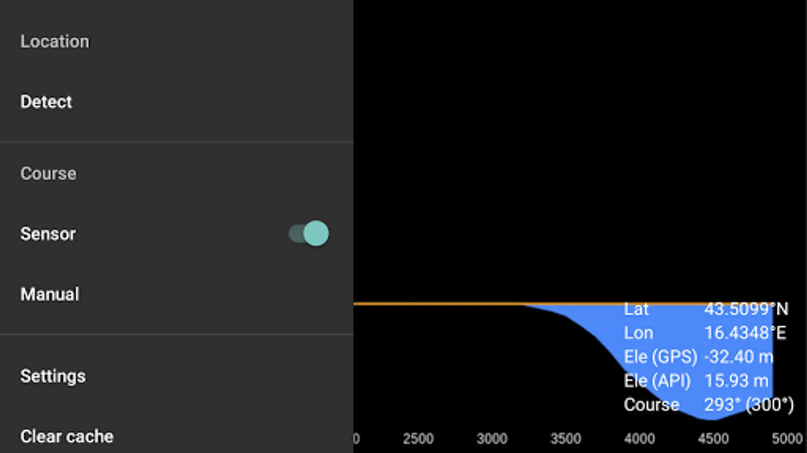
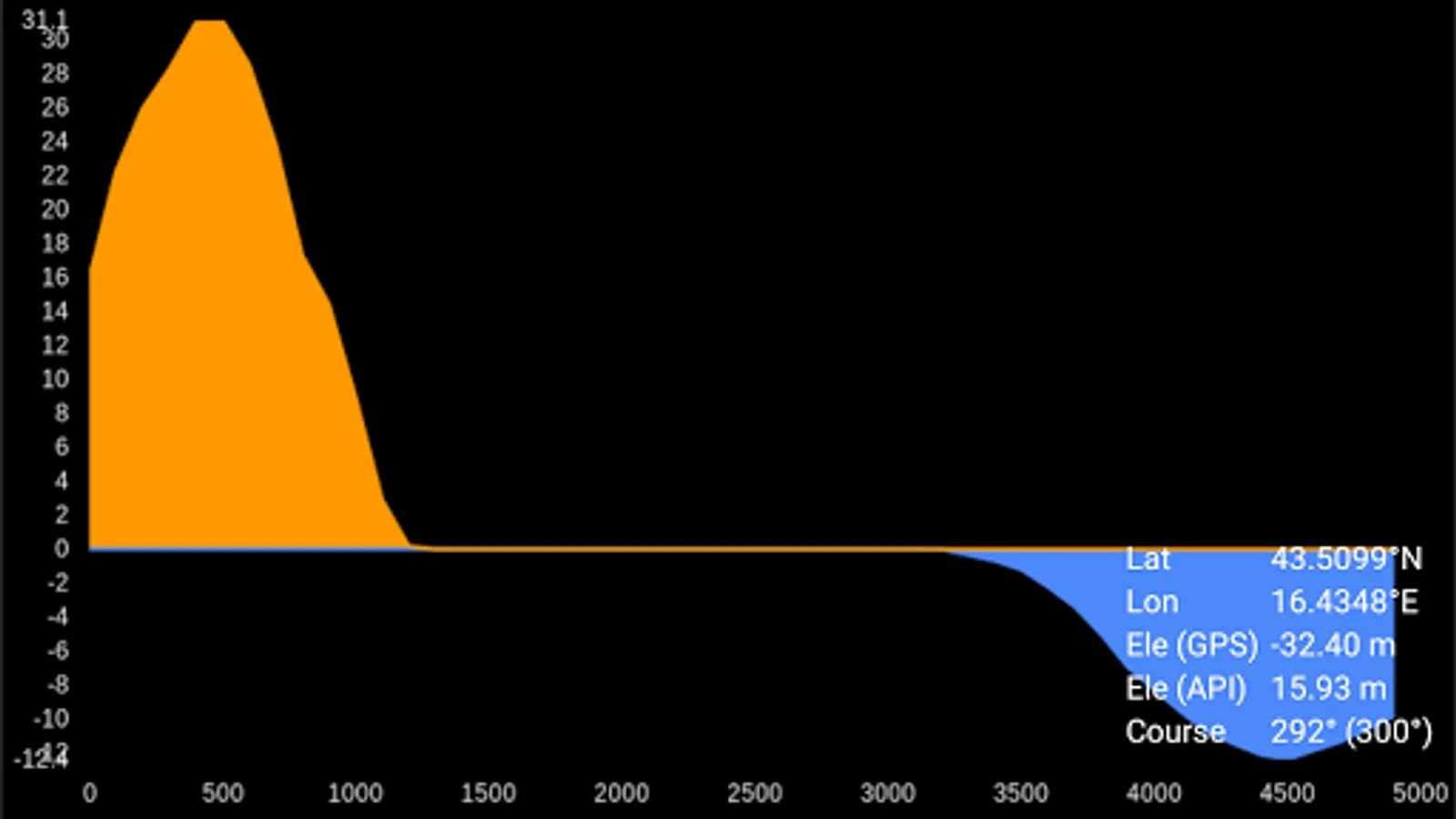
With this navigation app, you can view elevation and sea depth profiles in the direction of your phone. Includes data points every 10m or 100m, with directional rounding every 30 degrees.
AppRecs review analysis
AppRecs rating 4.5. Trustworthiness 51 out of 100. Review manipulation risk 28 out of 100. Based on a review sample analyzed.
★★★★☆
4.5
AppRecs Rating
Ratings breakdown
5 star
100%
4 star
0%
3 star
0%
2 star
0%
1 star
0%
What to know
✓
High user satisfaction
100% of sampled ratings are 5 stars
✓
Authentic reviews
No red flags detected
About Elevation and Sea Depth
Displays elevation and/or sea depth (terrain/elevation profile) in the direction of the phone. Useful for hiking, trekking, mountaineering and fishing.
* 5km range
* ele. pts every 10m/100m horizontally
* directions rounded to 30° steps
Hold phone on flat surface and away from ferrous metal objects and electromagnetic fields.
* 5km range
* ele. pts every 10m/100m horizontally
* directions rounded to 30° steps
Hold phone on flat surface and away from ferrous metal objects and electromagnetic fields.
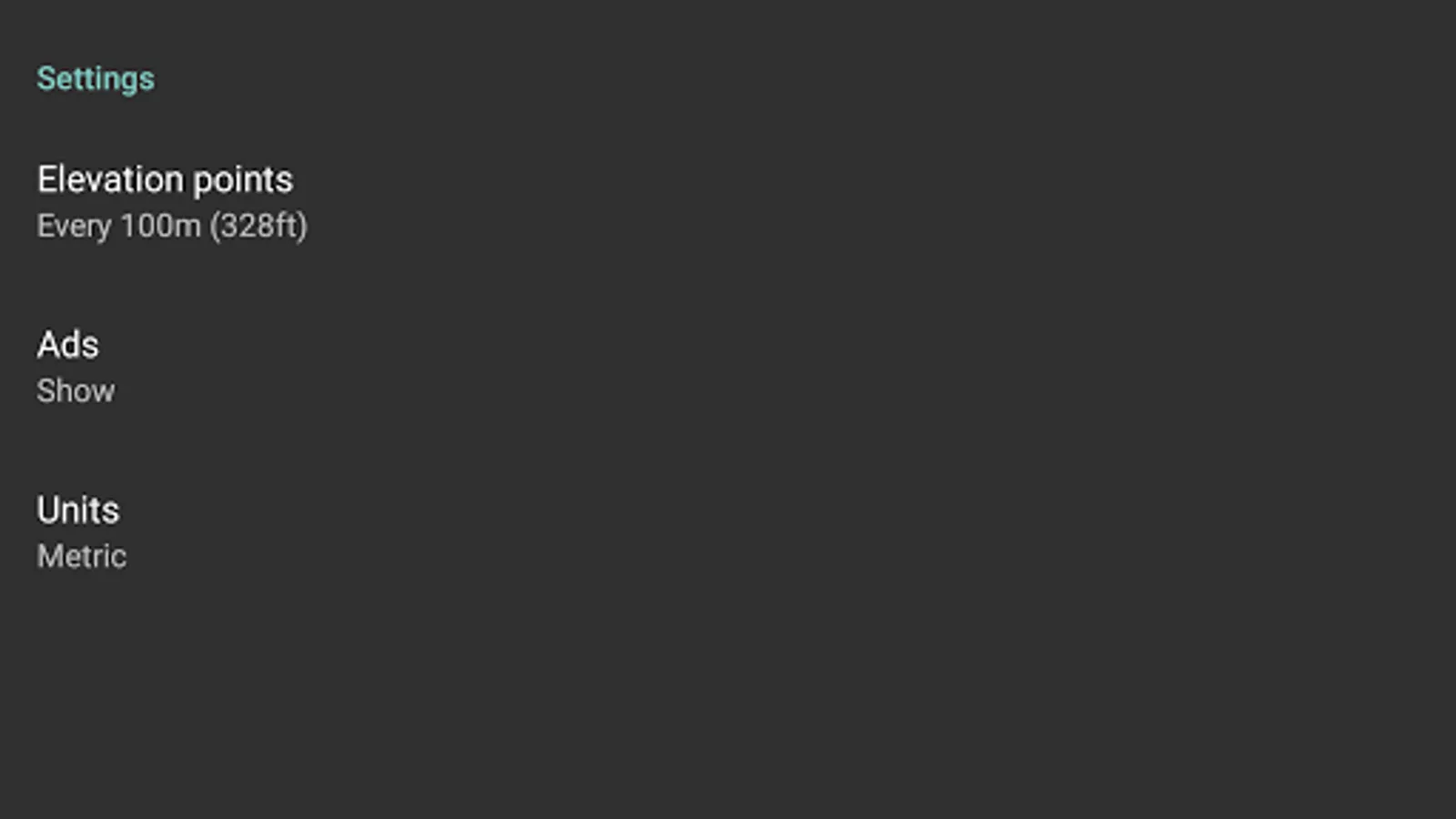
Elevation and Sea Depth Screenshots
Tap to Rate:
Reviews for Elevation and Sea Depth
Cool Math (Samir)
7/16/2021
Did not work
Frazer Elliott-jackson
1/30/2021
It didnt work