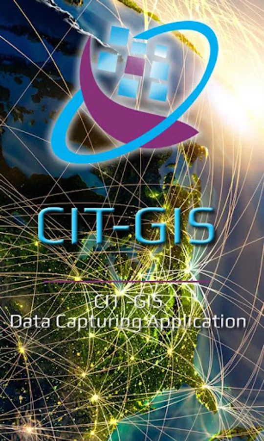
CIT-GIS App
Center for Innovation in Technology (Zimbabwe)
100+
downloads
Free
About CIT-GIS App
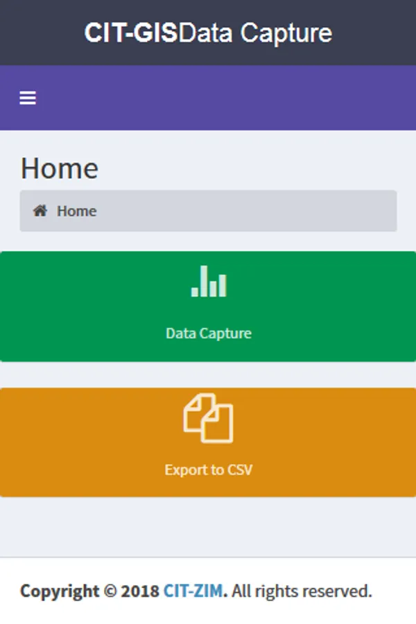
CIT-GIS App has the following features and capabilities:
Replaces the use of handheld GPS devices, and thus it’s cost-effective and efficient.
Comes with multiple attributes and functionalities packaged in one mobile application.
Ease of use, the application is user-friendly and comes with an easy to use interactive interface with clear guidelines, navigation and layout.
Scalability: the app is scalable more features can be added and updated in real-time without the user being required to download and update.
Easy to download and install
Compatible with multiple platforms i.e. Android, IOS – Iphone, Windows etc.
Secure, the app is fully supported and continuously monitored
Access Roles, access levels used to define who access what information allowing for accountability in case of data captured, edited or deleted.
Cloud Backups: no data is lost, data is stored as recorded, meaning even if the app is deleted from the mobile device data remains intact on the server.
Data protection: data protected from unauthorized access, bugs and data-corruption through; SSL (secure socket layer), Site Guard, and CIT-Cybersecurity protocols.
The app follows the General Data Protection Regulation (GDPR) standard for location sharing and data privacy.
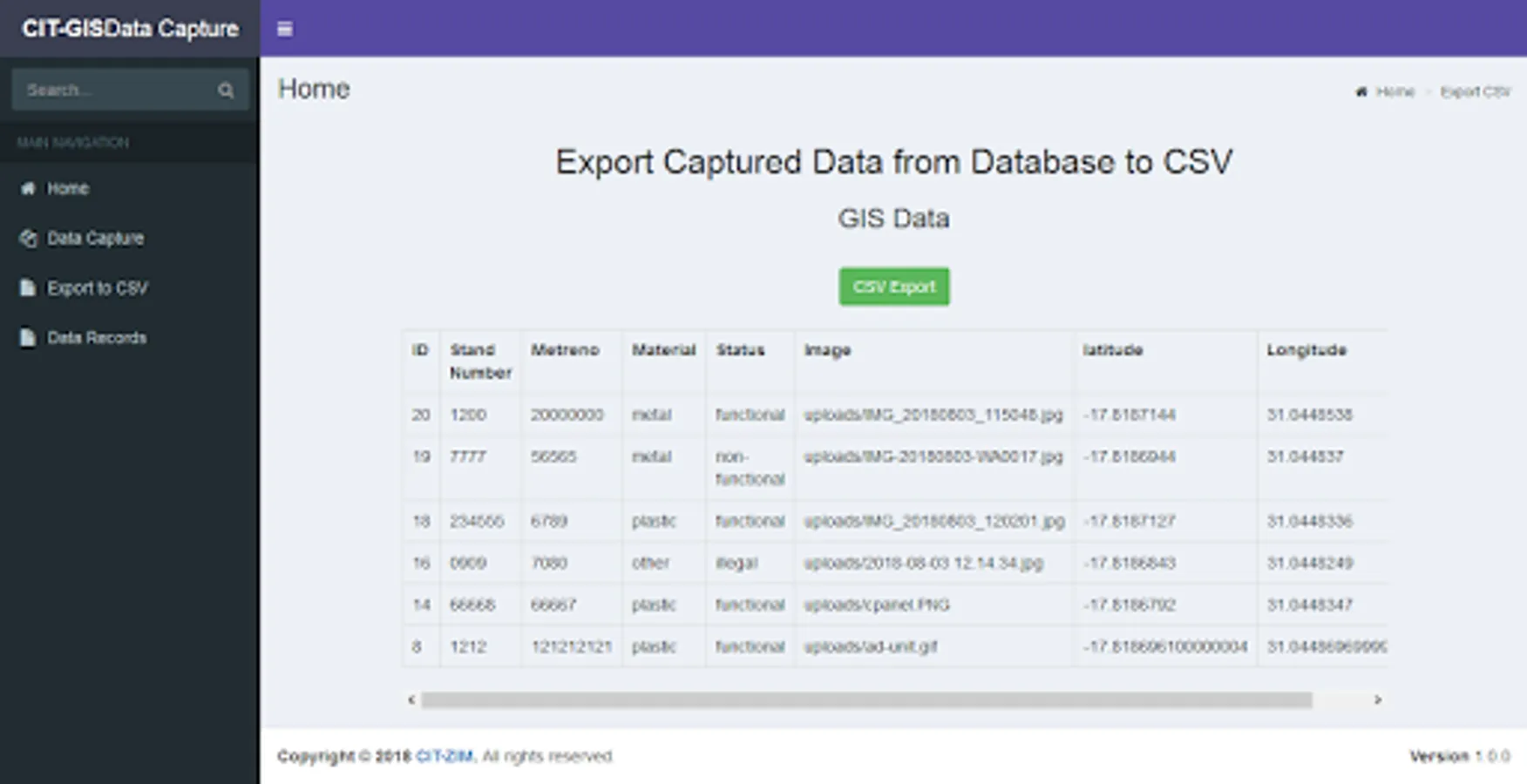
CIT-GIS app makes real-time calculations of geo-coordinates and altitude with high degree of accuracy for clean records and accurate data.
Replaces the use of handheld GPS devices, and thus it’s cost-effective and efficient.
Comes with multiple attributes and functionalities packaged in one mobile application.
Ease of use, the application is user-friendly and comes with an easy to use interactive interface with clear guidelines, navigation and layout.
Scalability: the app is scalable more features can be added and updated in real-time without the user being required to download and update.
Easy to download and install
Compatible with multiple platforms i.e. Android, IOS – Iphone, Windows etc.
Secure, the app is fully supported and continuously monitored
Access Roles, access levels used to define who access what information allowing for accountability in case of data captured, edited or deleted.
Cloud Backups: no data is lost, data is stored as recorded, meaning even if the app is deleted from the mobile device data remains intact on the server.
Data protection: data protected from unauthorized access, bugs and data-corruption through; SSL (secure socket layer), Site Guard, and CIT-Cybersecurity protocols.
The app follows the General Data Protection Regulation (GDPR) standard for location sharing and data privacy.
CIT-GIS app makes real-time calculations of geo-coordinates and altitude with high degree of accuracy for clean records and accurate data.