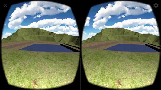
The application allows you to visualize surfaces exported from TcpMDT to the cloud in a zip file, and show a simple tour of the terrain using CardBoard type Virtual Reality glasses.
This is one of the final products of the PANDORA project, developed with the economic collaboration of the FEDER and the CDTI. See: https://www.aplitop.com/pandora-project
This is one of the final products of the PANDORA project, developed with the economic collaboration of the FEDER and the CDTI. See: https://www.aplitop.com/pandora-project
Show More