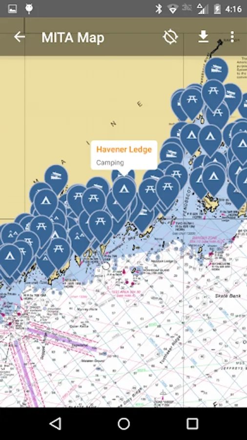
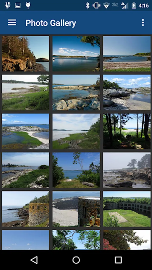
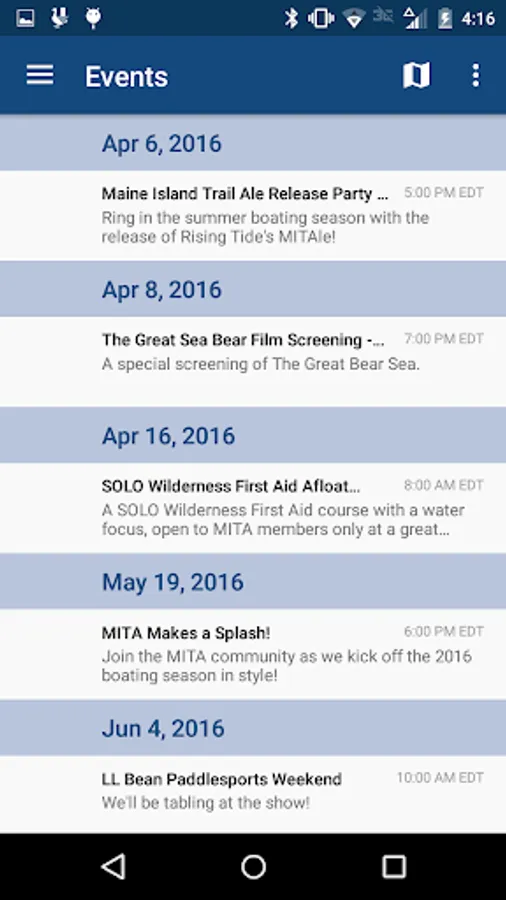
With this app, you can explore publicly-owned islands, view tide charts, and access safety information. Includes photos, pump-out locations, launch sites, and Maine Island Trail news.
AppRecs review analysis
AppRecs rating 4.5. Trustworthiness 66 out of 100. Review manipulation risk 36 out of 100. Based on a review sample analyzed.
★★★★☆
4.5
AppRecs Rating
Ratings breakdown
5 star
78%
4 star
14%
3 star
2%
2 star
0%
1 star
6%
What to know
✓
High user satisfaction
78% of sampled ratings are 5 stars
About MITA
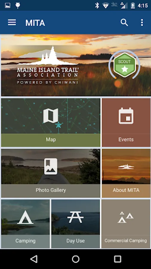
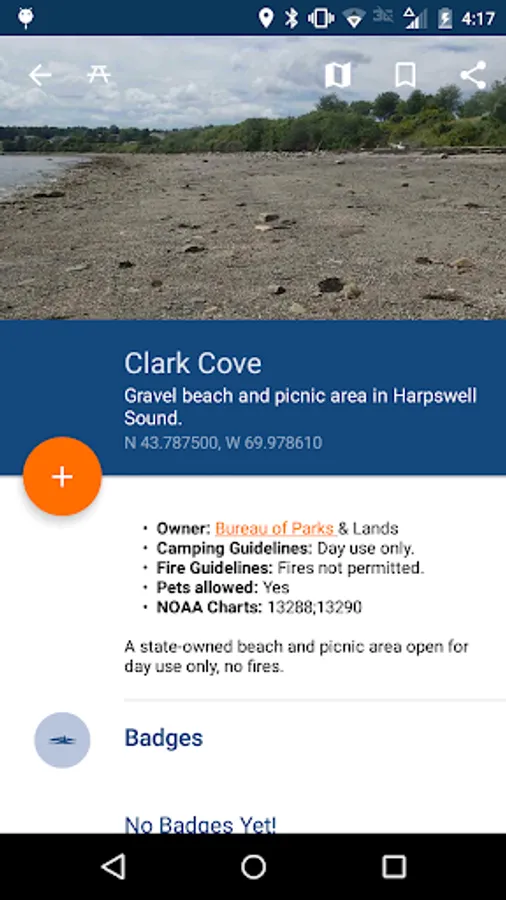
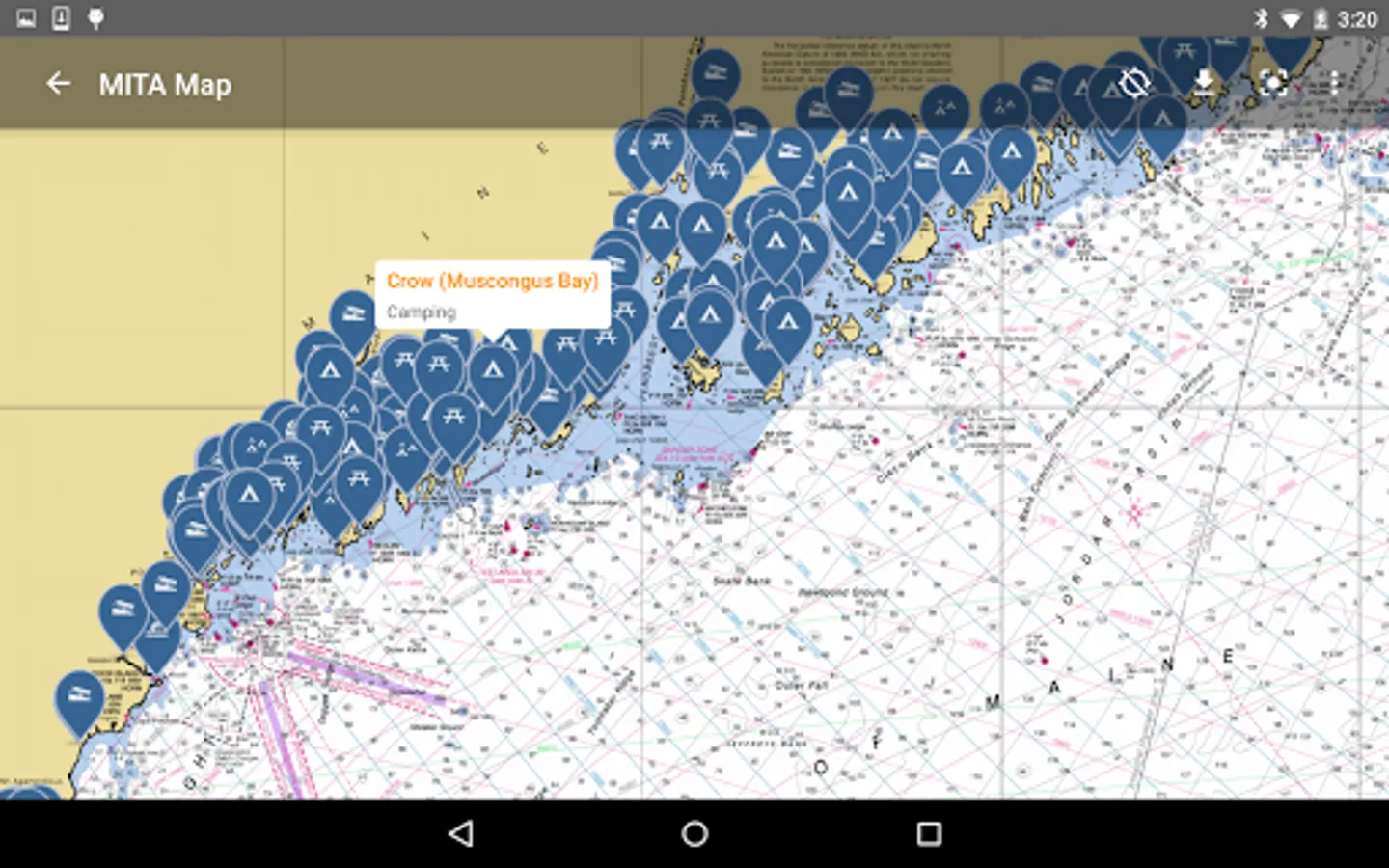
The Maine Island Trail is a water trail that connects over 200 islands and mainland sites along the Coast of Maine. The first recreational water trail in North America, the Maine Island Trail allows small boaters to explore and camp among thousands of islands in the most spectacular paddling/cruising grounds in the continental US.
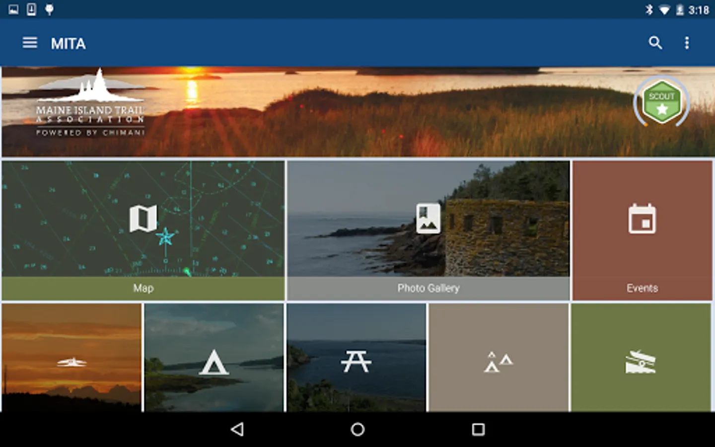
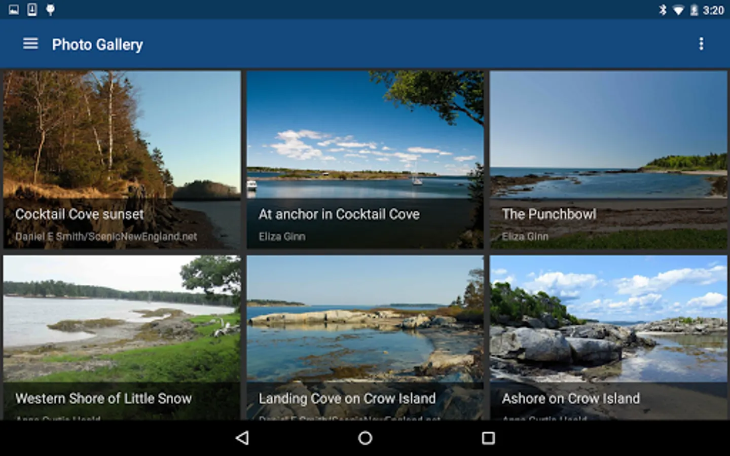
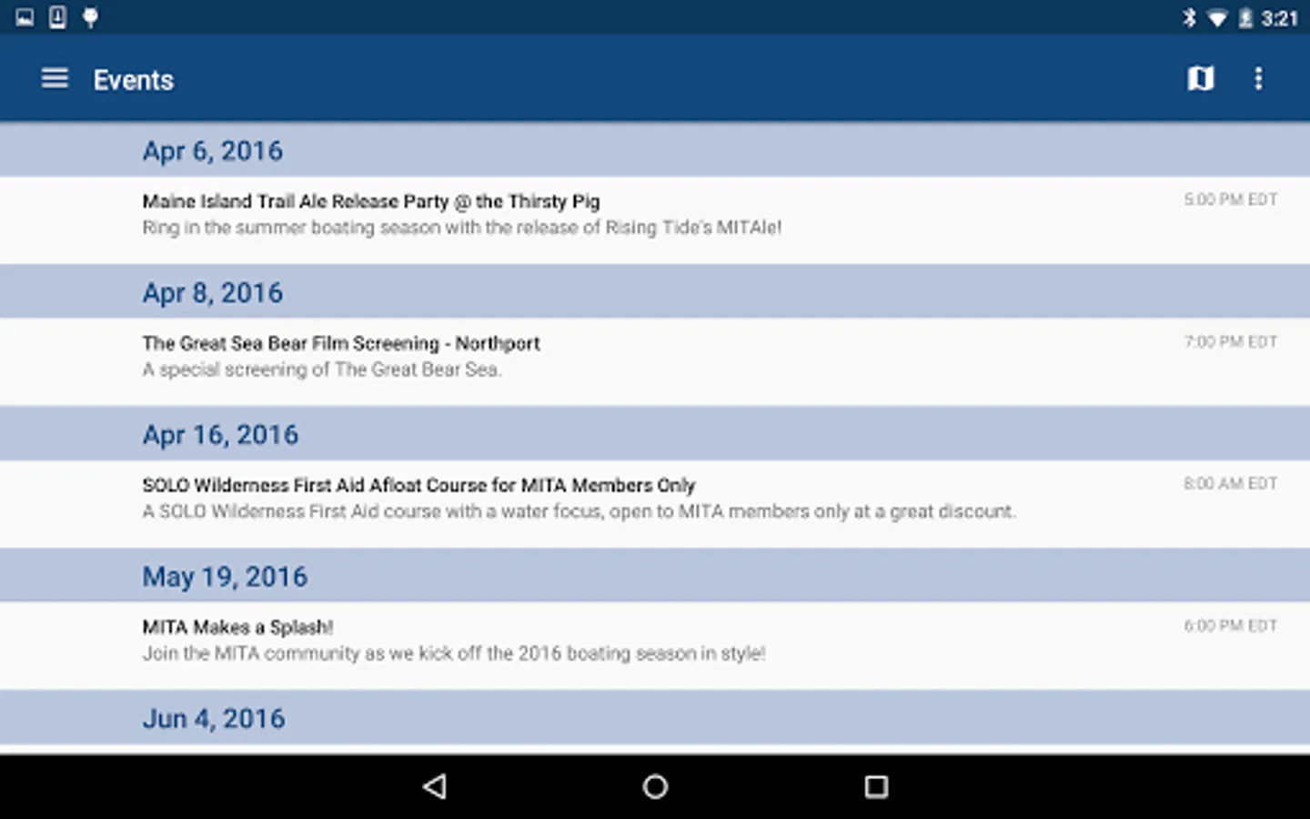
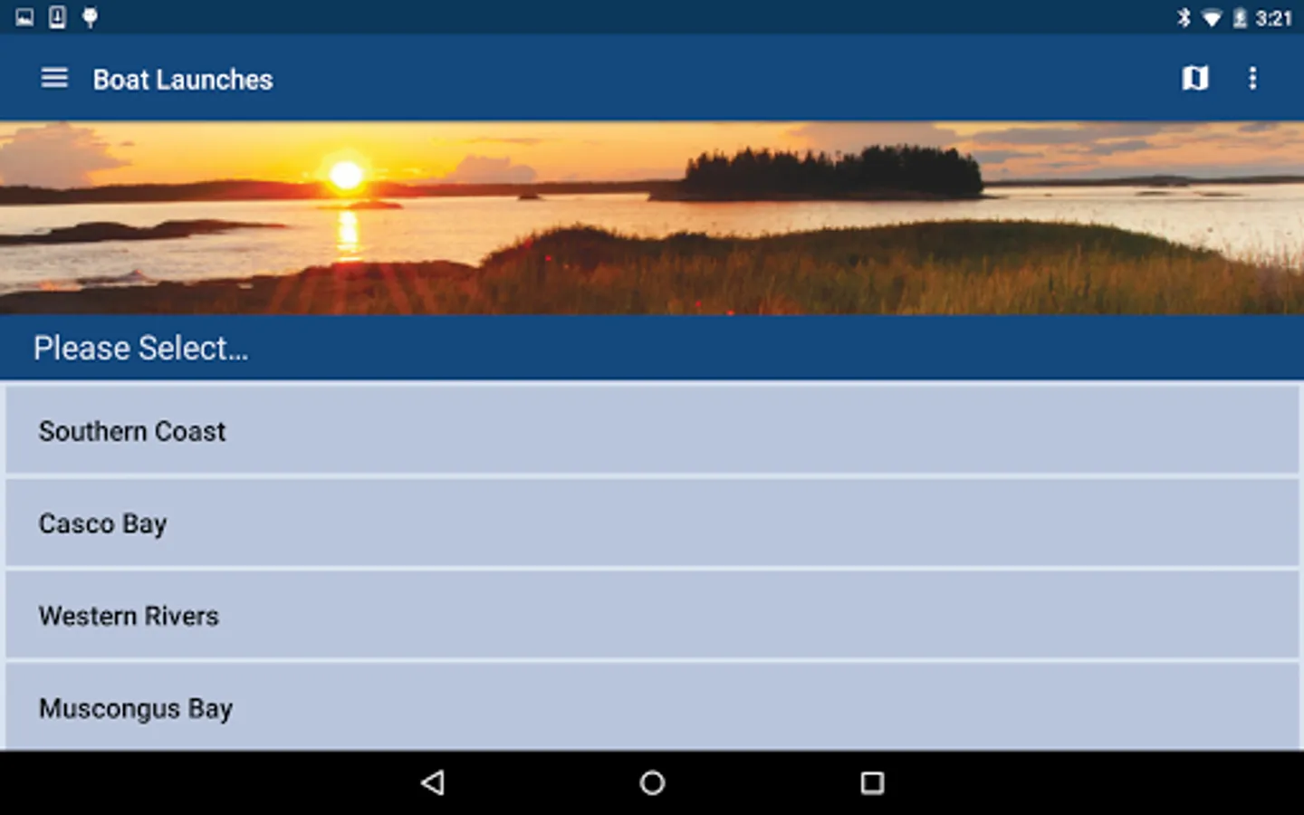
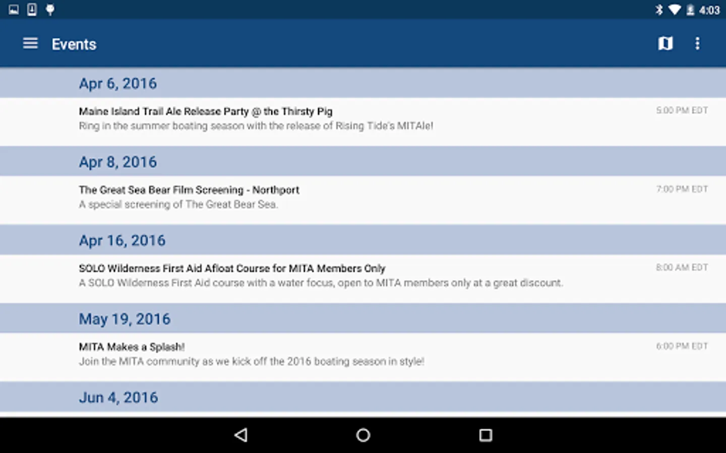
Partnering with Maine-based Chimani, the Maine Island Trail Association (MITA) has developed an app for its members and the public to explore the Trail virtually. This free app allows anyone to view some publicly-owned islands, learn about the Trail, see spectacular photos, pump-outs, tide charts, safety information, and launch sites, and to see MITA news and events. Membership with MITA is required to view privately-owned sites.
Partnering with Maine-based Chimani, the Maine Island Trail Association (MITA) has developed an app for its members and the public to explore the Trail virtually. This free app allows anyone to view some publicly-owned islands, learn about the Trail, see spectacular photos, pump-outs, tide charts, safety information, and launch sites, and to see MITA news and events. Membership with MITA is required to view privately-owned sites.
MITA Screenshots


Tap to Rate:
Reviews for MITA
daniel ramey
7/1/2025
Most of the icons don't work. I've used this app in the past with no issues. I renewed my membership, downloaded offline maps, uninstalled and reinstalled several times, and the icons still just don't open. The charts are pretty good, but without the site information there is very little point to this app or membership with MITA.
Robert Holliday (Doc)
3/22/2025
Great fun !